


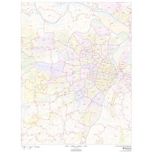
Wall Maps
Wall Maps
$69.99 – $309.99
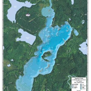
Lake Maps
$89.99 – $329.99
All Products
$69.99
All Products
$99.99
Lake Maps
$89.99 – $329.99
All Products
$99.99 – $609.99
All Products
$99.99 – $609.99
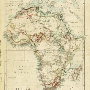
Africa Continent Wall Maps
$64.99 – $199.99
$99.99 – $339.99
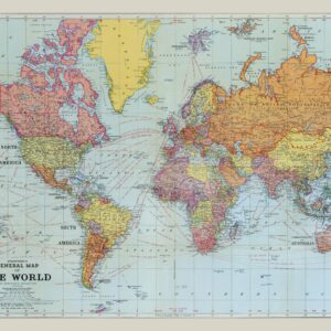
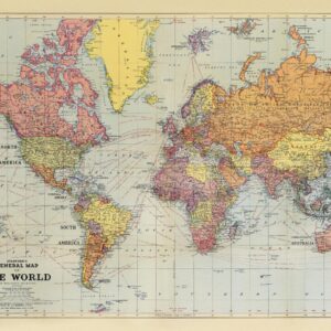
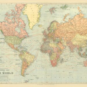
Wall Maps
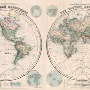
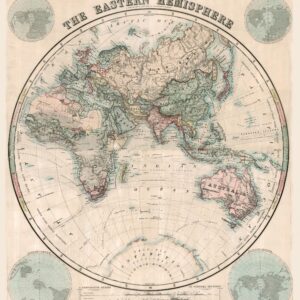
Stanford’s Eastern and Western Hemispheres Map (1877) – Resized to 2A0 height by Stanfords
$189.99 – $929.99
$159.99 – $829.99
Wall Maps
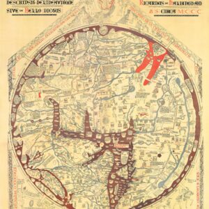
Stanford’s Facsimile of the Hereford Mappa Mundi (1869) – Resized to 2A0 width by Stanfords
$169.99 – $839.99
$69.99 – $289.99
$69.99 – $289.99
$69.99 – $289.99
$69.99 – $289.99
$69.99 – $289.99
$69.99 – $289.99
$99.99 – $599.99
$69.99 – $239.99
$99.99 – $569.99
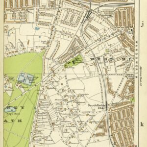
Wall Maps
Stanford’s Indexed Atlas of the County of London, Sheet 58, Putney & Southfields (1911) by Stanfords
$69.99 – $219.99
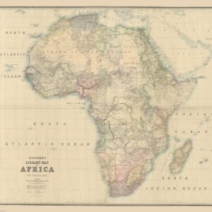
Africa Continent Wall Maps
$99.99 – $589.99
Wall Maps
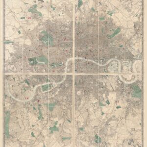
Stanford’s Library Map of London and its Suburbs (1878) – Resized to 2A0 width by Stanfords
$179.99 – $839.99
All maps can be laminated and used with dry-erase markers or mounted on foam core, which allows you to use map pins to mark the map. Click the categories above to explore. If you don't see the map you're looking for, click here to CONTACT US. If we don't have it, our cartographers on staff can make it for you.
