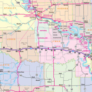
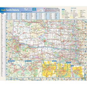
South Dakota Maps
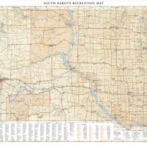
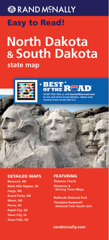
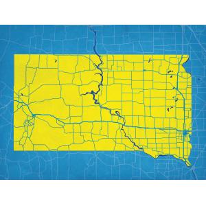
South Dakota is situated in the north-central United States, and is considered a part of the Midwest by the U.S. Census Bureau; it is also part of the Great Plains region. The culture, economy, and geography of western South Dakota have more in common with the West than the Midwest. This page may not include all the maps we carry for the state of South Dakota but these are some of the more popular maps. Please click here to search for the city or region that’s most important to you.
Maps by State
$99.99 – $339.99
$9.99
$7.99
All Products
$139.99 – $259.99
All Products
$139.99 – $269.99
All Products
$29.95
All Products
$19.00 – $169.00
All Products
$89.99 – $1,289.99
All Products
$139.99 – $269.99
All Products
$84.99 – $1,019.99

