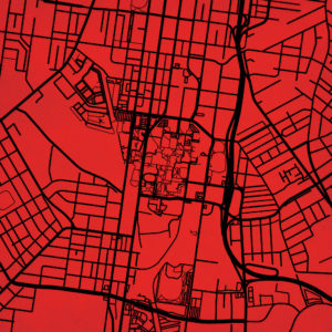
Kentucky Maps
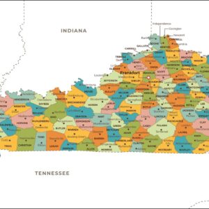
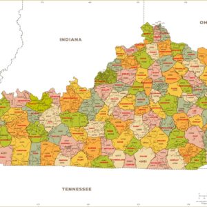
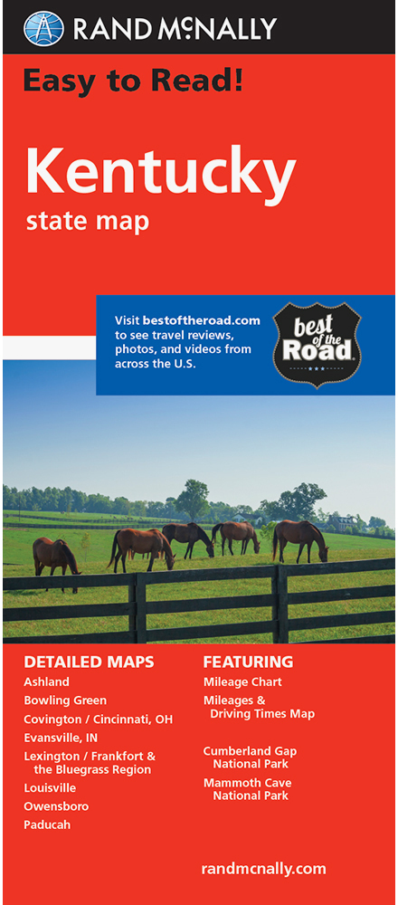
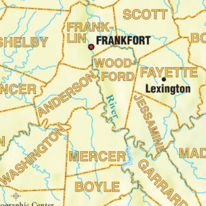
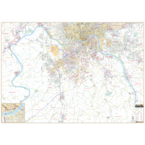
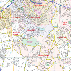
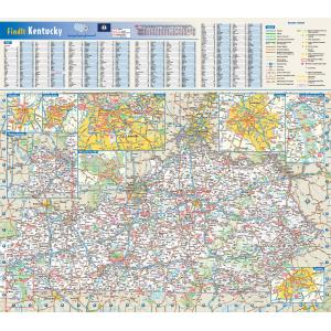
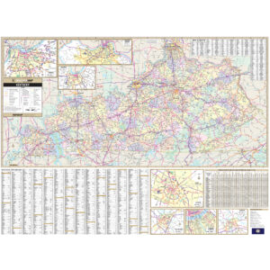
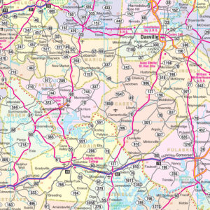
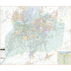
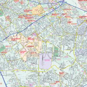
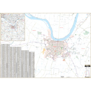
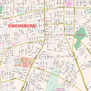
Kentucky is known as the “Bluegrass State”, a nickname based on the bluegrass found in many of its pastures due to the fertile soil. One of the major regions in Kentucky is the Bluegrass Region in central Kentucky which houses two of its major cities, Louisville and Lexington. It is a land with diverse environments and abundant resources, including the world’s longest cave system, Mammoth Cave National Park, the greatest length of navigable waterways and streams in the contiguous United States, and the two largest man-made lakes east of the Mississippi River. This page may not include all the maps we carry for the state of Kentucky but these are some of the more popular maps. Please click here to search for the city or region that’s most important to you.
Maps by State
Maps by State
All Products
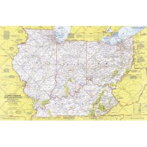
Close-up USA, Illinois, Indiana, Ohio, Kentucky – Published 1977 by National Geographic
College Campus Maps
All Products
All Products
All Products
All Products
All Products
All Products
All Products
City Prints Maps
All Products
City Prints Maps
City Prints Maps
All Products
College Campus Maps
College Campus Maps
College Campus Maps

