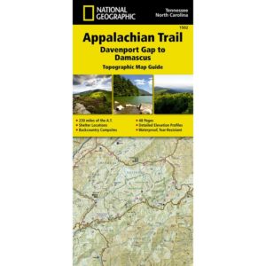
Appalachian Trail Maps
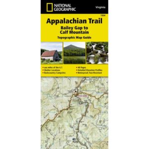
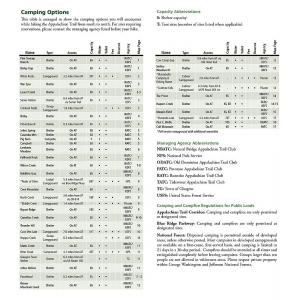
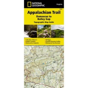
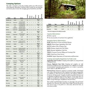
Browse our selection of Appalachian Trail Maps that allow thru and section hikers to plan and explore safely and efficiently. These lightweight AT maps are expertly researched and most focus on a specific section. Most maps include topography, trail mileage, road crossings, side trails, and a bird’s eye view of points of interest along the trail like shelter locations, campsites, water sources, resupply points, scenic sites, lodging, outfitters, and post offices. These maps and tear and water-resistant and fold down to fit in your pocket or backpack for convenient reference on the trail. We love technology and enjoy the convenience of GPS, but planning is difficult on a phone screen and navigation doesn’t work without a signal. Start your next treck on the right foot with a high-quality folding Appalachian Trail map. Contact us if you need help choosing the perfect map for your next adventure.

