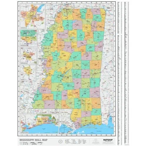
Mississippi is bordered on the north by Tennessee, on the east by Alabama, on the south by Louisiana and a narrow coast on the Gulf of Mexico; and on the west, across the Mississippi River, by Louisiana and Arkansas. This page may not include all the maps we carry for the state of Mississippi but these are some of the more popular maps. Please click here to search for the city or region that’s most important to you.

Price range: $49.99 through $774.99
Price range: $49.99 through $774.99

Price range: $49.99 through $774.99

Price range: $74.99 through $754.99

Price range: $89.99 through $1,239.99

Price range: $139.99 through $259.99

Price range: $139.99 through $269.99

Price range: $39.00 through $229.00

Price range: $39.00 through $229.00

Price range: $84.99 through $374.99

Price range: $84.99 through $374.99

Price range: $84.99 through $374.99

Price range: $84.99 through $374.99

Price range: $104.99 through $929.99

Price range: $99.99 through $869.99

Price range: $39.00 through $249.00

Price range: $39.00 through $229.00


Out of stock