National Forest Maps
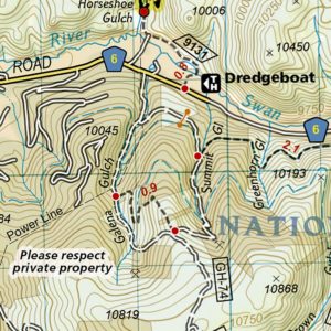
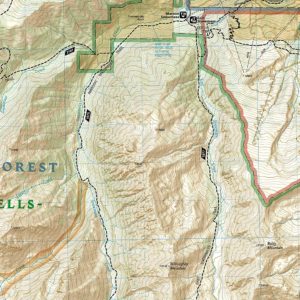
Browse our selection of National Forest maps that allow you to plan your visit and explore safely and efficiently. See the full listing below or search using the field at the top right to find the map of a specific area. These maps are expertly researched and include miles of detailed trails and points of interest. Most maps also include area descriptions, distances, difficulty ratings, and trail features. All the National Geographic maps are “Backcountry Tough” because the ink is waterproof and they are printing on tear-resistant paper. These also include a full UTM grid printed on the map to aid with GPS navigation. These maps fold down and fit in your pocket or backpack for convenient reference on the trail. We love technology and enjoy the convenience of GPS, but planning is difficult on a phone screen and navigation doesn’t work where there’s no cell signal. Start your next trip on the right foot with a high-quality folding trail travel map. Contact us if you need help choosing the perfect map for your next adventure.
![National Geographic - Baxter State Park [Mount Katahdin, Katahdin Iron Works] - Trails Illustrated Folding Travel Map](https://www.mapshop.com/wp-content/uploads/2018/07/0749717007543-230x300.jpg)
All Products
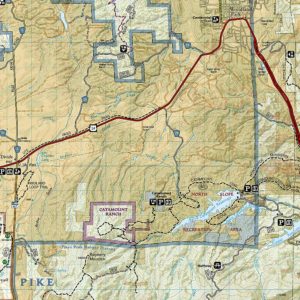
National Geographic – Colorado Backpack Loops North – Trails Illustrated Folding Travel Map
All Products
All Products
National Geographic – Maroon Bells, Redstone, Marble – Trails Illustrated Folding Travel Map
All Products
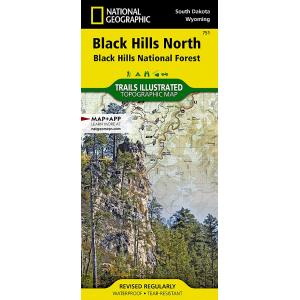
![National Geographic - Black Hills North [Black Hills National Forest] - Trails Illustrated Folding Travel Map](https://www.mapshop.com/wp-content/uploads/2018/03/0749717017511-300x300.jpg)
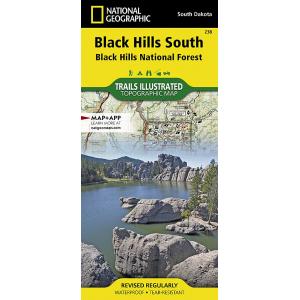
![National Geographic - Black Hills South [Black Hills National Forest] - Trails Illustrated Folding Travel Map](https://www.mapshop.com/wp-content/uploads/2018/03/0749717012387-300x300.jpg)

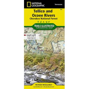
![National Geographic - Tellico and Ocoee Rivers [Cherokee National Forest] - Trails Illustrated Folding Travel Map](https://www.mapshop.com/wp-content/uploads/2018/03/0749717017818-300x300.jpg)
All Products
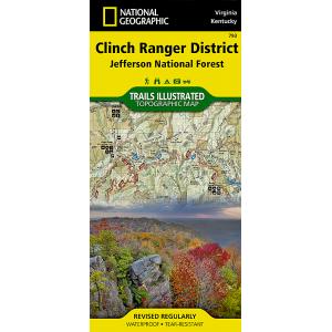
![National Geographic - Clinch Ranger District [Jefferson National Forest] - Trails Illustrated Folding Travel Map](https://www.mapshop.com/wp-content/uploads/2018/03/0749717007932-300x300.jpg)
All Products
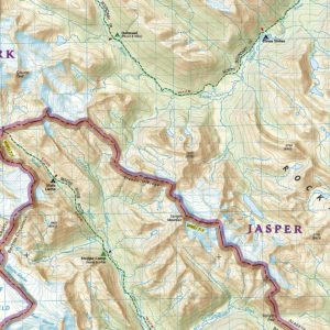
![National Geographic - Jasper North [Jasper National Park] - Trails Illustrated Folding Travel Map](https://www.mapshop.com/wp-content/uploads/2018/03/9781566956611-300x300.jpg)
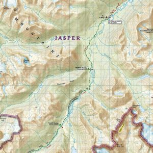
![National Geographic - Jasper South [Jasper National Park] - Trails Illustrated Folding Travel Map](https://www.mapshop.com/wp-content/uploads/2018/03/9781566956604-300x300.jpg)
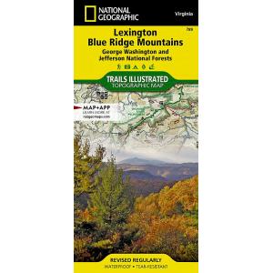
![National Geographic - Lexington, Blue Ridge Mts [George Washington and Jefferson National Forests] - Trails Illustrated Folding Travel Map](https://www.mapshop.com/wp-content/uploads/2018/03/0749717017894-300x300.jpg)
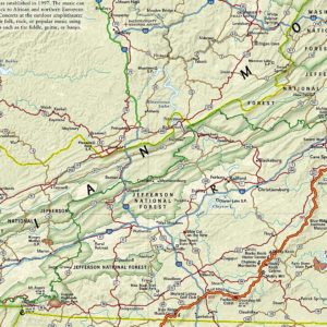
![National Geographic - Mount Rogers National Recreation Area [Jefferson National Forest] - Trails Illustrated Folding Travel Map](https://www.mapshop.com/wp-content/uploads/2018/03/0749717017863-300x300.jpg)