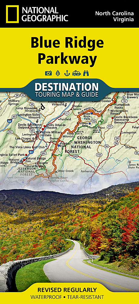
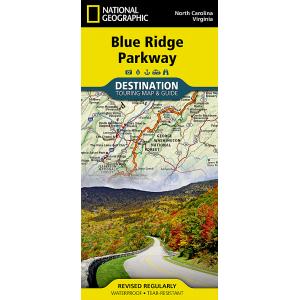
National Geographic – Blue Ridge Parkway – Destination Folding Travel Map
$14.95
Published: 2015
National Geographic’s Blue Ridge Parkway Destination Map strikes the perfect balance between map and guidebook and is ideal for a wide range of travelers.
Publication: 2015 || Size: 25.5″ x 37.75″
In stock
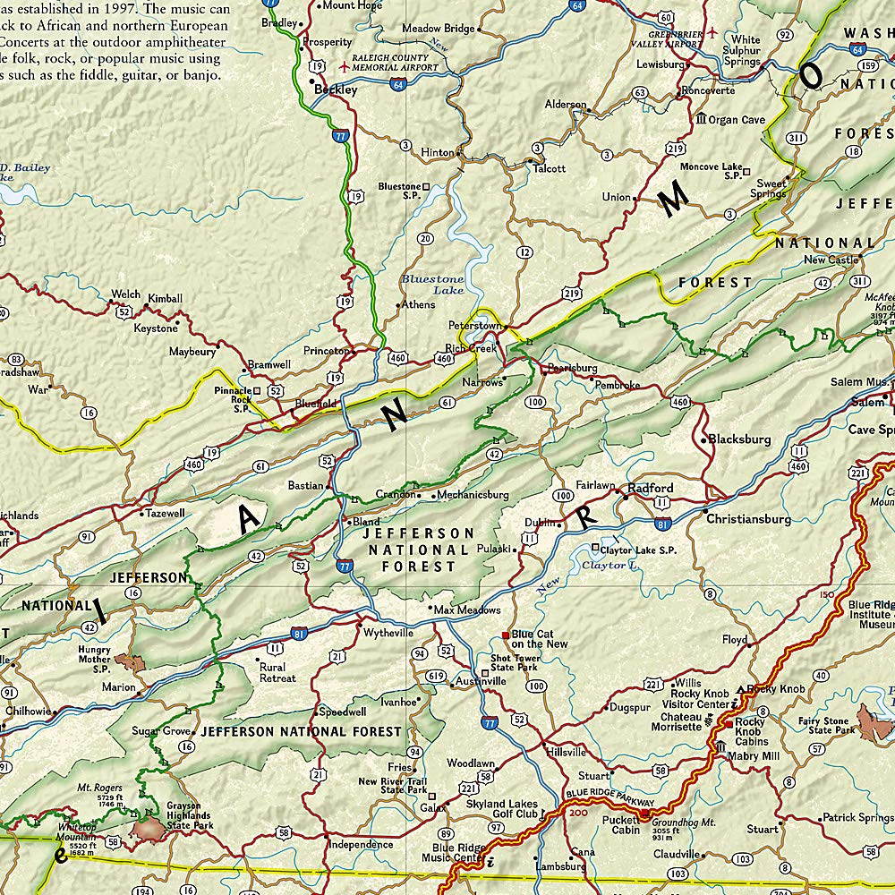
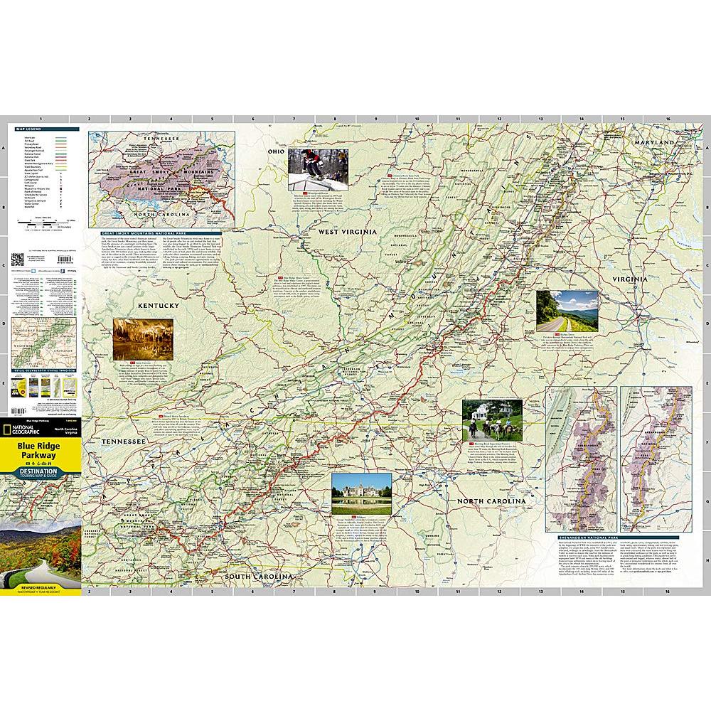
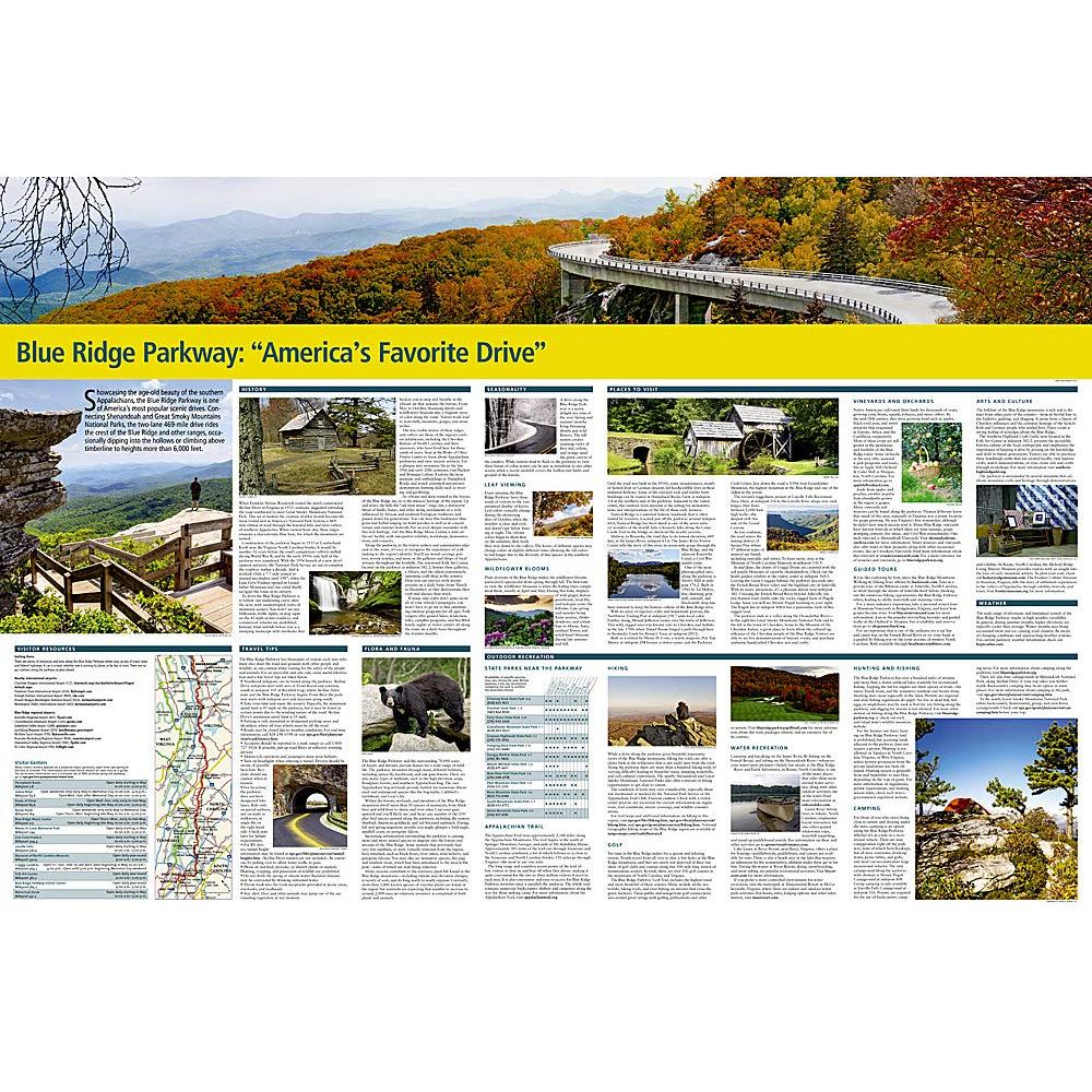
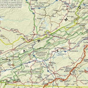
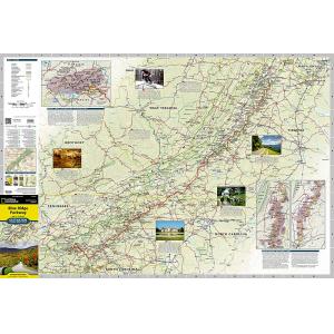
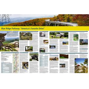
The Blue Ridge Parkway is a winding route that traverses some of America’s most picturesque scenery. The Parkway is America’s most visited National Park unit and when combined with Skyline Drive through Shenandoah National Park, also covered in detail on this map, a travel experience of over almost 600 miles is created. The Blue Ridge Parkway starts in the south at the foot of the Great Smoky Mountains and runs along the Blue Ridge through several National Forests from North Carolina and into Virginia. National Geographic’s Blue Ridge Parkway Destination Map strikes the perfect balance between map and guidebook and is ideal for a wide range of travelers. Destination Maps combine finely detailed maps with fascinating and practical travel information. The front side features a large-scale map of the Blue Ridge Parkway in North Carolina and Virginia and Skyline Drive in Virginia, richly layered with travel information and beautiful photographs showcasing some of many ways travelers can experience the road known as “America’s Favorite Drive”. In addition to the easy-to-read map on the front, the reverse side includes regional descriptions, arts and culture finds, and visitor resources. Explore detailed insets of the Great Smoky and Shenandoah National Parks. Some of the extra features include:
- Charts detailing visitor centers and nearby state parks
- Colorful photographs featuring the region’s enchanting landscape
- History, leaf viewing, wildflowers, wildlife, and places to visit
- Descriptive content highlighting outdoor recreation opportunities, water recreation, camping, hiking, and the Appalachian Trail
Every Destination Map is printed on durable synthetic paper, making them waterproof, tear-resistant and tough — capable of withstanding the rigors of any kind of travel. We love technology and enjoy the convenience of GPS, but you can’t plan a trip on a phone screen and navigation doesn’t work where there’s no cell signal. Start your next trip on the right foot with a high-quality folding travel map. Make the most of your next adventure, even if you lose GPS or cell signals. You’ll always be on the correct route with our folding travel maps. Your adventure starts here!
What is a Destination Map?
These map guides are an ideal resource for touring culturally and geographically unique regions. Destination Maps are printed on waterproof and tear-resistant material and include accurate road networks, historic sites, cultural attractions, terrain, and much more. They’re the perfect maps for becoming a local expert!
About the Author
Founded in 1915 as the Map Department of the National Geographic Society, National Geographic Maps is responsible for illustrating the world around us through the art and science of mapmaking. Today, National Geographic Maps continues this mission by creating the world’s best wall maps, outdoor recreation maps, travel maps, atlases and globes that inspire people to care about and explore their world.
Back-Orders & Out of Stock Items
If the item is currently out of stock it will ship as soon as we can get it. This will be shown in the “Normally Ships in” section above. If the item is on backorder you will recieve an email with updates as we recieve them. Our goal is to get your products to you a quickly as possible!
Returns
We offer free returns within 30 days for this product. Contact us within 30 days of receiving your product to receive a return authorization number, which you can write on the box and ship back to us. We will issue your return within three days of receiving the product back. **We do not refund the initial shipping charges and you’re responsible for shipping charges to get the product back to us unless we made a mistake in the order.
| Publisher | National Geographic |
|---|---|
| Language | English |
| Published | 2015 |
| Print Series | |
| Map Scale | 1 : 800,000 |
Whether you are getting a map as a piece of art or getting something to fit a business need, we can make it. A custom decorative map can tell a story of where you have been or where you want to go. It can be a great gift for someone or a unique piece of art for yourself.
On the business side, we have been making custom maps for companies around the world since 1996. Our customer list includes a wide range of organizations like Hollywood Studios, Homeland Security, Jehovah’s Witnesses, Harris Teeter, and Domino’s Pizza. We provide a wide variety of maps to fit any need your business will need. From territory map to a delivery map and everything in between, we can make it.
To reach out about a custom map, click HERE!

