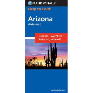
US Folding State Maps
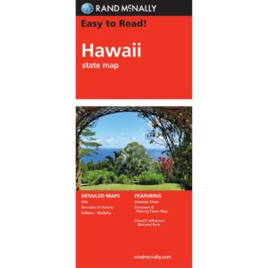
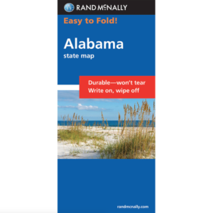
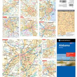
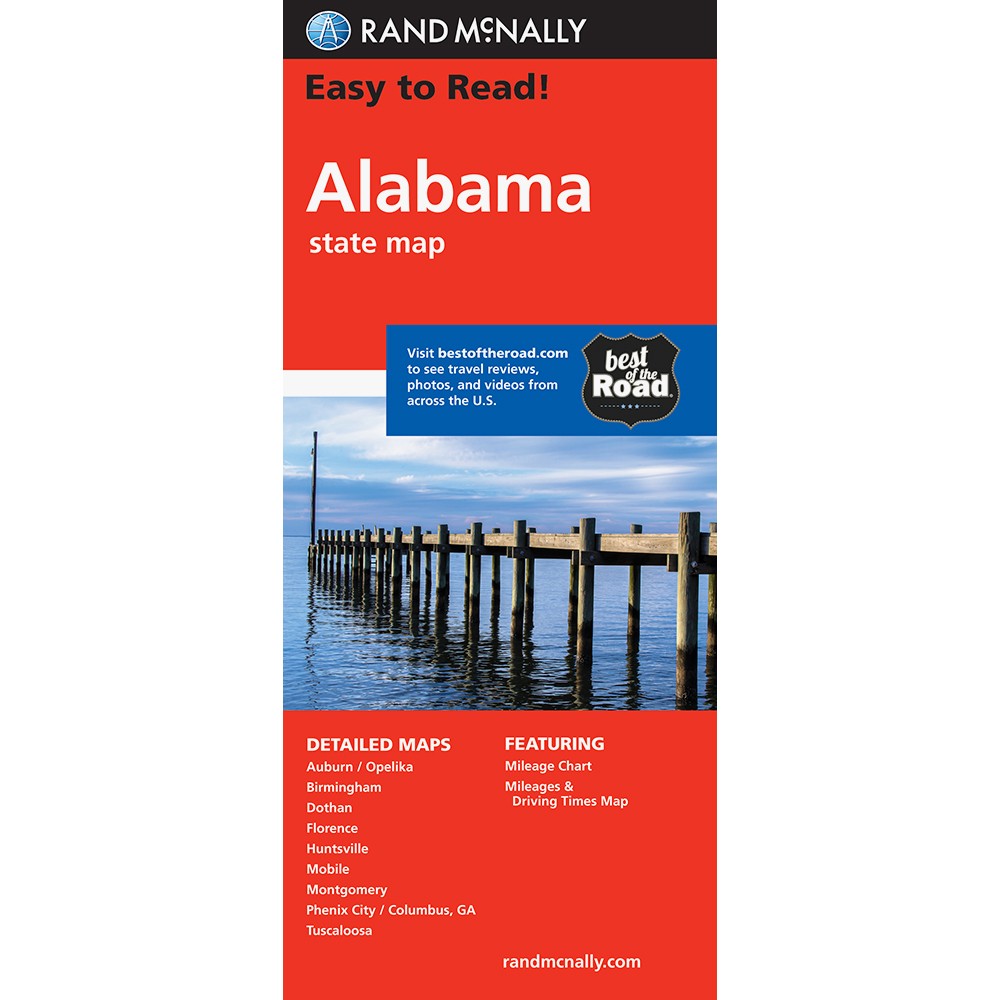
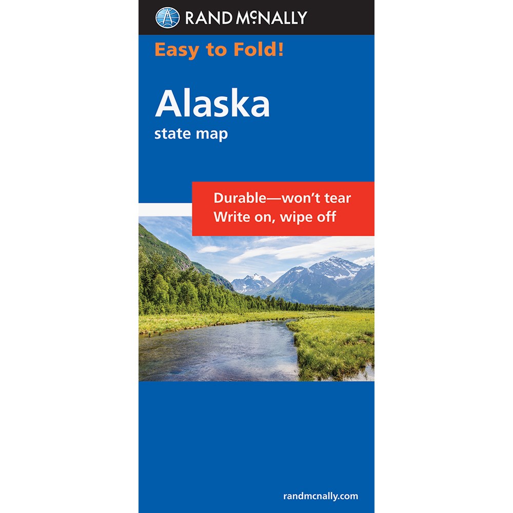
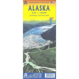
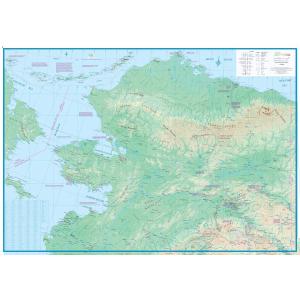
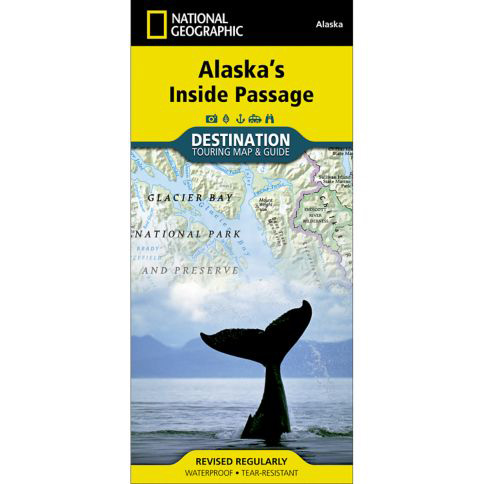
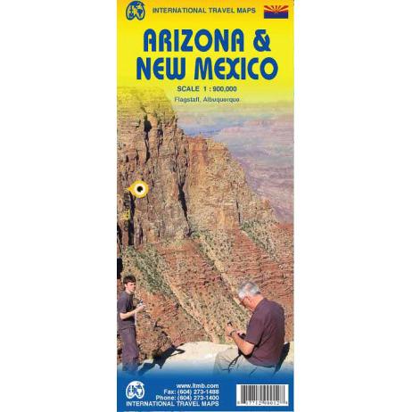
This section contains U.S. folding travel maps that cover each of our 50 states from various well-known publishers like National Geographic and Rand McNally. Most maps have street-level detail with well-labeled points-of-interest. Maps are listed alphabetically below for you to browse or you can use the search at the top-right of the website to find a map for the specific state you’re looking for. We love technology and enjoy the convenience of GPS, but you can’t plan a trip on a phone screen and navigation doesn’t work where there’s no cell signal. Start your next trip on the right foot with a high-quality folding travel map. Make the most of your next adventure, even if you lose GPS or cell signals. You’ll always be on the correct route with our folding travel maps. Your adventure starts here! Please contact us if you need help choosing the perfect map for your travels.
Folding Travel Maps - United States
Folding Travel Maps - United States
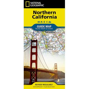
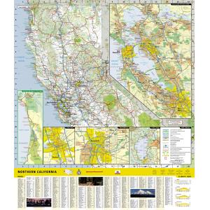
National Geographic – Northern California – Guide Folding Travel Map
Folding Travel Maps - United States
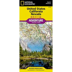
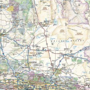
National Geographic – United States – California and Nevada – Adventure Folding Travel Map
Folding Travel Maps - United States
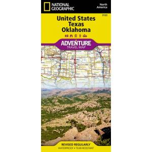
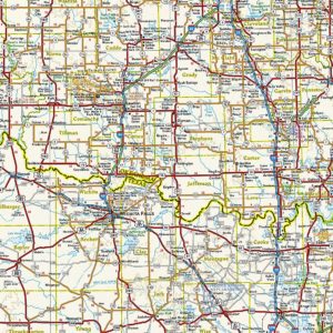
National Geographic – United States – Texas and Oklahoma – Adventure Folding Travel Map
Folding Travel Maps - United States
Outdoor Paths – Waterfalls of Northeast Georgia and Upstate South Carolina
Folding Travel Maps - United States
Folding Travel Maps - United States
Folding Travel Maps - United States
Rand McNally – Connecticut/Rhode Island, Easy to Fold – Folding Travel Map
Folding Travel Maps - United States
Rand McNally – Connecticut/Rhode Island, Easy To Read – Folding Travel Map
Folding Travel Maps - United States
Rand McNally – Delaware/Maryland, Easy to Fold – Folding Travel Map
Folding Travel Maps - United States
Rand McNally – Delaware/Maryland, Easy to Read – Folding Travel Map
Folding Travel Maps - United States
Folding Travel Maps - United States
Folding Travel Maps - United States
Folding Travel Maps - United States
Folding Travel Maps - United States
All Products
All Products

