
Thank you for your service. I was pleased with the results.
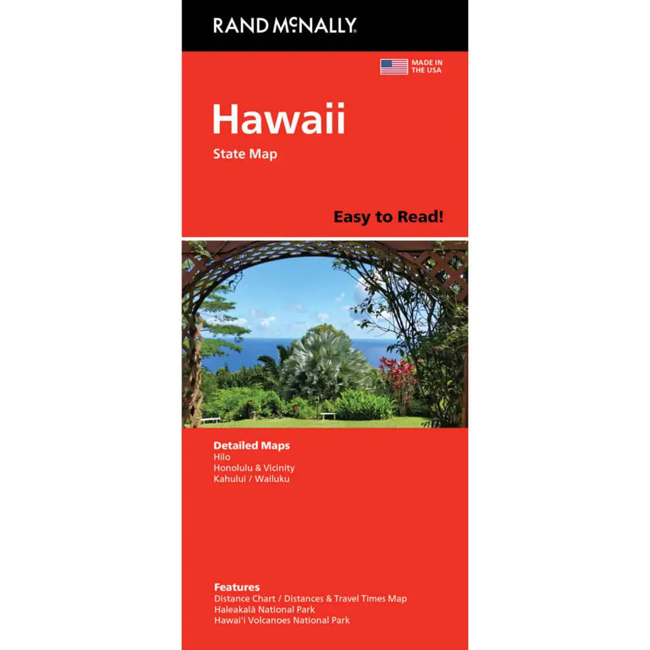
 Rand McNally – Hawaii, Easy to Read – Folding Travel Map


$9.99
The durable and convenient Rand McNally maps will take all the wear and tear your journey can dish out.
Publication: 2022 || Size: 28″ x 40″
In stock
Rand McNally Hawaii Easy to Read Folded Map
A folding travel map of Hawaii printed with bigger type than the standard Rand McNally folded map. Rental car drivers and road trippers can rely on it when cell service fades on remote stretches like the Road to Hana or the Saddle Road.
| Reporting Category | Retail |
|---|---|
| Product Category | Folding Maps |
| Average Cost | 3.5953 |
| Label 0 - Google Product Category | LP – Travel Maps, Atlases & Books |
| Publisher | Rand McNally |
| Days to Ship | 3 |
| Print on Demand | NO |
| Size | 28" x 40" |
| Published | 2021 |
| Map Type | Folding Map |
Thank you for your service. I was pleased with the results.
Rand McNally – Hawaii, Easy to Read – Folding Travel Map
It’s a great map! I love paper maps!
Rand McNally – Hawaii, Easy to Read – Folding Travel Map
You get a 5-star rating! ⭐⭐⭐⭐⭐ I recently requested a Hwy/road map from you for the island of Hawaii. I received it in my mailbox within a few days. It was exactly what I wanted!!! A good ‘old-fashion’ highway map! I like to see the big picture, not look at a 3”x5” screen view of an entire state. I appreciate your staff’s promptness and kindness in processing and shipping the order out right away. Thank you for your help. I will definitely reach out to you again, should I need another map. I will also recommend your Map Shop to others who may need it!
Rand McNally – Hawaii, Easy to Read – Folding Travel Map
Dear Map Shop Team:
My beautiful Hawai’i State Map arrived quite expediently via today’s post. It’s absolutely perfect for my research project. I must tell you that, as a speaker of our native Hawaiian language, it is wonderfully refreshing to see the modern, academically-standardized spellings of Hawaiian place names increasingly more in global usage. Thank you very much for offering this superb quality Rand McNally map in your shop!
Rand McNally – Hawaii, Easy to Read – Folding Travel Map