Minnesota Maps
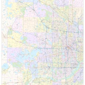
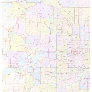
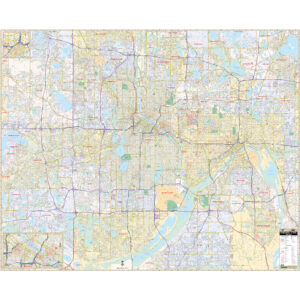
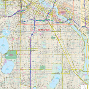
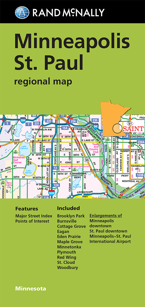
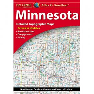
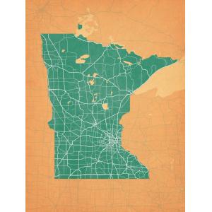
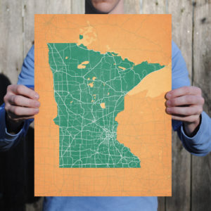
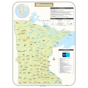
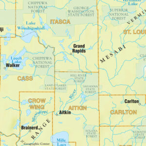
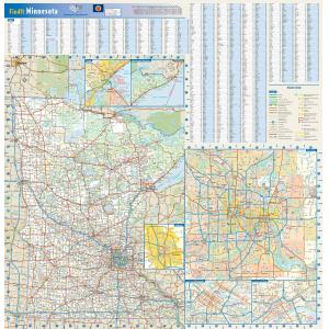
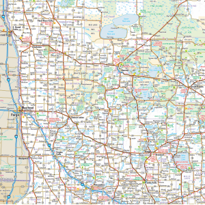
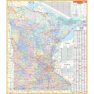
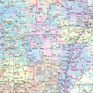
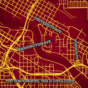
Minnesota is the 12th largest in area and the 21st most populous of the U.S. States; nearly 60 percent of its residents live in the Minneapolis–Saint Paul metropolitan area (known as the “Twin Cities”), the center of transportation, business, industry, education, and government and home to an internationally known arts community. The remainder of the state consists of western prairies now given over to intensive agriculture; deciduous forests in the southeast, now partially cleared, farmed and settled; and the less populated North Woods, used for mining, forestry, and recreation. This page may not include all the maps we carry for the state of Minnesota but these are some of the more popular maps. Please click here to search for the city or region that’s most important to you.
Maps by State
Maps by State
All Products
City Prints Maps
City Prints Maps
City Prints Maps
All Products
All Products
All Products
All Products
All Products
College Campus Maps

