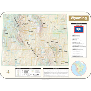
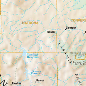
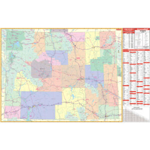
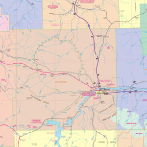
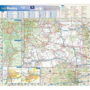
Wyoming Maps
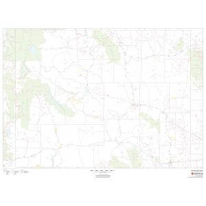
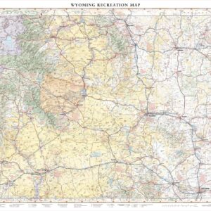
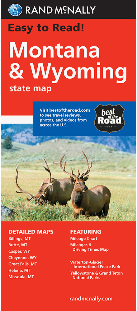
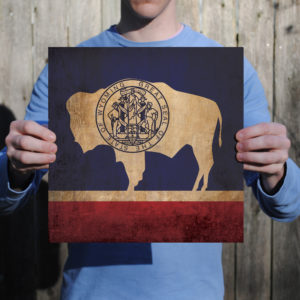
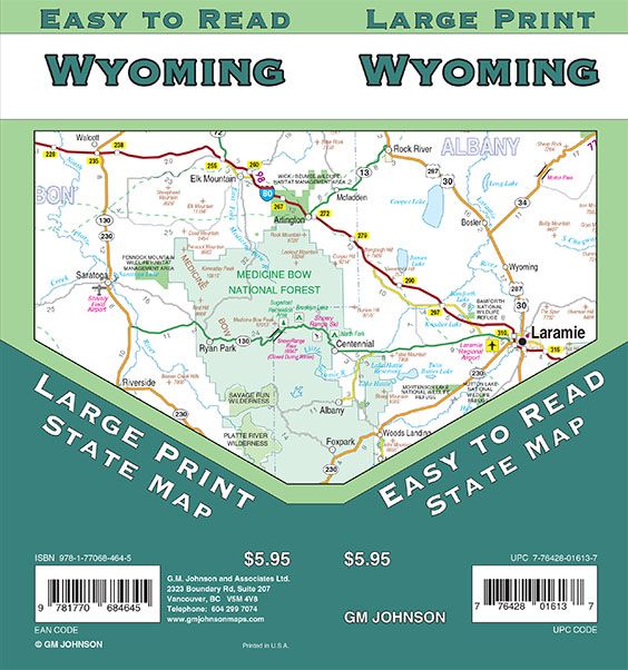
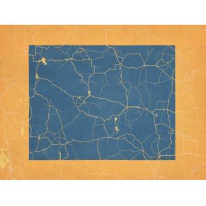
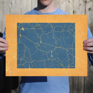
Wyoming is the 10th most extensive, but the least populous and the second least densely populated of the 50 United States. The western two-thirds of the state is covered mostly with the mountain ranges and rangelands in the foothills of the eastern Rocky Mountains, while the eastern third of the state is high elevation prairie known as the High Plains. Cheyenne is the capital and the most populous city in Wyoming, with a population estimate of 62,448 in 2013. This page may not include all the maps we carry for the state of Wyoming but these are some of the more popular maps. Please click here to search for the city or region that’s most important to you.
All Products
Maps by State
City Prints Maps
All Products
City Prints Maps
All Products
All Products
All Products
All Products
All Products

