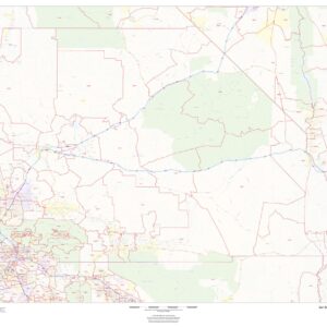
California Maps
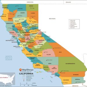
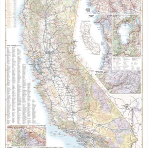
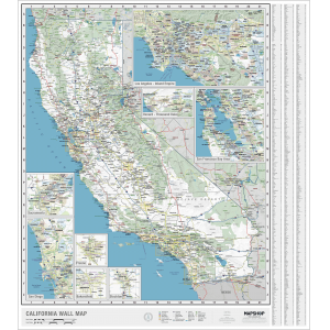
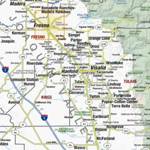
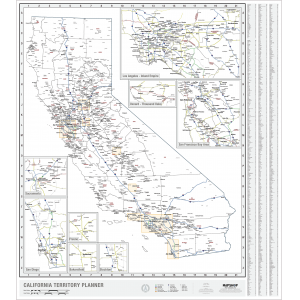
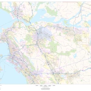
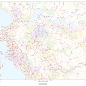
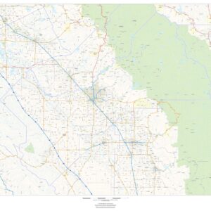
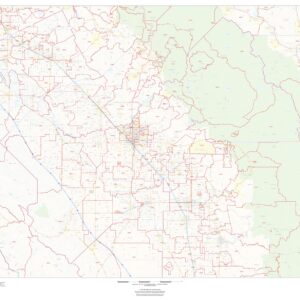
California was first settled by various Native American tribes before being explored by a number of European expeditions during the 16th and 17th centuries. It was then claimed by the Spanish Empire as part of Alta California in the larger territory of New Spain. This page may not include all the maps we carry for the state of California but these are some of the more popular maps. Please click here to search for the city or region that’s most important to you.
California Maps
California Maps
California Maps
All Products
All Products
California Maps
All Products
California Maps
California Maps
California Maps
California Maps
California Maps
California Maps
California Maps
California Maps
Folding Travel Maps - United States
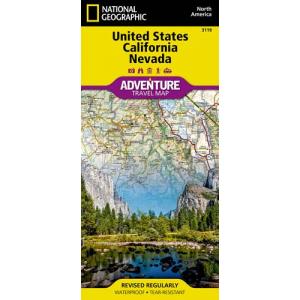
National Geographic – United States – California and Nevada – Adventure Folding Travel Map
California Maps
California Maps
California Maps
California Maps
California Maps
California Maps
California Maps

