Vermont Maps
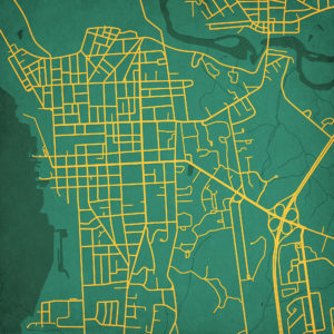
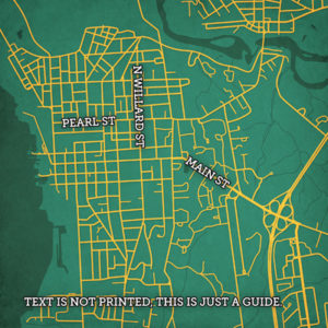
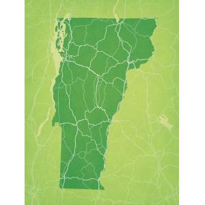
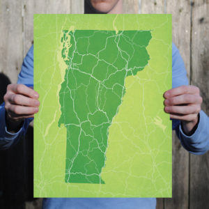
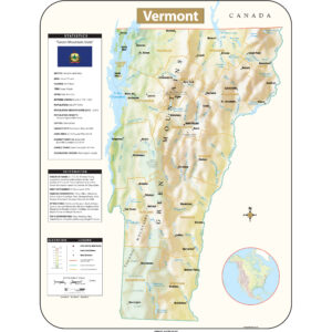
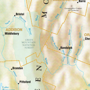
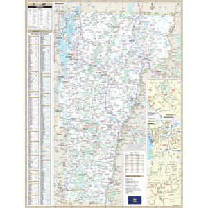
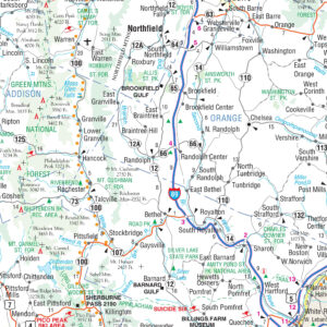
Lake Champlain forms half of Vermont’s western border, which it shares with the state of New York. The Green Mountains are within the state. Vermont is bordered by Massachusetts to the south, New Hampshire to the east across the Connecticut River, New York to the west, and the Canadian province of Quebec to the north. The state capital is Montpelier with a population of 7,855, making it the least populous state capital in the country. This page may not include all the maps we carry for the state of Vermont but these are some of the more popular maps. Please click here to search for the city or region that’s most important to you.
College Campus Maps
All Products
All Products
All Products

