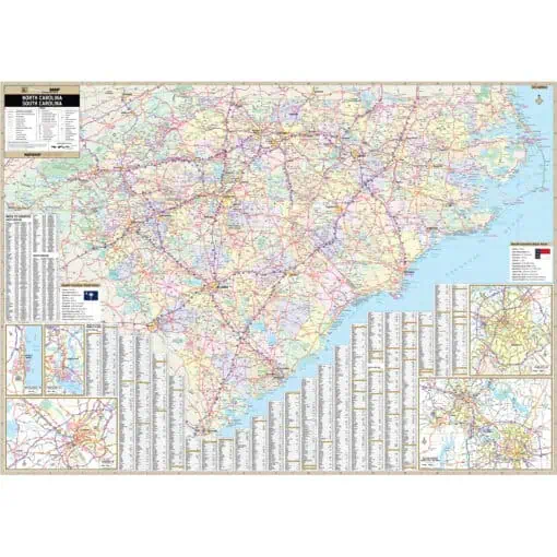
The Province of South Carolina became a slave society after rice and indigo became established as commodity crops. From 1708, a majority of the population were slaves, many born in Africa. It was the first of the 13 colonies that declared independence from the British Crown in the American Revolution. This page may not include all the maps we carry for the state of South Carolina but these are some of the more popular maps. Please click here to search for the city or region that’s most important to you.

Price range: $34.99 through $334.99

Price range: $34.99 through $334.99

Price range: $109.99 through $284.99

Price range: $34.99 through $324.99

Price range: $59.99 through $804.99

Price range: $34.99 through $589.99

Price range: $54.99 through $539.99

Price range: $34.99 through $539.99

Price range: $39.99 through $304.99

Price range: $44.99 through $309.99

Price range: $44.99 through $309.99
Price range: $139.99 through $1,339.99

Price range: $54.99 through $759.99

Price range: $74.99 through $1,039.99

Price range: $54.99 through $759.99

Price range: $89.99 through $1,309.99

Price range: $109.99 through $1,269.99

Price range: $139.99 through $279.99

Price range: $149.99 through $309.99

Price range: $149.99 through $289.99

Price range: $149.99 through $289.99

Price range: $149.99 through $299.99

Price range: $139.99 through $269.99

Price range: $149.99 through $279.99