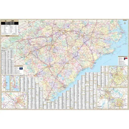
North Carolina is composed of 100 counties. North Carolina’s two largest metropolitan areas are among the top ten fastest-growing in the country: its capital, Raleigh, and its largest city, Charlotte. In the past five decades, North Carolina’s economy has undergone a transition from reliance upon tobacco, textiles, and furniture-making to a more diversified economy with engineering, energy, biotechnology, and finance sectors. This page may not include all the maps we carry for the state of North Carolina but these are some of the more popular maps. Please click here to search for the city or region that’s most important to you.

Price range: $34.99 through $334.99

Price range: $34.99 through $334.99

Price range: $109.99 through $284.99

Price range: $34.99 through $324.99

Price range: $54.99 through $589.99

Price range: $59.99 through $804.99

Price range: $34.99 through $589.99

Price range: $54.99 through $539.99

Price range: $34.99 through $289.99

Price range: $39.99 through $319.99

Price range: $34.99 through $289.99

Price range: $34.99 through $539.99

Price range: $34.99 through $249.99

Price range: $39.99 through $319.99

Price range: $54.99 through $559.99
Price range: $139.99 through $1,339.99

Price range: $39.99 through $814.99

Price range: $54.99 through $809.99

Price range: $34.99 through $809.99

Price range: $79.99 through $1,079.99

Price range: $49.99 through $809.99

Price range: $139.99 through $589.99

Price range: $139.99 through $589.99

Price range: $89.99 through $1,309.99