
The map is excellent! Came timely and was just what we needed. Thank you!
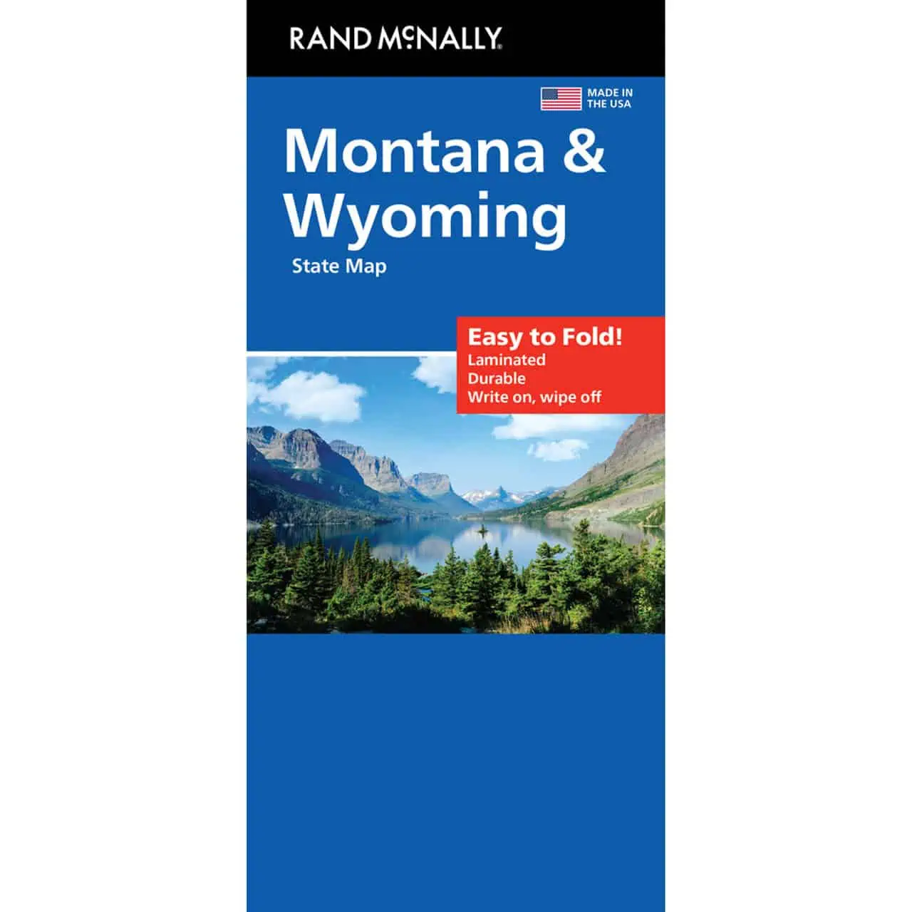
 Rand McNally – Montana/Wyoming, Easy to Fold – Folding Travel Map



$10.99
The durable and convenient Rand McNally maps will take all the wear and tear your journey can dish out.
In stock
Montana Wyoming Easy to Fold Map
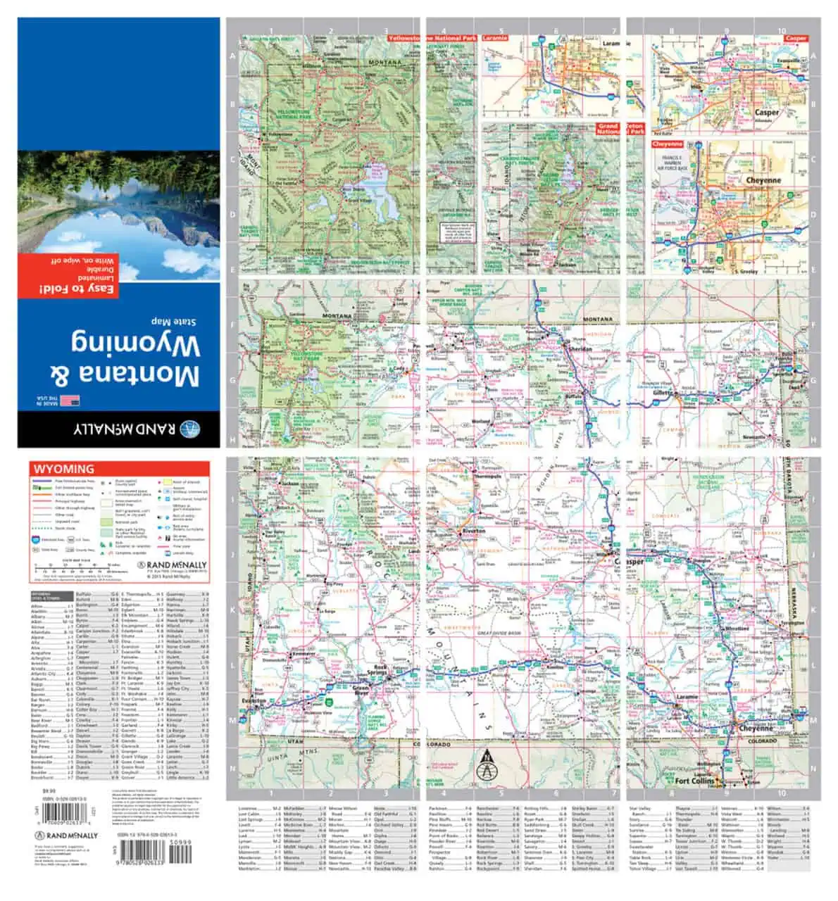
A Rand McNally Easy to Fold map covering both Montana and Wyoming on one sheet. The folding design lets you work one panel at a time instead of wrestling the whole sheet open.
Cell coverage drops out on long stretches of the Hi-Line and across Wyoming’s Red Desert. A paper map keeps working there. Map Shop stocks this map for drivers, road trippers, hikers heading for the Beartooths, and travelers driving between the parks.
| Reporting Category | Retail |
|---|---|
| Product Category | Folding Maps |
| Average Cost | 4.495 |
| Label 0 - Google Product Category | LP – Travel Maps, Atlases & Books |
| Publisher | Rand McNally |
| Days to Ship | 3 |
| Print on Demand | NO |
| Size | 18" x 17" |
| Published | 2023 |
| Map Type | Folding Map |
The map is excellent! Came timely and was just what we needed. Thank you!
Rand McNally – Montana/Wyoming, Easy to Fold – Folding Travel Map
Excellent on any level. A totally quality product!
Rand McNally – Montana/Wyoming, Easy to Fold – Folding Travel Map