
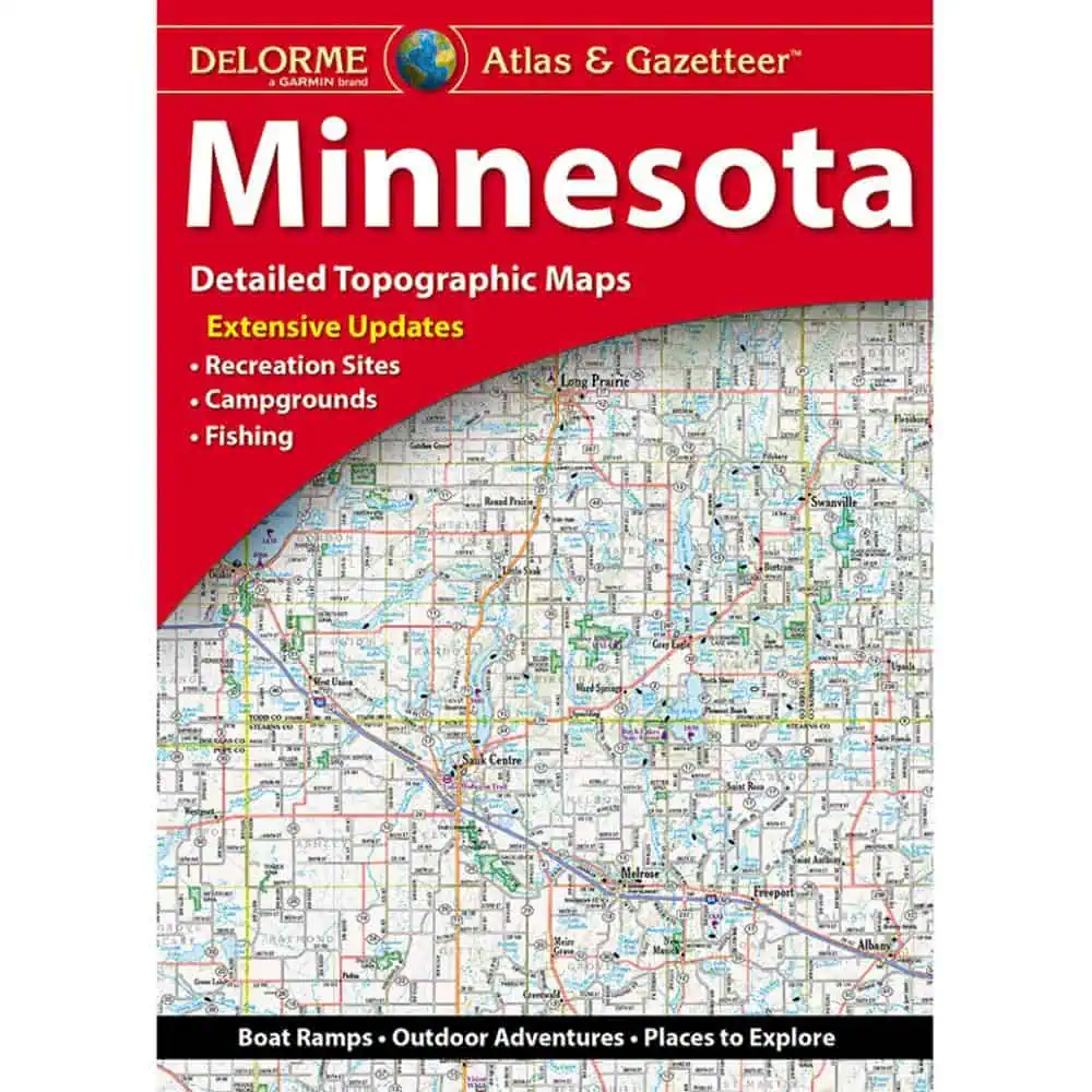
Minnesota Atlas & Gazetteer by DeLorme
$29.95
With an incredible wealth of detail, DeLorme’s Atlas & Gazetteer is the perfect companion for exploring the outdoors.
In stock
Normally ships in: 2-3 days.
$29.95
Minnesota Atlas & Gazetteer
The Minnesota Atlas & Gazetteer from Map Shop covers the whole state in full-color topographic detail, from the Boundary Waters canoe routes down to the bluff country along the Mississippi. Anglers, grouse hunters, and road trippers keep a copy in the truck for a reason: the backroads are all there.
| Map Scale | No Scale |
|---|---|
| Publisher | Delorme |
| Language | English |
| Published | 2019 |