Paper
Wall Maps

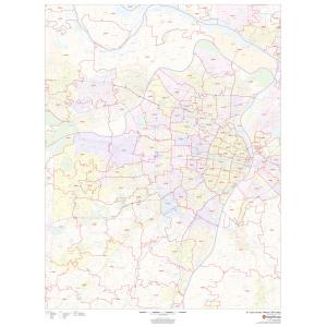
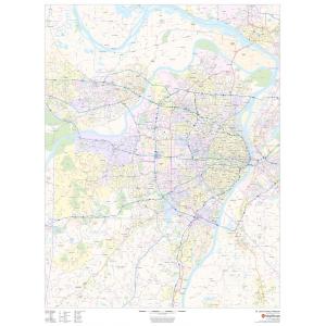
Lake Maps
Lake Maps
All Products
All Products

Africa Continent Wall Maps
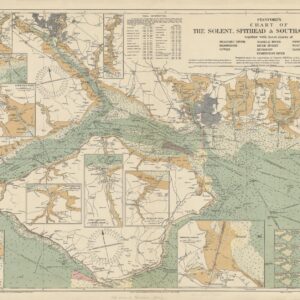
Historical World Maps
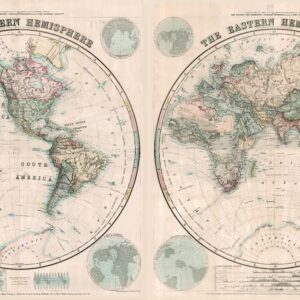
Stanford’s Eastern and Western Hemispheres Map (1877) – Resized to 2A0 height by Stanfords

Historical World Maps
Stanford’s Eastern Hemisphere Map (1877) – Resized to 2A0 width by Stanfords
Wall Maps
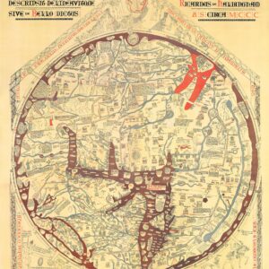
Stanford’s Facsimile of the Hereford Mappa Mundi (1869) – Resized to 2A0 width by Stanfords
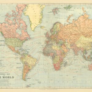
Historical World Maps
Stanford’s General Map of the World (1920) Blue Version by Stanfords
Historical World Maps
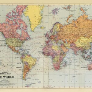
Historical World Maps
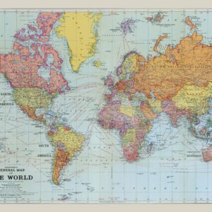
Stanford’s General Map of the World on Mercator’s Projection (1922) by Stanfords
Wall Maps
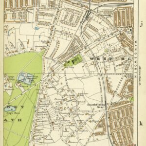
Stanford’s Indexed Atlas of the County of London, Sheet 58, Putney & Southfields (1911) by Stanfords
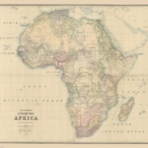
Africa Continent Wall Maps
Wall Maps
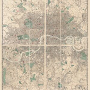
Stanford’s Library Map of London and its Suburbs (1878) – Resized to 2A0 width by Stanfords