

Wisconsin Maps
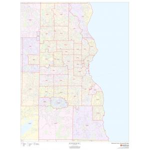
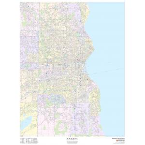
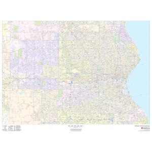
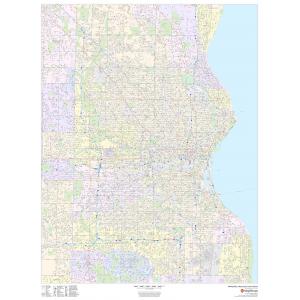
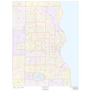
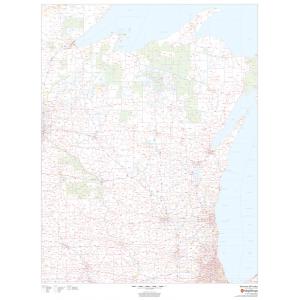
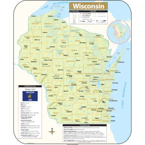
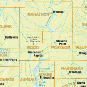
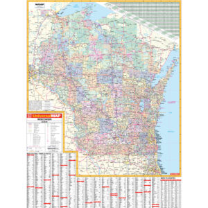
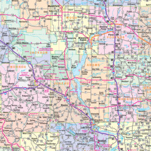
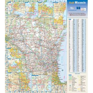
Wisconsin’s geography is diverse, with the Northern Highland and Western Upland along with a part of the Central Plain occupying the western part of the state and lowlands stretching to the shore of Lake Michigan. Wisconsin is second to Michigan in the length of its Great Lakes coastline. This page may not include all the maps we carry for the state of Wisconsin but these are some of the more popular maps. Please click here to search for the city or region that’s most important to you.
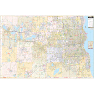
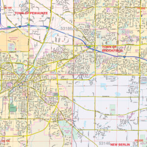
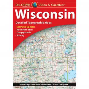
All Products
All Products
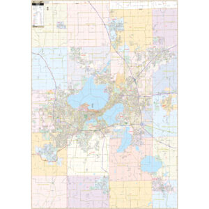
All Products
All Products
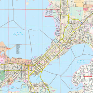
All Products
All Products
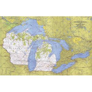
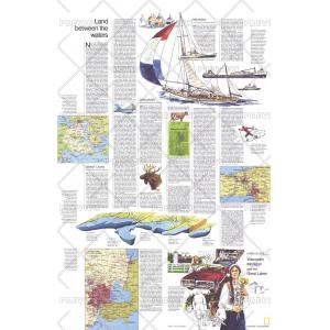
Close-up USA, Wisconsin, Michigan, and the Great Lakes – Published 1973 by National Geographic


City Prints Maps
All Products
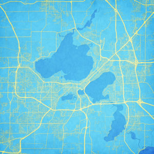
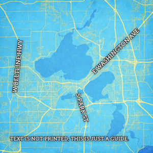
City Prints Maps
All Products

All Products
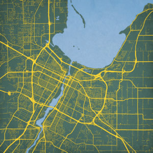
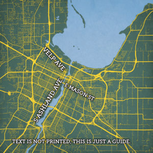
City Prints Maps
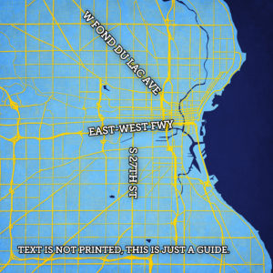
City Prints Maps

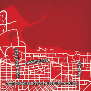
College Campus Maps
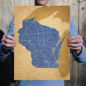
University of Wisconsin, Madison Campus Map Art by City Prints
All Products


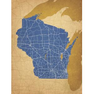
All Products
All Products
All Products
All Products
