

Rand McNally – Washington DC – Folding Travel Map
$8.99
Published: 2021
The durable and convenient Rand McNally maps will take all the wear and tear your journey can dish out.
Publication: 2021 || Size: 40″ x 28″
In stock
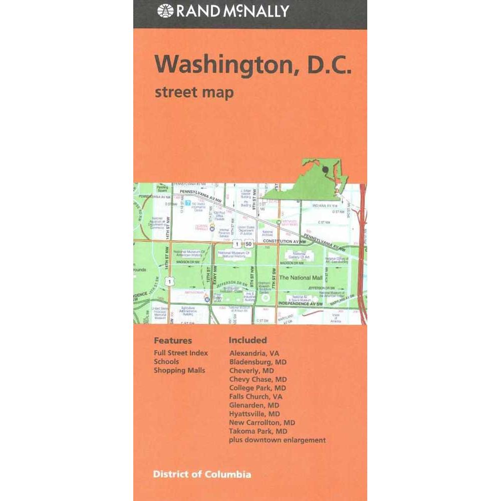
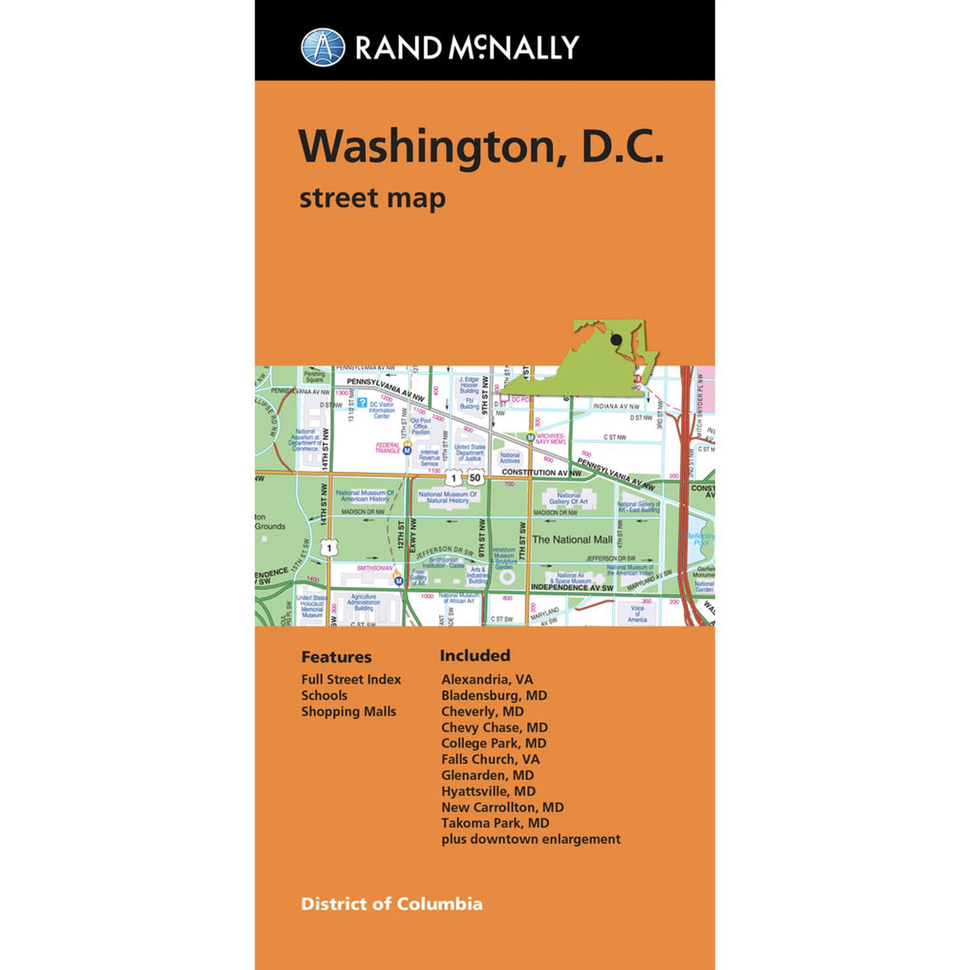
Rand McNally’s folded map for Washington, D.C. is a must-have for anyone traveling in and around this part of District of Columbia, offering unbeatable accuracy and reliability at a great price. Our trusted cartography shows all Interstate, U.S., state, and county highways, along with clearly indicated parks, points of interest, airports, county boundaries, and streets. The easy-to-use legend and detailed index make for quick and easy location of destinations. You’ll see why Rand McNally folded maps have been the trusted standard for years.
- Regularly updated
- Full-color maps
- Clearly labeled Interstate, U.S., state, and county highways
- Indications of parks, points of interest, airports, county boundaries, schools, shopping malls, downtown and vicinity maps
- Easy-to-use legend
- Detailed and full street index
- Convenient folded size
We love technology and enjoy the convenience of GPS, but you can’t plan a trip on a phone screen and navigation doesn’t work where there’s no cell signal. Start your next trip on the right foot with a high-quality folding travel map. Make the most of your next adventure, even if you lose GPS or cell signals. You’ll always be on the correct route with our folding travel maps. Your adventure starts here!
Coverage Includes
Alexandria, Va Bladensburg, Md Cheverly, Md Chevy Chase, Md College Park, Md Falls Church, Va Glenarden, Md Hyattsville, Md New Carrollton, Md Takoma Park, Md plus downtown enlargement
About the Author
With the iconic Road Atlas leading the way, Rand McNally products have helped travelers make the most of their road trips for more than 100 years. Our line of atlases, maps, activity books, and other fine publications are developed to inspire an interest in the world and enrich life’s journey.
Back-Orders & Out of Stock Items
If the item is currently out of stock it will ship as soon as we can get it. This will be shown in the “Normally Ships in” section above. If the item is on backorder you will recieve an email with updates as we recieve them. Our goal is to get your products to you a quickly as possible!
Returns
We offer free returns within 30 days for this product. Contact us within 30 days of receiving your product to receive a return authorization number, which you can write on the box and ship back to us. We will issue your return within three days of receiving the product back. **We do not refund the initial shipping charges and you’re responsible for shipping charges to get the product back to us unless we made a mistake in the order.
| Publisher | Rand McNally |
|---|---|
| Language | English |
| Published | 2021 |
Whether you are getting a map as a piece of art or getting something to fit a business need, we can make it. A custom decorative map can tell a story of where you have been or where you want to go. It can be a great gift for someone or a unique piece of art for yourself.
On the business side, we have been making custom maps for companies around the world since 1996. Our customer list includes a wide range of organizations like Hollywood Studios, Homeland Security, Jehovah’s Witnesses, Harris Teeter, and Domino’s Pizza. We provide a wide variety of maps to fit any need your business will need. From territory map to a delivery map and everything in between, we can make it.
To reach out about a custom map, click HERE!
