

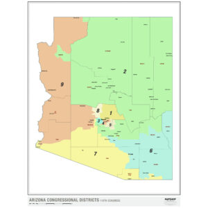
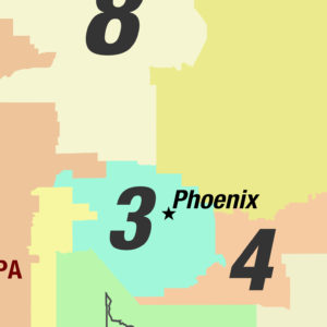
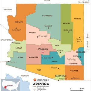
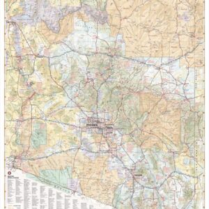
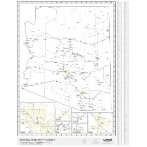
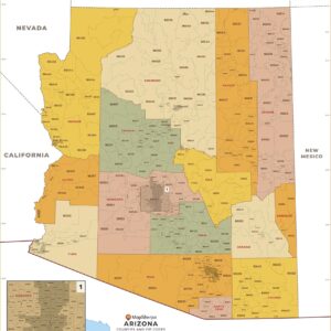
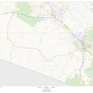
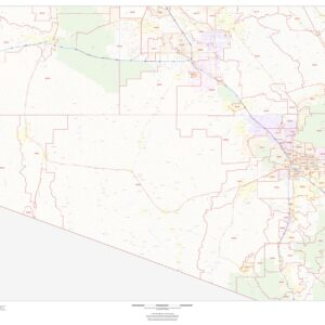
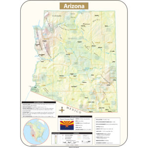
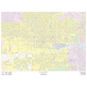
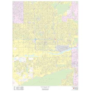
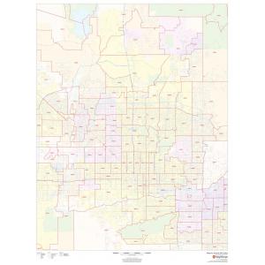
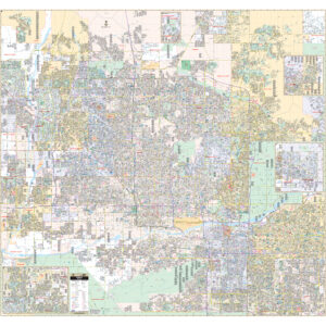
Arizona Maps
Arizona is the 48th state and last of the contiguous states to be admitted to the Union, achieving statehood on February 14, 1912. It was previously part of the territory of Alta California in New Spain before being passed down to independent Mexico and later ceded to the United States after the Mexican–American War. This page may not include all the maps we carry for the state of Arizona but these are some of the more popular maps. Please click here to search for the city or region that’s most important to you.
Arizona Maps
Arizona Maps

All Products
Arizona Maps
Arizona Maps
Arizona Maps

All Products


City Prints Maps


All Products
All Products


College Campus Maps
All Products


All Products
All Products
All Products


City Prints Maps


U.S. City Maps

All Products
All Products


All Products
All Products
