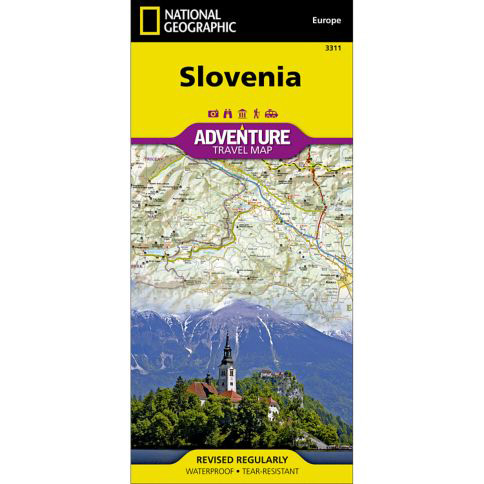

National Geographic – Slovenia – Adventure Folding Travel Map
$14.95
National Geographic’s Slovenia Adventure Map is designed to meet the unique needs of adventure travelers with its detailed and accurate information.
Publication: 2019 || Size: 25.5″ x 37.75″
In stock
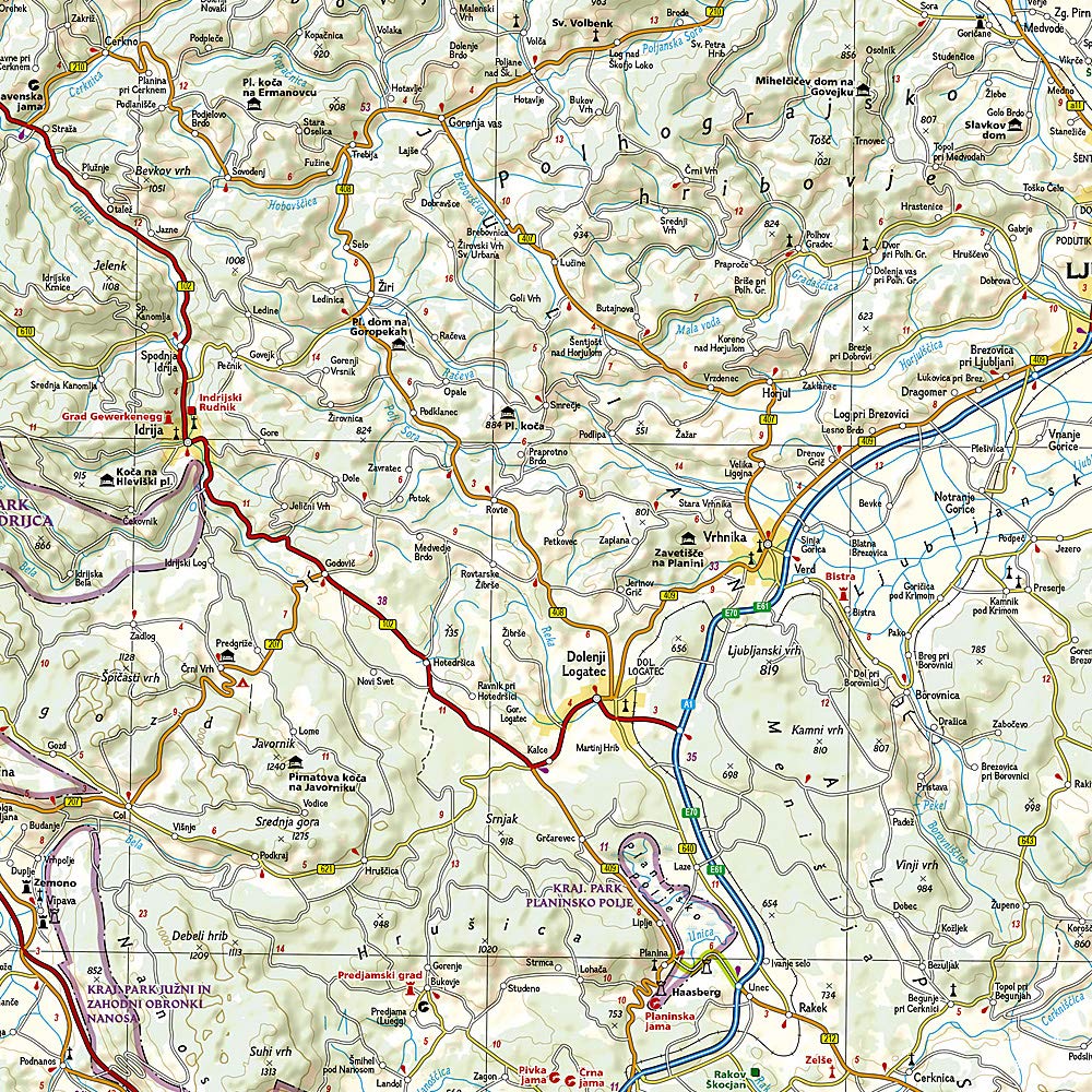
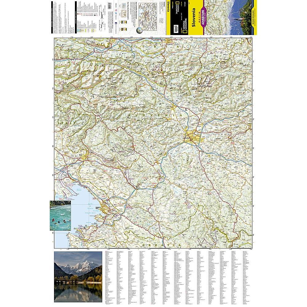
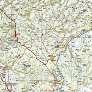
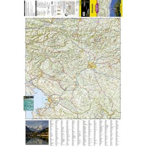
National Geographic’s Slovenia Adventure Map is designed to meet the unique needs of adventure travelers with its detailed and accurate information. This map includes thousands of cities and towns with an index for easily locating them, plus a clearly marked road network complete with distances and designations for highways, major roadways, scenic routes, and more. Transportation within and beyond the country is also made easier with the locations of airports, airfields, railroads, ferry routes, and border crossings. Myriad points of interest are noted including national parks, museums, castles, archeological sites, churches, and more. Slovenia’s western half is shown on the front side of the print map including the cities of Kranj, Ljubljana, Nova Gorica, Postojna, Litija, and Kocevj.
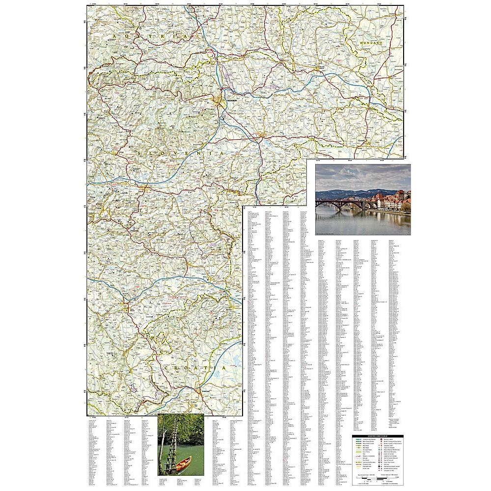
The reverse side of the map covers the eastern portion of the country, and shows the cities of Velenje, Celje, Novo Mesto, Crnomelj, Maribor, Murska Sobota, Ptuj, Slovenska Bistrica, and Brezice. Once a founding member of the Socialist Federal Republic of Yugoslavia, Slovenia declared its full sovereignty in 1991 and is now the richest Slavic nation in the European Union. It is the third most forested country in Europe and over a third of the area is protected. Its picturesque mountain ranges are popular with hikers and skiers while some of its most unique attractions include over 9,000 karst caves, thermal spas, the world’s oldest grapevine, and a large number of casinos. One of the most biodiverse countries in the world, Slovenia offers travelers a wonderful opportunity to enjoy breathtaking natural wonders and a wide variety of diverse experiences in a relatively small region. Every Adventure Map is printed on durable synthetic paper, making them waterproof, tear-resistant and tough — capable of withstanding the rigors of international travel.
We love technology and enjoy the convenience of GPS, but you can’t plan a trip on a phone screen and navigation doesn’t work where there’s no cell signal. Start your next trip on the right foot with a high-quality folding travel map. Make the most of your next adventure, even if you lose GPS or cell signals. You’ll always be on the correct route with our folding travel maps. Your adventure starts here!
What is an Adventure Map?
Adventure Maps are the most authoritative maps for touring international destinations. Each waterproof and tear-resistant map provides travelers with the perfect combination of detail and perspective, highlighting points of interest for those venturing outside city centers. From the plains of France to the top of Mt. Everest these maps cover the hottest adventure destinations.
About the Author
Founded in 1915 as the Map Department of the National Geographic Society, National Geographic Maps is responsible for illustrating the world around us through the art and science of mapmaking. Today, National Geographic Maps continues this mission by creating the world’s best wall maps, outdoor recreation maps, travel maps, atlases and globes that inspire people to care about and explore their world.
Back-Orders & Out-of-Stock Items
If an item is out of stock, it will ship as soon as it becomes available. The expected timeframe is shown in the “Normally Ships in” section below the Add to Cart button. If your order is on backorder, you will receive email updates as we get more information. Our goal is always to deliver your products as quickly as possible.
Returns
We accept free returns within 30 days of delivery. To start a return, please contact us within 30 days to receive a return authorization number. Once we receive the return, we will issue your refund within three business days. Please note: original shipping charges are non-refundable and return shipping costs are your responsibility unless the error was ours.
Returns are not accepted on clearance items. All clearance sales are final.
| Publisher | National Geographic |
|---|---|
| Language | English |
| Print Series | |
| Published | 2019 |