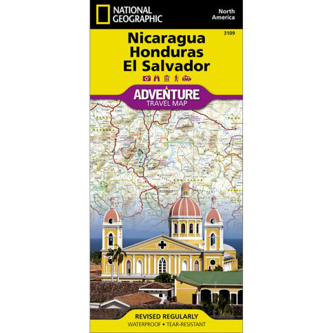

National Geographic – Nicaragua, Honduras, and El Salvador – Adventure Folding Travel Map
$14.95
Explore the heart of Central America with National Geographic’s Nicaragua, Honduras, and El Salvador Adventure Map. Hundreds of points of interest are highlighted including national parks and reserves, World Heritage sites, archeological sites, churches, shipwrecks, castles, and more.
Publication: 2019 || Size: 37.75″ x 25.5″
In stock
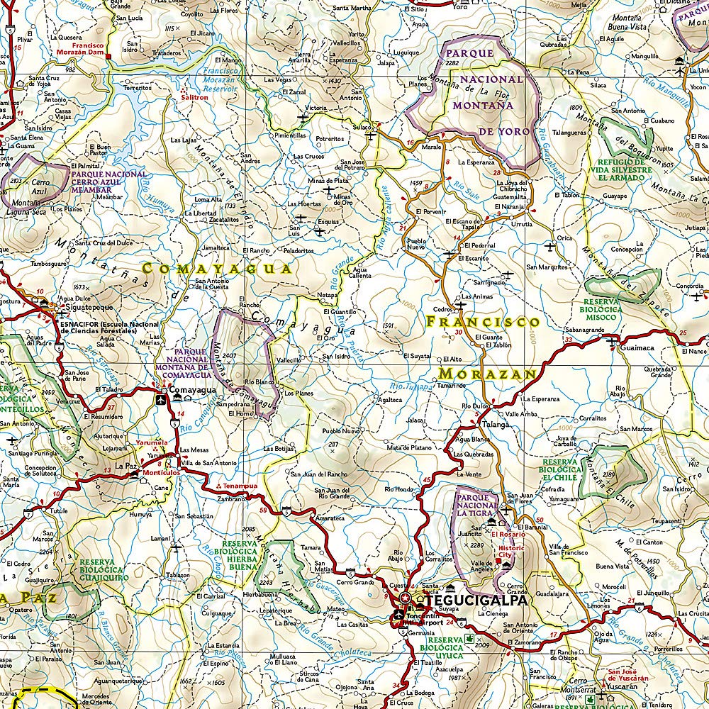
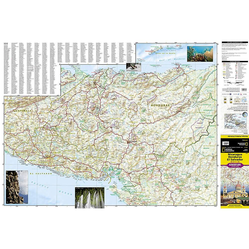
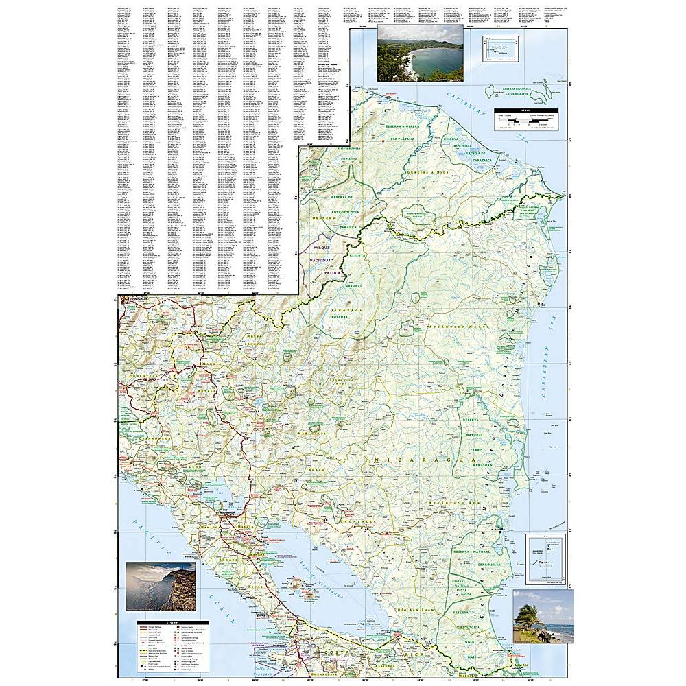
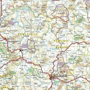
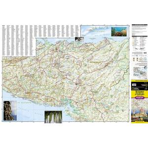
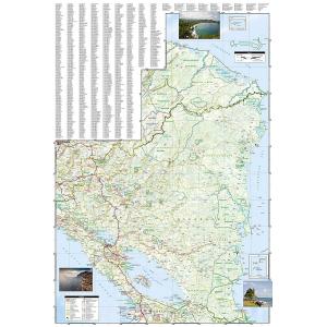
Explore the heart of Central America with National Geographic’s Nicaragua, Honduras, and El Salvador Adventure Map. Hundreds of points of interest are highlighted including national parks and reserves, World Heritage sites, archeological sites, churches, shipwrecks, castles, and more. This map includes the locations of thousands of towns and villages along with a user-friendly index, plus a clearly marked road network complete with distances and designations for highways, roads, and other routes. The front side of the print map includes Honduras and El Salvador, two countries whose coastlines offer wonderful opportunities to surf, scuba dive, snorkel, or just soak up the sun. Sites for these activities and more are noted, as are hotels, lodges, and resorts. Nicaragua covers the back side of the map, and its detail includes diverse points of interest from museums and historical sites in Managua and Granada to areas noted for windsurfing, fishing, and observing the country’s unique wildlife. A hot spot for ecotourism, this region boasts tropical rainforests, white-sand beaches, colorful wildlife, and stunning barrier reefs for outdoor enthusiasts to enjoy. The ancient and colonial history of these countries offer additional attractions from the impressive ancient Maya ruins of Copan in Honduras to the rich architecture of Granada, Nicaragua. As the smallest and most densely populated country in Central America, El Salvador offers a rich nightlife in addition to its beaches along the Costa del Sol. Every Adventure Map is printed on durable synthetic paper, making them waterproof, tear-resistant and tough — capable of withstanding the rigors of international travel. We love technology and enjoy the convenience of GPS, but you can’t plan a trip on a phone screen and navigation doesn’t work where there’s no cell signal. Start your next trip on the right foot with a high-quality folding travel map. Make the most of your next adventure, even if you lose GPS or cell signals. You’ll always be on the correct route with our folding travel maps. Your adventure starts here!
What is an Adventure Map?
Adventure Maps are the most authoritative maps for touring international destinations. Each waterproof and tear-resistant map provides travelers with the perfect combination of detail and perspective, highlighting points of interest for those venturing outside city centers. From the plains of France to the top of Mt. Everest these maps cover the hottest adventure destinations.
About the Author
Founded in 1915 as the Map Department of the National Geographic Society, National Geographic Maps is responsible for illustrating the world around us through the art and science of mapmaking. Today, National Geographic Maps continues this mission by creating the world’s best wall maps, outdoor recreation maps, travel maps, atlases and globes that inspire people to care about and explore their world.
Back-Orders & Out-of-Stock Items
If an item is out of stock, it will ship as soon as it becomes available. The expected timeframe is shown in the “Normally Ships in” section below the Add to Cart button. If your order is on backorder, you will receive email updates as we get more information. Our goal is always to deliver your products as quickly as possible.
Returns
We accept free returns within 30 days of delivery. To start a return, please contact us within 30 days to receive a return authorization number. Once we receive the return, we will issue your refund within three business days. Please note: original shipping charges are non-refundable and return shipping costs are your responsibility unless the error was ours.
Returns are not accepted on clearance items. All clearance sales are final.
| Publisher | National Geographic |
|---|---|
| Language | English |
| Print Series | |
| Published | 2019 |