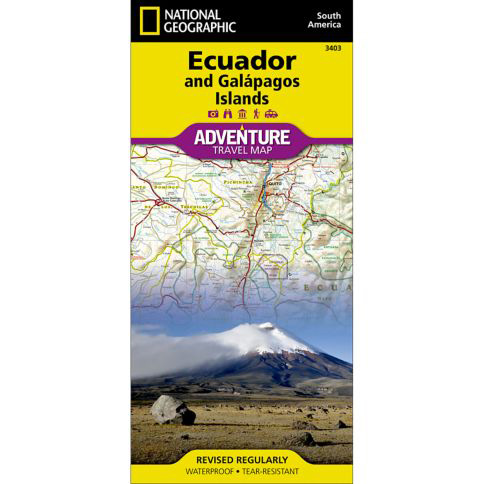


National Geographic – Ecuador and Galapagos Islands – Adventure Folding Travel Map
$14.95
National Geographic’s Ecuador and Galapagos Islands Adventure Map, with its comprehensive information, is uniquely designed for adventure travelers.
Publication: 2019 || Size: 37.75″ x 25.5″
In stock
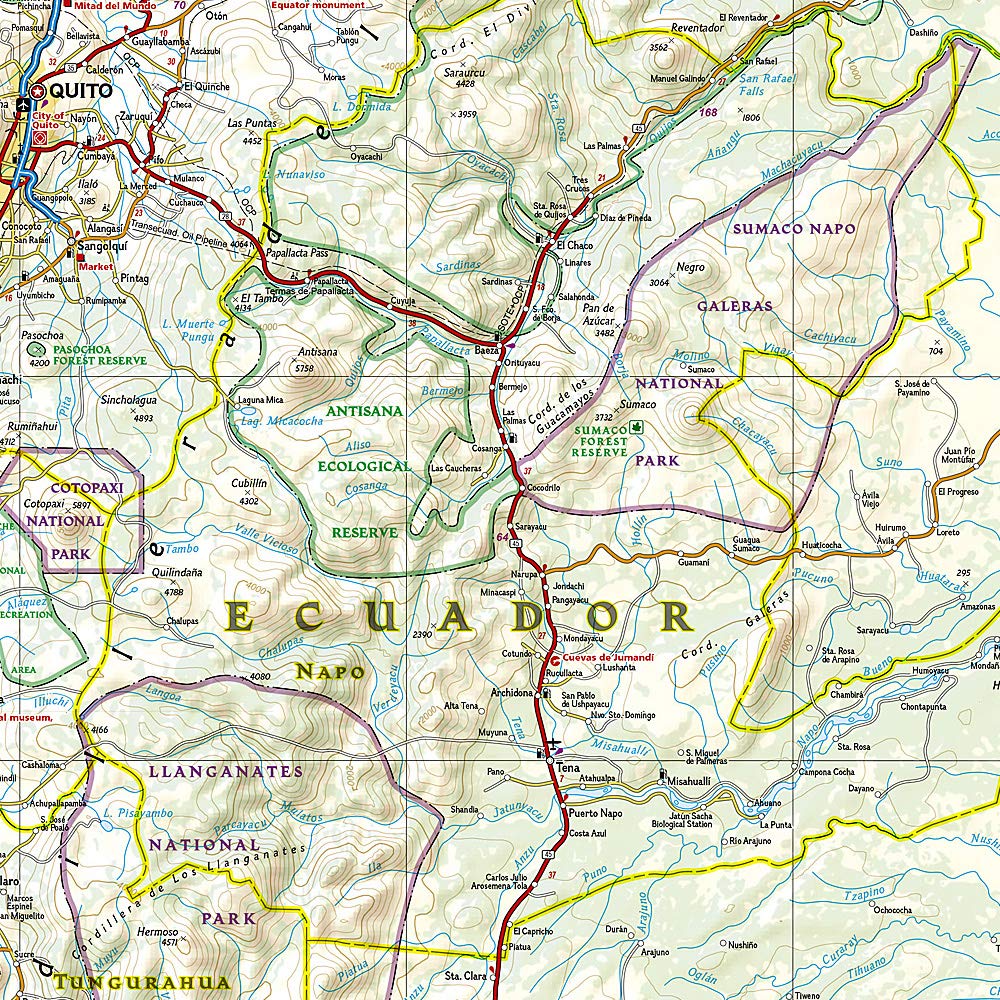
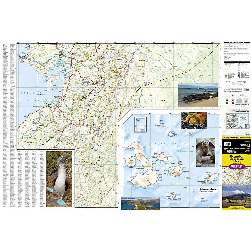
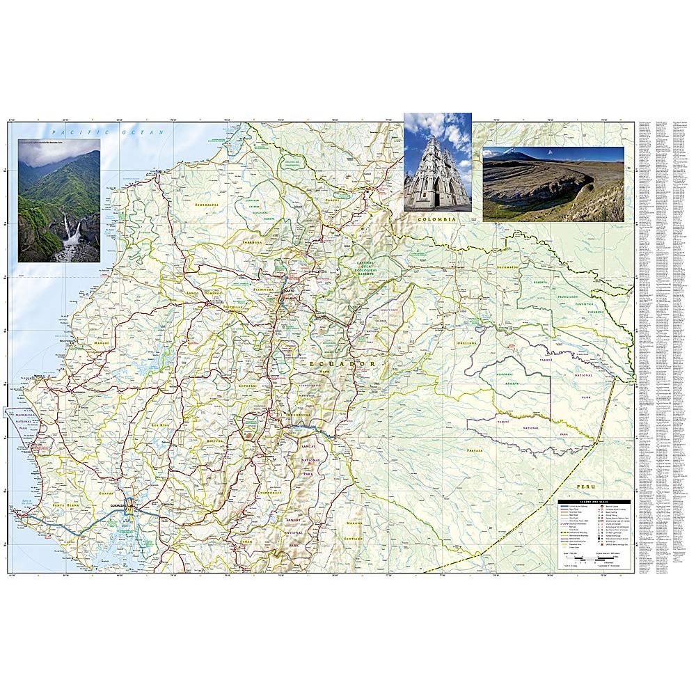
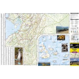
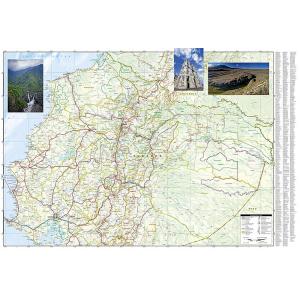
National Geographic’s Ecuador and Galapagos Islands Adventure Map, with its comprehensive information, is uniquely designed for adventure travelers. The map delivers unparalleled detail of the entire country and its recreational, historical, cultural and natural destinations. Pinpointed spots include beaches, wildlife areas, archeological sites, churches and areas for camping, surfing, fishing and diving. A list of cities and towns with a user-friendly index is provided along with a road network of highways, major and secondary roads, shown with distances. Unsurfaced and 4-wheel-drive roads are mapped for those wishing to get off the beaten track. Other displayed travel aids include airports, airfields, harbors, anchorage sites, railroads, ferry routes and border crossings with neighboring Colombia and Peru. The northern part of the map covers the capital city of Quito, Cotopaxi Volcano and National Park, Cuyabeno Wildlife Reserve, the town of Tena in the Amazon rainforest and the country’s largest city of Guayaquil. The southern part of the map covers from Guayaquil to the southern and southeastern border with Peru, showing the diverse Podocarpus National Park in the southern Andes and Amazonian ecological systems. An inset map covers the world renowned Galapagos Islands, showing Galapagos National Park and Marine Reserve, Tortoise Reserve and diving areas around the islands. This expertly researched map is the perfect complement to any guidebook. Every Adventure Map is printed on durable synthetic paper, making them waterproof, tear-resistant and tough — capable of withstanding the rigors of international travel.
We love technology and enjoy the convenience of GPS, but you can’t plan a trip on a phone screen and navigation doesn’t work where there’s no cell signal. Start your next trip on the right foot with a high-quality folding travel map. Make the most of your next adventure, even if you lose GPS or cell signals. You’ll always be on the correct route with our folding travel maps. Your adventure starts here!
What is an Adventure Map?
Adventure Maps are the most authoritative maps for touring international destinations. Each waterproof and tear-resistant map provides travelers with the perfect combination of detail and perspective, highlighting points of interest for those venturing outside city centers. From the plains of France to the top of Mt. Everest these maps cover the hottest adventure destinations.
About the Author
Founded in 1915 as the Map Department of the National Geographic Society, National Geographic Maps is responsible for illustrating the world around us through the art and science of mapmaking. Today, National Geographic Maps continues this mission by creating the world’s best wall maps, outdoor recreation maps, travel maps, atlases and globes that inspire people to care about and explore their world.
Back-Orders & Out-of-Stock Items
If an item is out of stock, it will ship as soon as it becomes available. The expected timeframe is shown in the “Normally Ships in” section below the Add to Cart button. If your order is on backorder, you will receive email updates as we get more information. Our goal is always to deliver your products as quickly as possible.
Returns
We accept free returns within 30 days of delivery. To start a return, please contact us within 30 days to receive a return authorization number. Once we receive the return, we will issue your refund within three business days. Please note: original shipping charges are non-refundable and return shipping costs are your responsibility unless the error was ours.
Returns are not accepted on clearance items. All clearance sales are final.
| Publisher | National Geographic |
|---|---|
| Language | English |
| Print Series |