Name the countries in Africa that the equator passes through.
Gabon, Congo, Democratic Republic of Congo, Uganda, Kenya, Sao Tome and Principe, Somalia
africa maps
Welcome to our Map Drop Trivia House, where knowledge meets fun! Get ready to test your wits and challenge your friends with a collection of mind-boggling questions and fascinating facts. Our trivia is designed to provide a platform for both entertainment and learning.
Whether you’re a trivia enthusiast or just looking to have some casual fun, you’ll find an array of diverse categories to explore. Challenge yourself to see how many answers you can get right, or gather a group of friends for a friendly competition. With regular updates and fresh content, our trivia promises to keep you entertained!
Gabon, Congo, Democratic Republic of Congo, Uganda, Kenya, Sao Tome and Principe, Somalia
africa maps
TEXAS
In 1845 The Republic of Texas was annexed by treaty into the Union as the 28th state.
TEXAS, U.S.A. MAPS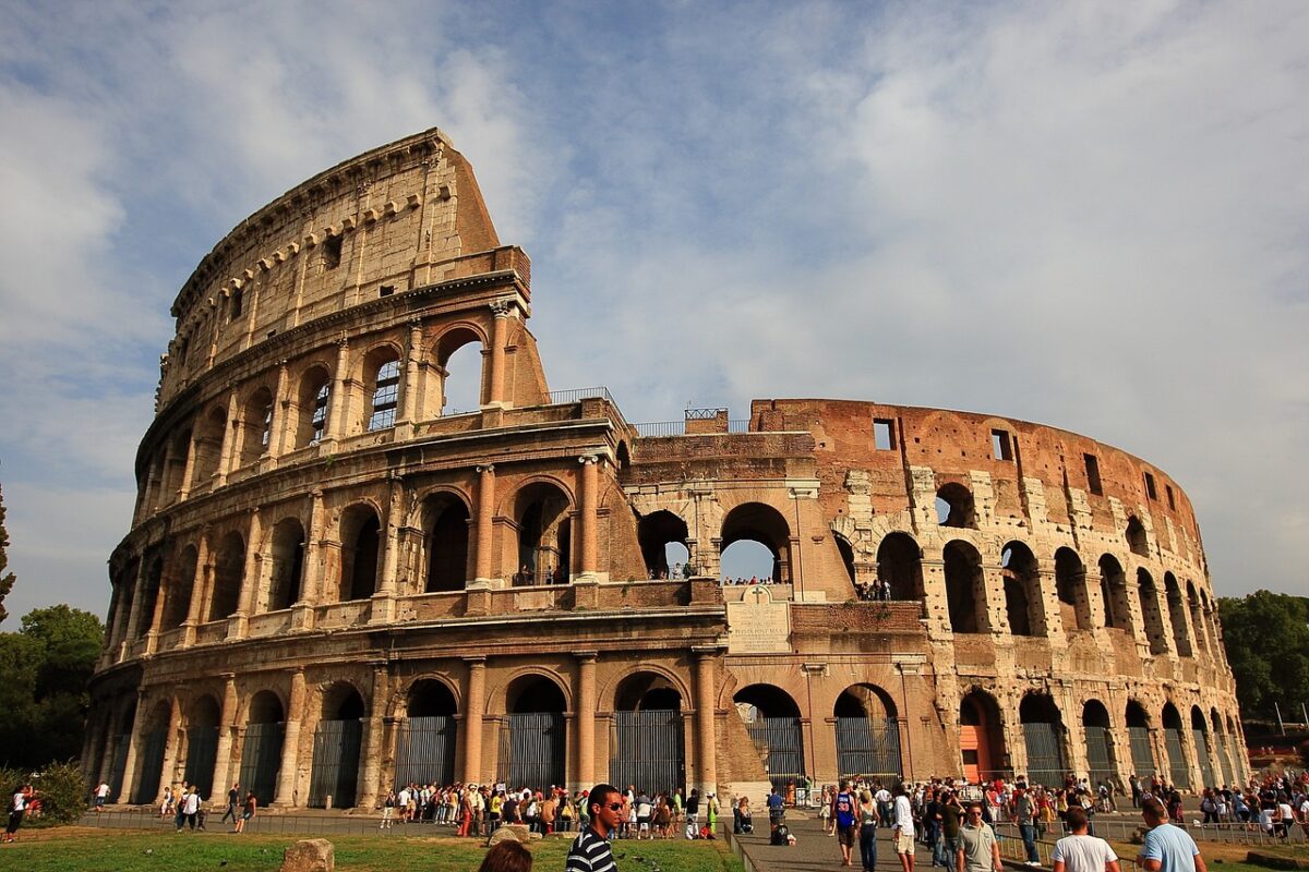
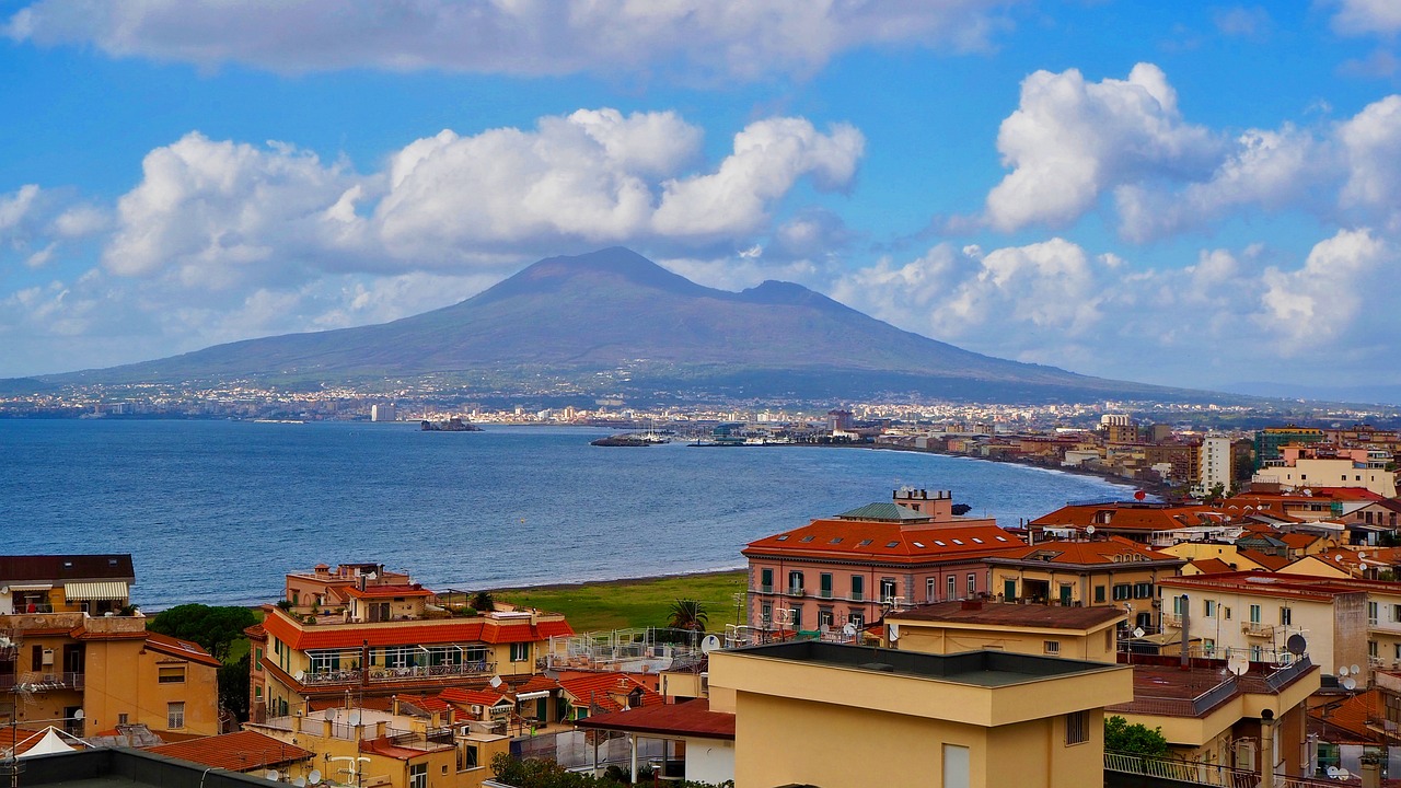
ADRIATIC, IONIAN, TYRRHENIAN, LIGURIAN, MEDITERRANEAN
ITALY MAPS
VIRGINIA
Virginia was divided into 8 shires or counties in 1634. They were: Accomac Shire, Charles City Shire, Charles River Shire, Elizabeth City Shire, Henrico Shire, James City Shire, Warwick River Shire, and Warrosquyoake Shire.
virginia, u.s.a. MAPS
CHARLOTTE of MECKLENBURG-STRELITZ
The queen consort of British King George III.
CHARLOTTE, NORTH CAROLINA MAPS
BORNEO
Indonesia, Brunei, and Malaysia, with the Malaysian part being divided into the two states of Sarawak to the west and Sabah to the east. The Indonesian portion is known as Kalimantan and Brunei’s section is between Sabah and Sarawak on the coast.
southeast asia maps
IL, IN, MI, MN, NY, OH, PA, WI
Illinois, Indiana, Michigan, Minnesota, New York, Ohio, Pennsylvania, and Wisconsin
GREAT LAKES MAP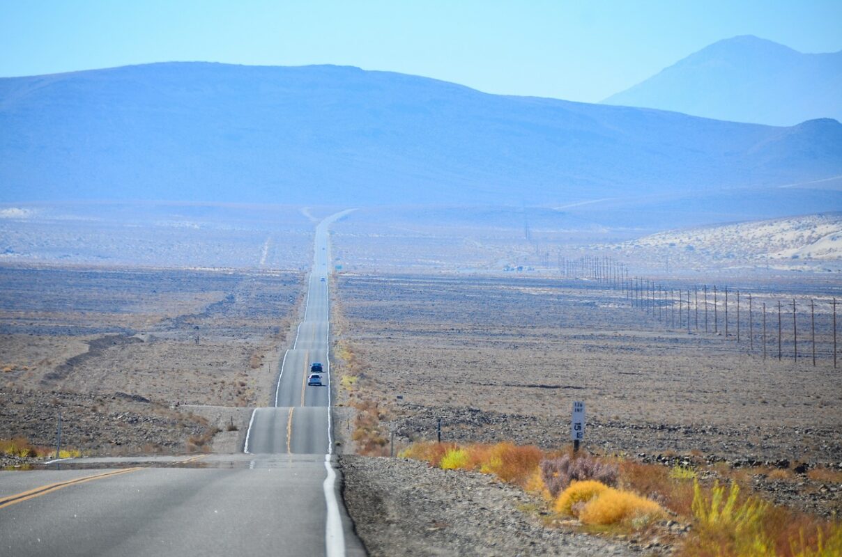
SAN BERNARDINO
With nearly 20,000 square miles of land, San Bernardino County is the largest county in the U.S.
U.S. MAPS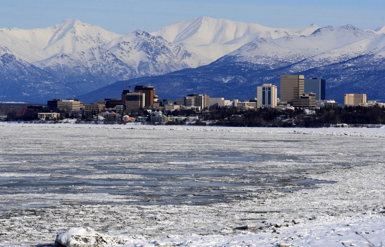
ALASKA & CALIFORNIA
They have both more earthquakes and more strong quakes than any other U.S. state.
U.S. MAPS
I-90
It connects Washington, Idaho, Montana, Wyoming, South Dakota, Minnesota, Wisconsin, Illinois, Indiana, Ohio, Pennsylvania, New York, and Massachusetts : for a total of 3,021 miles.
U.S. MAPS
The Grand Canyon is a chasm 277 miles long and up to 18 miles wide, and was formed by the Colorado River, which flows west through the canyon and averages about 300 feet width, 100 feet in depth and flows at an average speed of four miles per hour
Grand Canyon Maps
LIBERIA, MYANMAR, & THE U.S.
It’s worth noting that even though these countries have not officially adopted the metric system, there may be some limited use of metric units in specific contexts or industries within these countries.
U.S. MAPS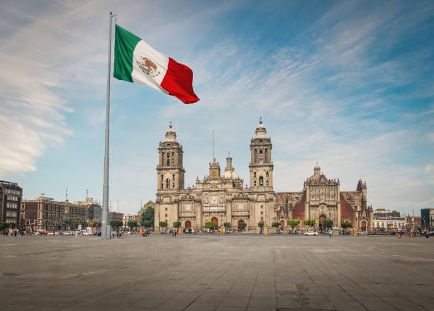
Since it was registered in the National Sports Commission. It is a horseback based livestock herding discipline. The riders are called called “Charros”
MEXICO MAPS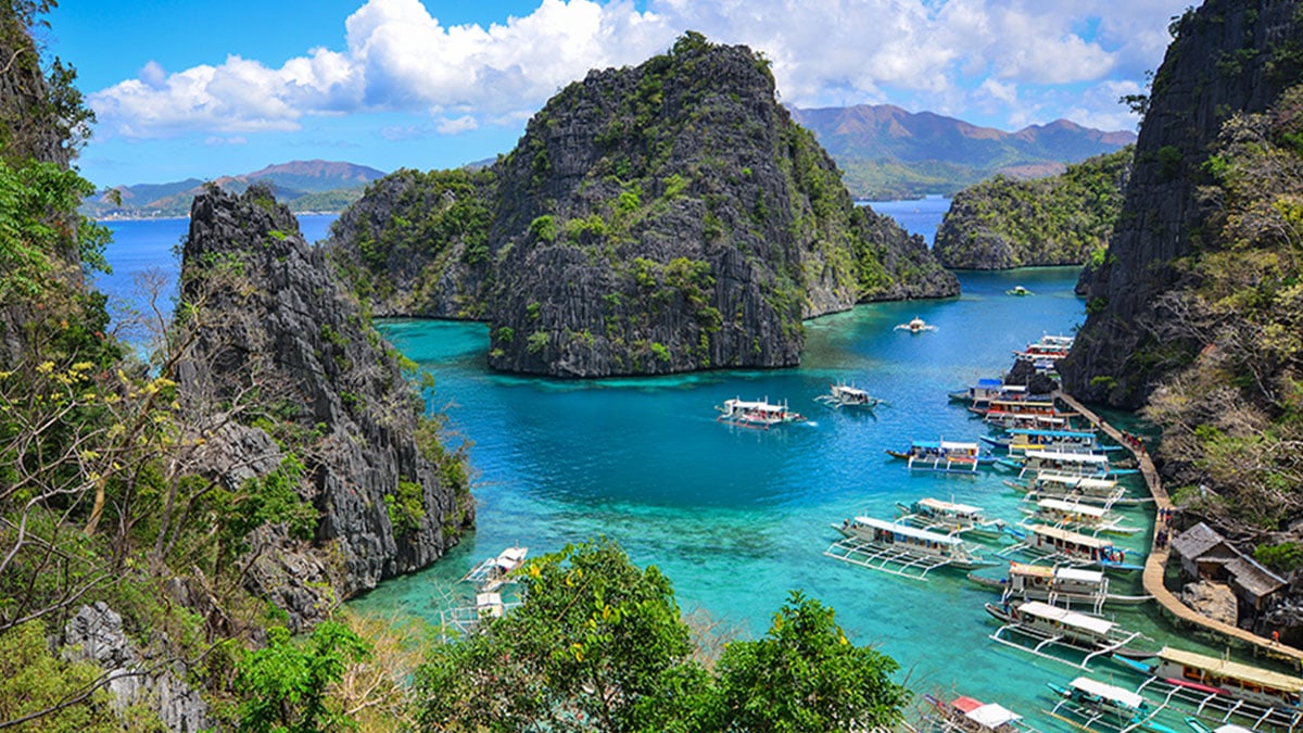
The Philippines, officially the Republic of the Philippines, is an archipelagic country in Southeast Asia. In the western Pacific Ocean, it consists of 7,641 islands which are broadly categorized in three main geographical divisions from north to south: Luzon, Visayas, and Mindanao.
Philippines Maps
The falls are 3230 feet in height, with an uninterrupted drop of 2647 feet.
VENEZUELA MAPS
In a referendum on Nov. 3, 2020, voters chose to amend their state constitution and shorten the name from “State of Rhode Island and Providence Plantations” to just “State of Rhode Island”.
U.S. MAPS
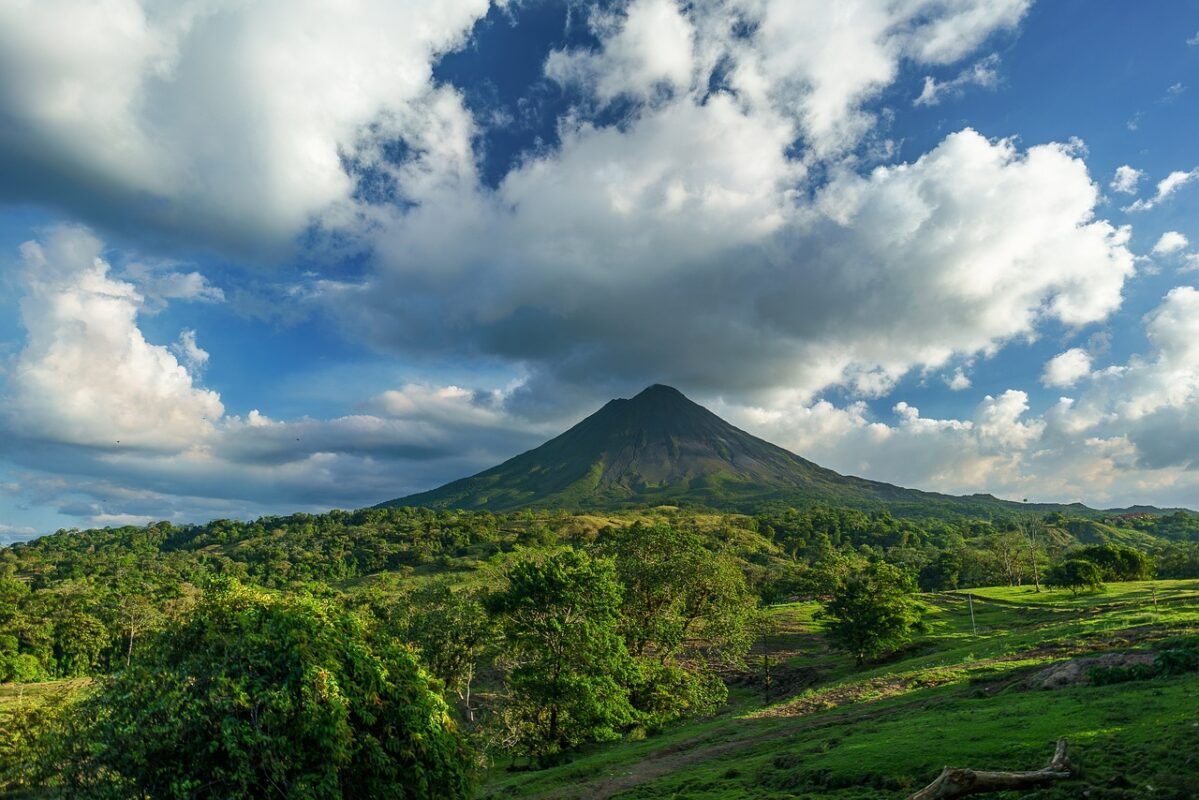
Costa Ricans gave themselves these colloquial monikers due to their linguistic tendency to add the diminutive “tico” to the end of words.
COSTA RICA MAPS
The most common street name in America is Second St., according to the U.S. Census Bureau. (this broke our brains too, apparently 2nd often follows both Main and First streets)
U.S.A. MAPS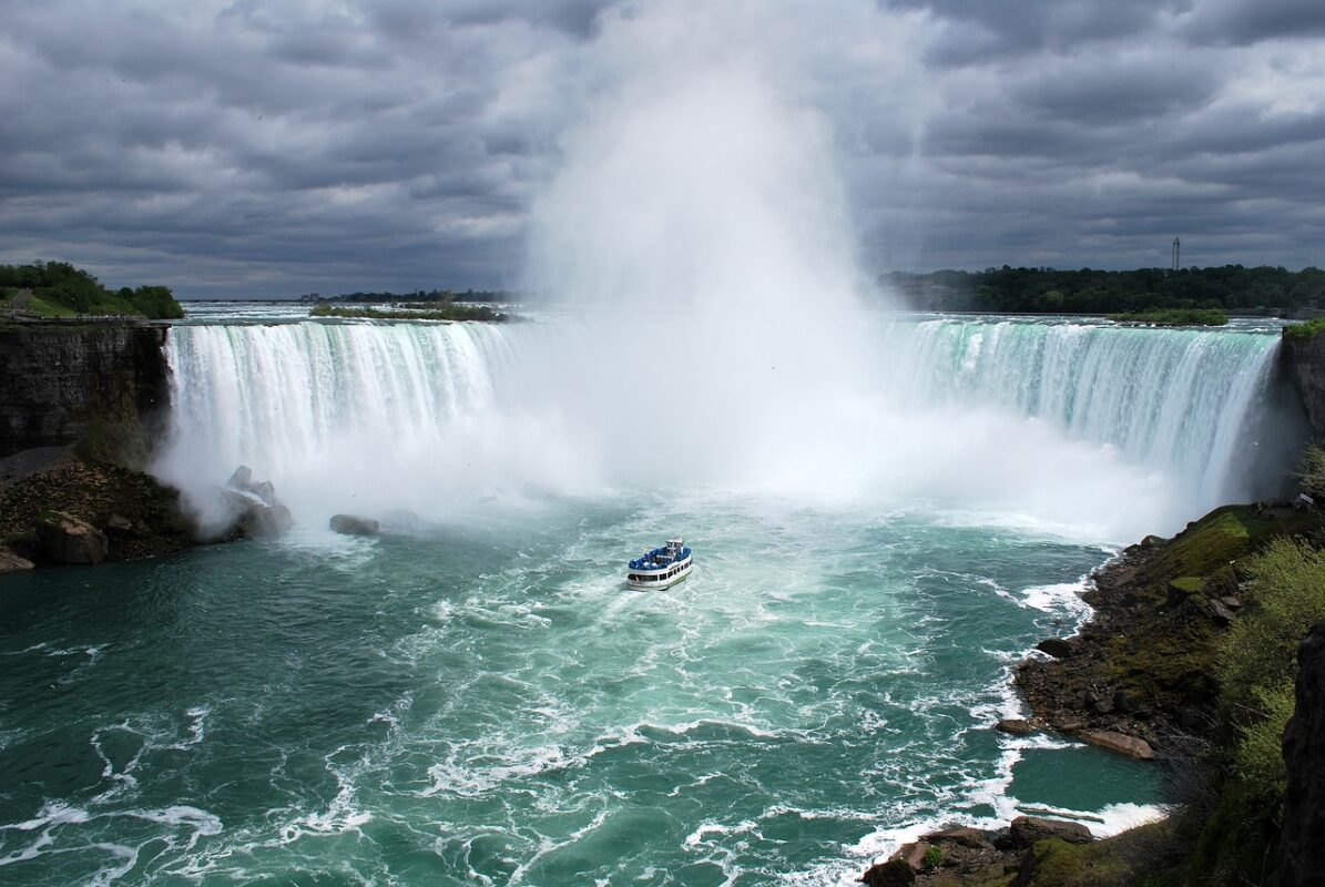
The border between Canada and the United States is the longest international border in the world – 5,525 miles long.
CANADA MAPS

BEAUMONT, PORT ARTHUR, ORANGE
TEXAS MAPS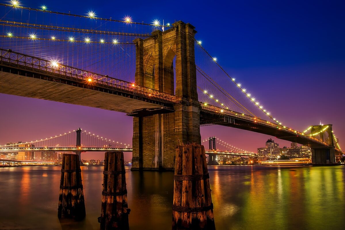
THE BRONX, BROOKLYN, MANHATTAN, QUEENS, & STATEN ISLAND
NEW YORK MAPS
GERMANY in 1610
It wasn’t the shiny plastic stuff we get these days; it was made from shredded silver. The silver was hammered so that it was thin, and then cut into thin strips.
germany maps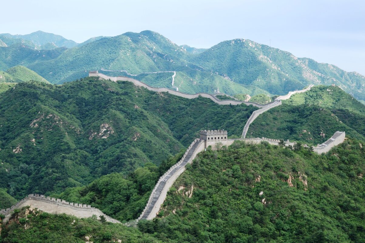
ONE
China, a country roughly the same size of the continental United States, has one time zone: Beijing Standard Time.
CHINA MAPS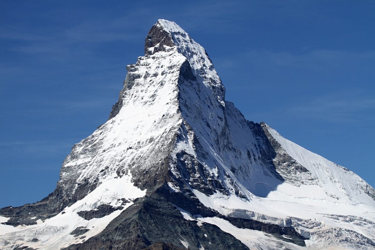
SWITZERLAND
The letters CH appearing on Swiss cars and in internet addresses stand for the Latin words “Confoederatio Helvetica”, meaning Swiss Confederation.
switzerland maps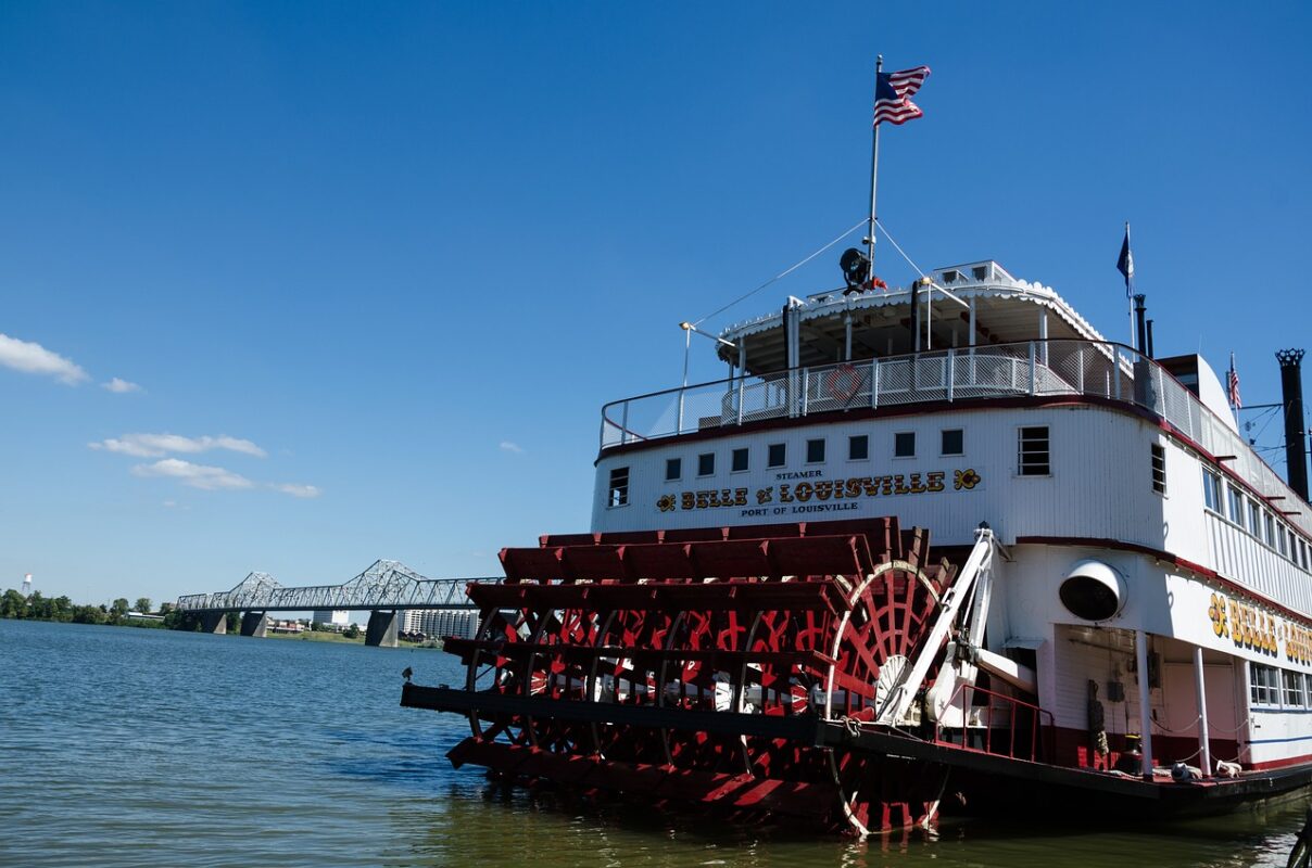
KENTUCKY
The name “Mammoth” was first used to describe the cave in the early 1800s. It refers to the “mammoth” size of the cave’s chambers and avenues, not the prehistoric elephant-like mammal.
kentucky maps
6 STARS
The five grouped stars of the flag represent the Southern Cross. (or Crux) is the brightest constellation visible in the Southern Hemisphere. The single star represents the Commonwealth.
australia maps
INGOLSTADT
Victor Frankenstein builds the creature over a two-year period in the attic of his boarding house in Ingolstadt after discovering a scientific principle which allows him to create life from non-living matter.
germany maps
Spain, France, Mexico, the Republic of Texas, the United States and the Confederate States of America
texas maps
Andorra, Belgium, Germany, Italy, Luxembourg, Monaco, Spain, Switzerland
europe maps
DANUBE RIVER
It flows through 10 countries: Germany, Austria, Slovakia, Hungary, Croatia, Serbia, Bulgaria, Romania, Moldova, and Ukraine.
europe maps
DOVER, DE || PIERRE, SD JUNEAU, AK || JEFFERSON CITY, MO
U.S. MAPS
MOUNT CHIMORAZO
Due to Earth’s equatorial bulge, Ecuador’s Mount Chimborazo peak is, in fact, the closest to all things in “outer space” including our moon.
ecuador maps
SPAIN, FRANCE, MOROCCO
EUROPE MAPS
CIMARRON, OK
Cimarron is the only county in the United States that touches four other states: Kansas, Colorado, New Mexico, Texas.
U.S. MAPS
THE SARGASSO SEA
Its bounded on the West by the Gulf Stream, on the North by the North Atlantic Current, on the East by the Canary Current, and on the South by the North Atlantic Equatorial Current, the four together forming a clockwise-circulating system of ocean currents termed the North Atlantic Gyre
north atlantic maps
I-90
It connects Washington, Idaho, Montana, Wyoming, South Dakota, Minnesota, Wisconsin, Illinois, Indiana, Ohio, Pennsylvania, New York, and Massachusetts : for a total of 3,021 miles.
U.S. MAPS
ALASKA
The Aleutian Island, Semisopochnoi, sits in the Eastern Hemisphere about 10 miles from the 180th meridian, making Alaska the most “Eastern” U.S. state.
alaska maps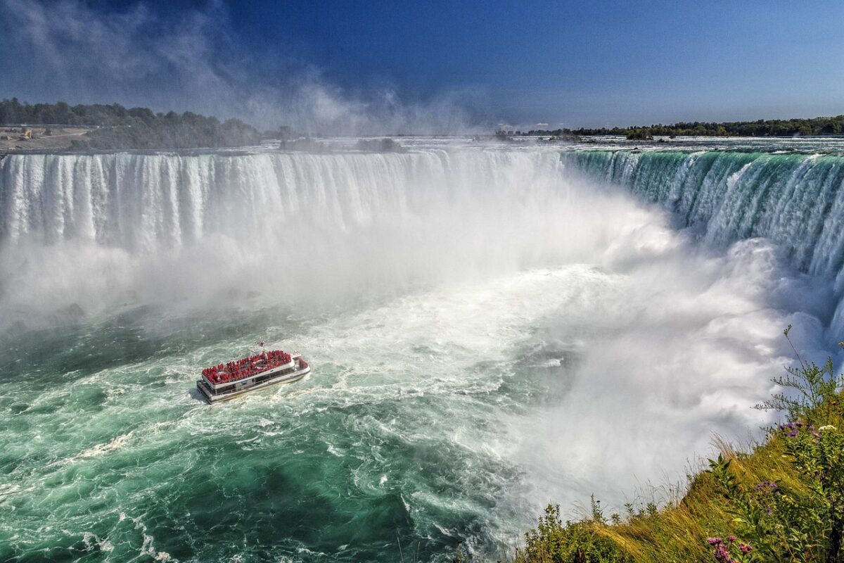
CANADA
125,567 miles of total coastline is the most in the world: Pacific Ocean to the west, Atlantic Ocean to the east, and the Arctic Ocean to the north.
canada maps
BELIZE, COSTA RICA, EL SALVADOR, GUATEMALA, HONDORAS, NICARAGUA, PANAMA
central america maps
NEW YORK, PHILADELPHIA, WASHINGTON D.C.
U.S. MAPS
GREENLAND
Named: “The National Park” it is the world’s largest. The area is nearly the combined size of France and Spain and includes the entire northeastern part of Greenland
GREENLAND MAPS
Afghanistan, Andorra, Armenia, Austria, Azerbaijan
azerbaijan maps
NIGERIA & SEYCHELLES
Nigeria has the largest (215,063,351)
Seychelles has smallest population (99,336)
africa maps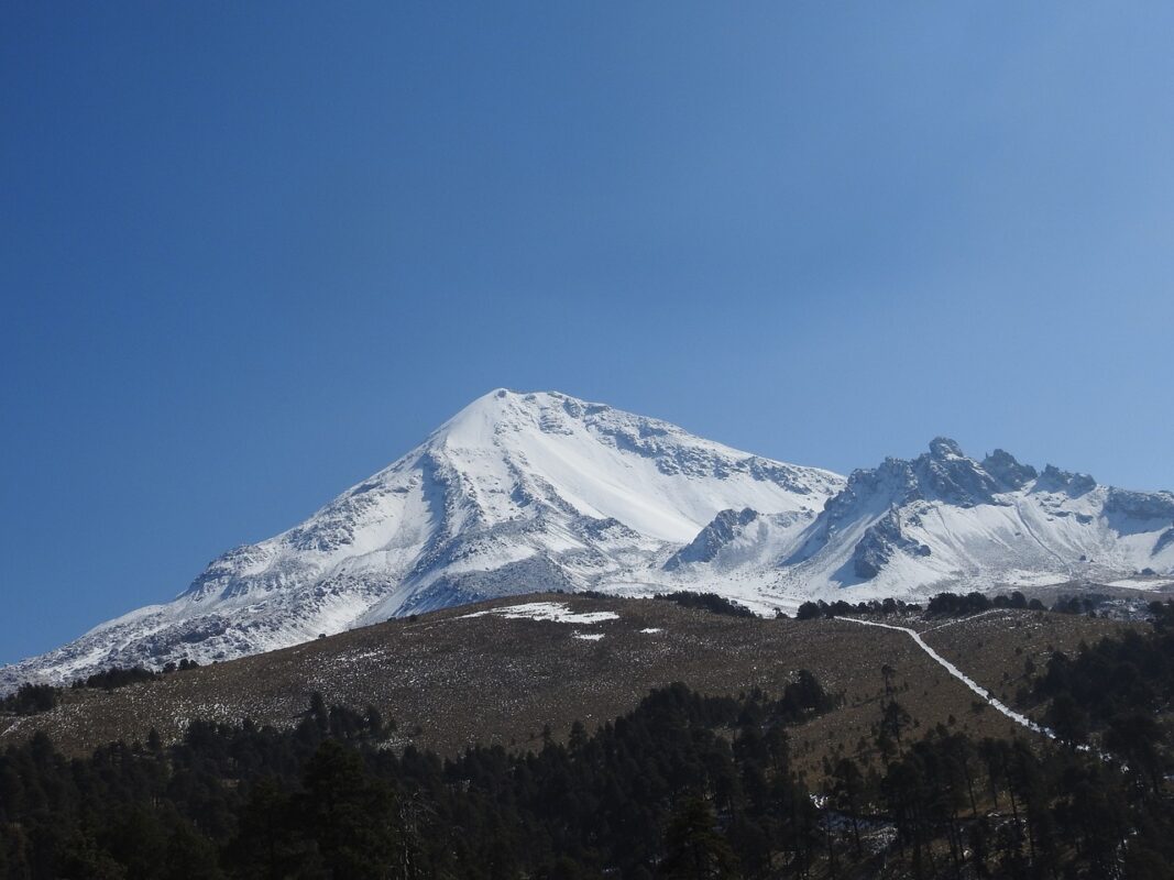
PICO DE ORIZABA
Sitting on the border of Veracruz and Puebla, Pico de Orizaba is the third-highest peak in North America after Mount McKinley in the US and Mount Logan in Canada.
north america maps
DEATH VALLEY
U.S. MAPS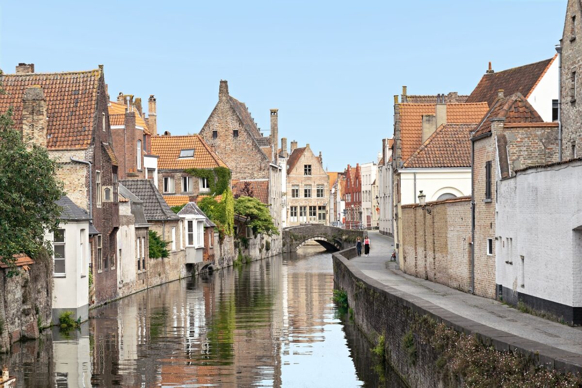
BELGIUM
belgium maps