
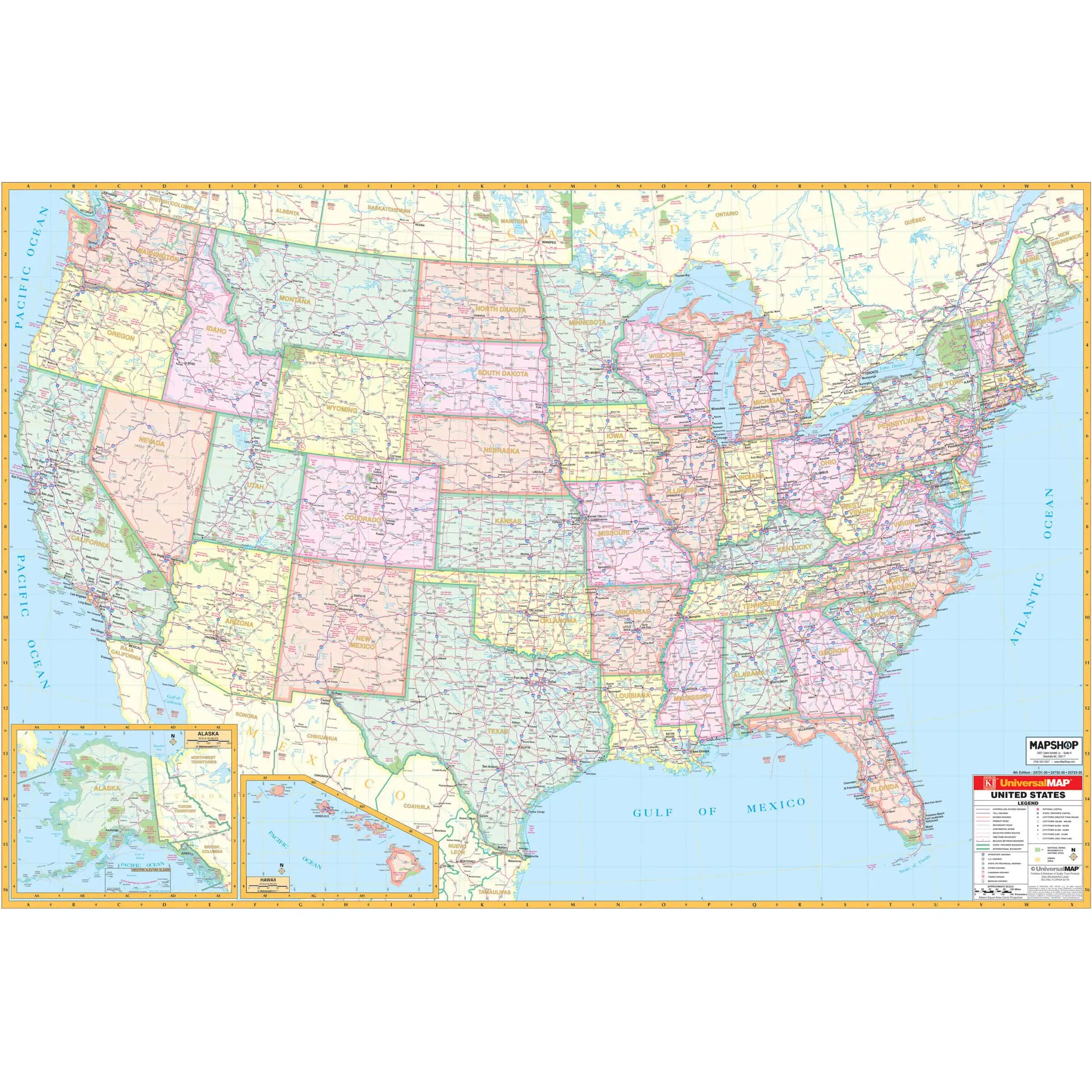


We use the map to plan a family trap out west marking and planning a route from Illinois to Washington state hitting a lot of historic sites both coming and going. We marked the direction of travel and sites visited so family members later on can retrace our route exactly if interested. I will say the map I ordered was a little bigger than I needed 😆
 United States Interstate Wall Map by Kappa









