What Are US Folding State Maps?
US folding state maps are detailed maps designed to cover individual states, offering comprehensive road networks, major cities, and local attractions. They fold compactly for easy storage and provide more detail than nationwide or regional maps, making them ideal for in-depth exploration of one state at a time.
US folding state maps are detailed maps designed to cover individual states, offering comprehensive road networks, major cities, and local attractions. They fold compactly for easy storage and provide more detail than nationwide or regional maps, making them ideal for in-depth exploration of one state at a time.
Why Use a State Map Instead of GPS?
GPS can fail in remote areas or provide incomplete data for scenic routes and smaller roads. A printed state map ensures you have accurate, reliable information no matter where you travel. It gives a complete visual overview of the entire state, allowing for better planning and flexibility during your trip.
GPS can fail in remote areas or provide incomplete data for scenic routes and smaller roads. A printed state map ensures you have accurate, reliable information no matter where you travel. It gives a complete visual overview of the entire state, allowing for better planning and flexibility during your trip.
What Types of State Maps Are Available?
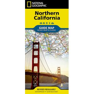
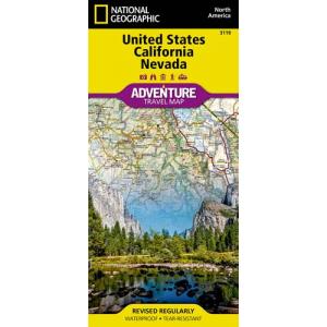
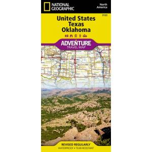
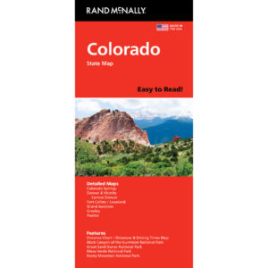
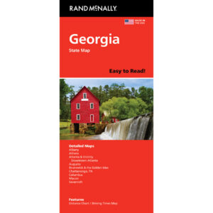
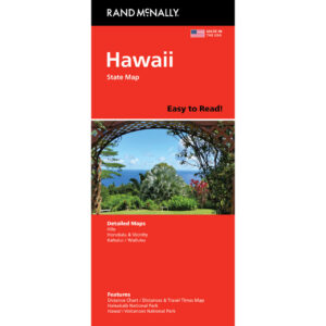
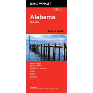
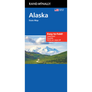
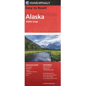
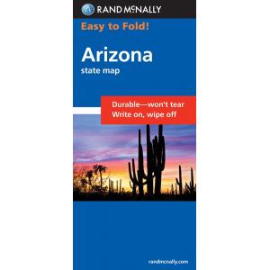
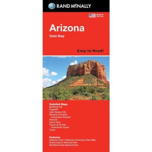
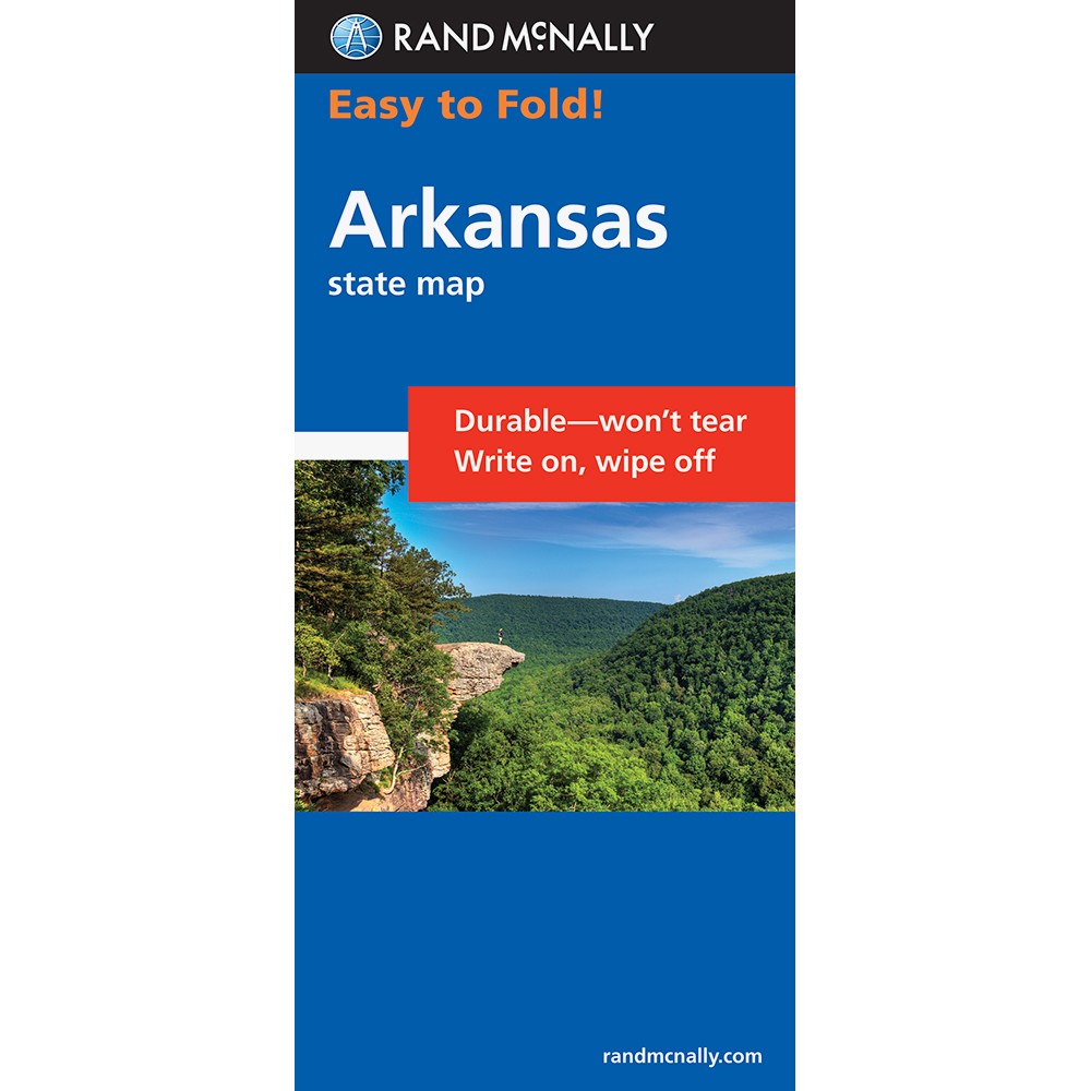
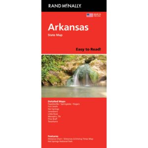
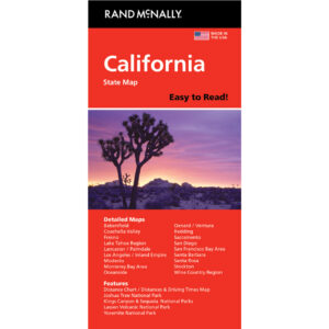
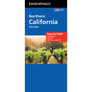
Our collection includes folding maps for every US state, each featuring highways, local roads, city insets, rest areas, scenic drives, parks, and points of interest. Many also include mileage charts, travel tips, and topographic shading to enhance your navigation and trip planning experience.
Our collection includes folding maps for every US state, each featuring highways, local roads, city insets, rest areas, scenic drives, parks, and points of interest. Many also include mileage charts, travel tips, and topographic shading to enhance your navigation and trip planning experience.
How Are State Maps Different from Regional and Nationwide Maps?
State maps focus exclusively on one state, offering the most detailed road coverage available compared to regional or nationwide maps. They include smaller roads, rural routes, and more points of interest, making them ideal for travelers who want a deeper understanding of a single state’s geography and attractions.
State maps focus exclusively on one state, offering the most detailed road coverage available compared to regional or nationwide maps. They include smaller roads, rural routes, and more points of interest, making them ideal for travelers who want a deeper understanding of a single state’s geography and attractions.
Are Folding State Maps Good for Road Trips?
Yes. Folding state maps are perfect for both short drives and extended stays within a state. They help you discover scenic byways, state parks, historic sites, and hidden gems that digital tools may miss. Their compact size makes them easy to store in your car or carry on foot.
Yes. Folding state maps are perfect for both short drives and extended stays within a state. They help you discover scenic byways, state parks, historic sites, and hidden gems that digital tools may miss. Their compact size makes them easy to store in your car or carry on foot.
Do State Maps Include Points of Interest?
Most state maps highlight parks, campgrounds, historic landmarks, scenic highways, and popular attractions. Many also include elevation shading and detailed insets for metropolitan areas, giving you a complete picture of travel opportunities within the state.
Most state maps highlight parks, campgrounds, historic landmarks, scenic highways, and popular attractions. Many also include elevation shading and detailed insets for metropolitan areas, giving you a complete picture of travel opportunities within the state.
What Finishes Are Available for State Maps?
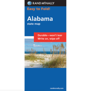
Our state maps are printed on durable paper, with select editions available in laminated or waterproof synthetic finishes. These rugged options are designed for repeated use and withstand outdoor conditions, making them ideal for adventure travel and long trips.
Our state maps are printed on durable paper, with select editions available in laminated or waterproof synthetic finishes. These rugged options are designed for repeated use and withstand outdoor conditions, making them ideal for adventure travel and long trips.
How Often Are State Maps Updated?
State maps are updated every one to two years to reflect changes in highways, roads, and points of interest. Purchasing from The Map Shop ensures you receive the latest edition available for your destination.
State maps are updated every one to two years to reflect changes in highways, roads, and points of interest. Purchasing from The Map Shop ensures you receive the latest edition available for your destination.
Why Buy US Folding State Maps from The Map Shop?
Since 1990, The Map Shop has provided high-quality printed maps trusted by travelers nationwide. We carry state maps from leading publishers known for their accuracy and detailed information. Every order is inspected and shipped from our Charlotte, NC facility. Whether you’re planning a vacation or need detailed navigation for work, our folding state maps offer dependable guidance.
Since 1990, The Map Shop has provided high-quality printed maps trusted by travelers nationwide. We carry state maps from leading publishers known for their accuracy and detailed information. Every order is inspected and shipped from our Charlotte, NC facility. Whether you’re planning a vacation or need detailed navigation for work, our folding state maps offer dependable guidance.