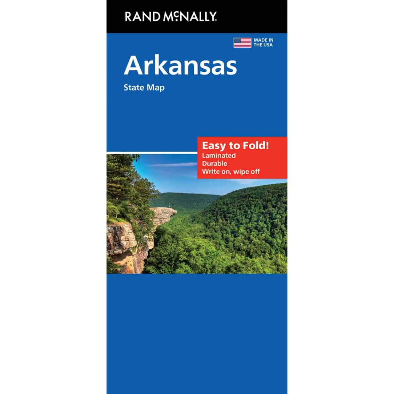
Arkansas Easy To Fold Map by Rand McNally
A folding travel map of Arkansas in the Easy To Fold format, designed for drives across the Natural State. It opens to the section you need and closes again without a fight.
- Territory covered: the full state, from the Ozark and Ouachita Mountains to the Arkansas River Valley and the Mississippi Delta
- Labeled highways, county boundaries for all 75 Arkansas counties, and points of interest
- Full-color cartography with a quick-reference legend
- City index for finding towns fast
- Folds to display individual map sections, so one region shows without opening the whole sheet
- Durable and tear resistant for repeated use on the road
- Works with no GPS or cell signal, which matters on rural routes through the Ozarks and Ouachita National Forest


