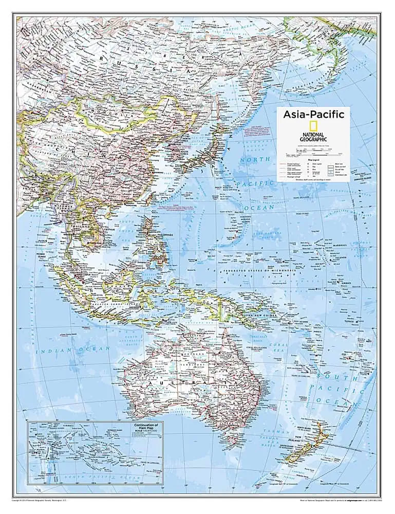
Asia-Pacific Wall Map – National Geographic
This map originated as a single plate in the National Geographic Atlas of the World, 10th Edition, now printed independently for wall display. The frame of reference is the Pacific basin rather than the continent, sweeping from the East and Southeast Asian mainland out through Indonesia and the Philippines, down past Australia and New Zealand, and across the island groups of Micronesia, Melanesia, and Polynesia.
National Geographic cartography uses restrained political tints, clean type, and a place-name hierarchy that keeps a crowded ocean of small nations legible from across a room.
Map Shop finishes each copy to order. Available options include:
- Paper prints on premium 36 lb stock
- Lamination with 1.7 mil satin gloss front and back, suitable for wet-erase markers
- Foam core mounting on quarter-inch board for push pins
- Rails and frames in black or walnut molding
Well suited for trade offices, conference rooms, and geography classrooms.




