Intro to Info: What Map Provides Detailed Information?
Maps are inherently all about sharing geographic info, but some go further in-depth than others. Large-scale maps, in particular, provide a great deal of detailed information that others simply don’t.
Available in a myriad of types that cover nearly any area you could imagine, they’re some of the best maps around if you need to zoom in on a location and see beyond the bigger picture.
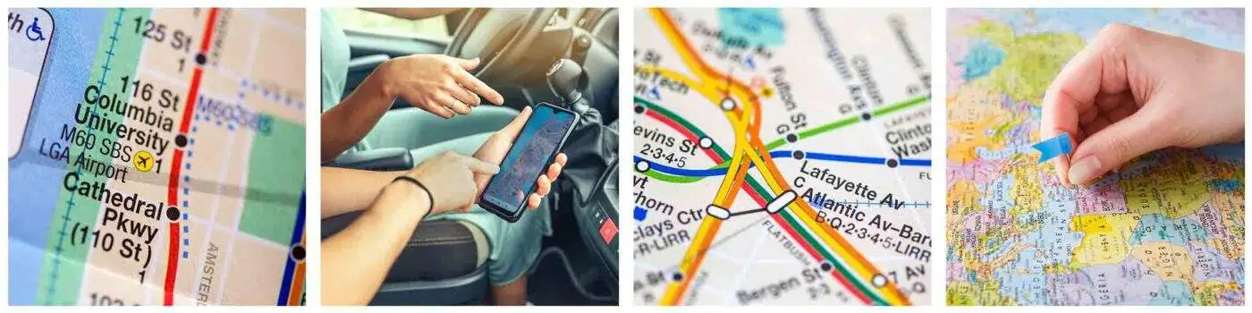
Haven’t heard of large-scale maps before? Read on to learn more about large-scale maps in particular, what kind of situations they’re handy in, and what detailed information you might find within.
Large Scale Of Course
For those wanting a basic definition of this map subcategory, it’s pretty straightforward. Large-scale maps are maps that cover a relatively small area but provide a great deal of detail.
Small villages or townships, towns, neighborhoods, cities, and similar areas are all locales you’ll find explored in large-scale maps, ensuring that nearly everyone can make use of them regardless of where one lives or explores.
Because of the scale on display here, these maps somewhat “magnify” the location or locations it examines. Large-scale maps can then provide insight beyond basic routes or terrain, zeroing in even on tiny features, streets, and geographical minutia. Generalization? Yeah, that doesn’t happen here, which makes them stand out from traditional maps.
At their most basic level, large-scale maps are those that take a closer look at the bits other maps generally skip over or keep at a minimum. That doesn’t seem like anything too significant or game-changing on paper, but it really is.
Why? Because large-scale maps can sometimes provide a whole wealth of knowledge that’s notably missing from regular old maps you might pick up off the shelf.
Large Map Specifics
Interested in some of the information you might find? Well, the specifics will naturally vary depending on the location and map type you’re dealing with. However, some of the things you’ll likely see include:
- Small inlets or tributaries
- Back alleys and side streets
- Exact coastline shape
- Housing/business layouts
- Water towers, parks, parking structures, etc.
- Roundabouts
- Major attractions such as museums or galleries
- Train stations
If all of it seems like a lot, that’s because it is. Yet, it never feels overly crowded or crowded. Due to their specialized sizing and spacing, large-scale maps can show off a ton of detailed information and still have room for more, helping you avoid feeling overwhelmed or confused when looking for a specific feature.
Indeed, most experts actually consider these more in-depth maps more accurate, efficient, and reliable than their more standard, small-scale counterparts. It makes sense since even things like coastlines aren’t skimmed over — ultimately offering a better overview of a whole location than is typically represented.
Major Uses
o, the difference between large-scale maps and others is stacking up, and it’s clear which reigns supreme when it comes to the most detailed info. But that doesn’t exactly explain the reasoning behind it. Why even bother with such minutia?
Simple: the amount of information shared in large-scale maps is extremely helpful for navigation. You can think of it as the difference between someone explaining how to go somewhere through miles and cardinal directions versus the use of landmarks. Sure, both are taking you to the same place, but the difficulty of the journey will be vastly different.
After all, who among us knows which way is east at any given time or can accurately keep track of mileage while driving?
Probably very few. Yet, in contrast, just about any of us can spot a big landmark when it’s pointed out to us, guaranteeing we’ll go through a whole lot less hassle (and time getting lost!) on any journeys we may take.
The same thing can be said for maps.

Small scale may demonstrate what major roads we need to take, but that’ll only get us so far. At some point, you need to know where to turn, where to merge, and how to determine you’re going the right way.
This requires relative distance, and that’s infinitely easier to “get” in large-scale maps.