What Are U.S. State Travel Atlases?
U.S. state travel atlases are bound collections of maps focused on a single state, offering detailed road networks, city insets, and points of interest. They provide more in-depth coverage than nationwide atlases, making them ideal for regional travel and local navigation.
U.S. state travel atlases are bound collections of maps focused on a single state, offering detailed road networks, city insets, and points of interest. They provide more in-depth coverage than nationwide atlases, making them ideal for regional travel and local navigation.
Why Use a State Atlas Instead of GPS?
GPS can be unreliable in rural or remote areas, and it often lacks detailed information about scenic routes or smaller roads. A state atlas provides a complete, uninterrupted view of your chosen state, allowing you to plan routes, explore attractions, and find alternate paths without relying on technology.
GPS can be unreliable in rural or remote areas, and it often lacks detailed information about scenic routes or smaller roads. A state atlas provides a complete, uninterrupted view of your chosen state, allowing you to plan routes, explore attractions, and find alternate paths without relying on technology.
What Types of State Atlases Are Available?
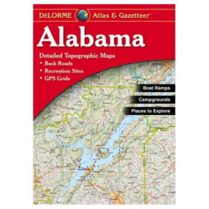
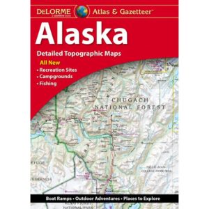
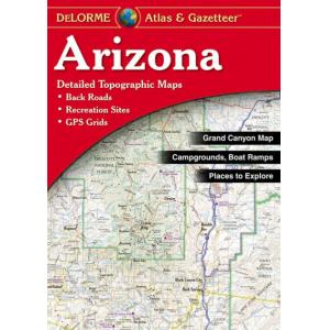
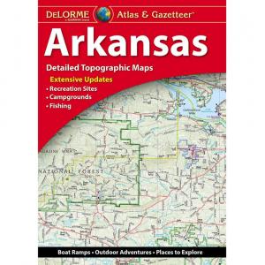
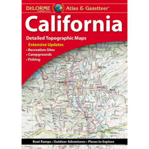
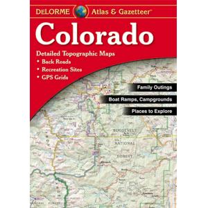
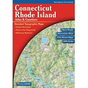
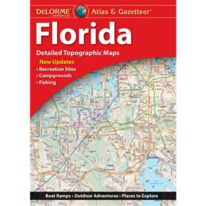
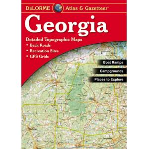
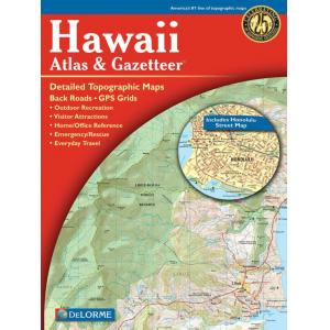
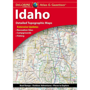
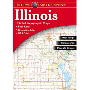
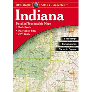
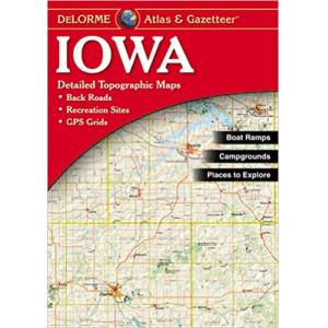
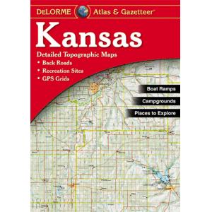
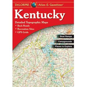
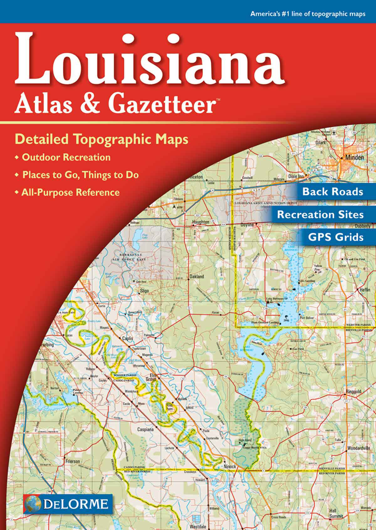
Our collection includes atlases for individual states across the U.S., each featuring highways, secondary roads, city street maps, and regional points of interest. Many also include topographic details, mileage charts, and travel tips to enhance trip planning.
Our collection includes atlases for individual states across the U.S., each featuring highways, secondary roads, city street maps, and regional points of interest. Many also include topographic details, mileage charts, and travel tips to enhance trip planning.
How Are State Atlases Different from U.S. Nationwide Atlases?
While nationwide atlases provide broad coast-to-coast coverage, state atlases focus exclusively on one state, offering more detailed maps of local areas, backroads, and city layouts. This makes them ideal for travelers spending extended time within a single state.
While nationwide atlases provide broad coast-to-coast coverage, state atlases focus exclusively on one state, offering more detailed maps of local areas, backroads, and city layouts. This makes them ideal for travelers spending extended time within a single state.
Are State Atlases Good for Road Trips and Regional Exploration?
Yes. State atlases are perfect for exploring one state in detail, showing highways, scenic drives, and hidden attractions. They are essential for both short day trips and extended in-state road adventures.
Yes. State atlases are perfect for exploring one state in detail, showing highways, scenic drives, and hidden attractions. They are essential for both short day trips and extended in-state road adventures.
Do State Atlases Include Points of Interest?
Most state atlases highlight campgrounds, parks, historical sites, and other attractions. They also include regional insets and driving distance charts to help you plan efficient travel routes.
Most state atlases highlight campgrounds, parks, historical sites, and other attractions. They also include regional insets and driving distance charts to help you plan efficient travel routes.
What Finishes and Formats Are Available?
State atlases are typically spiral-bound or paperback, making them easy to handle and reference while driving. Some editions have coated pages for durability during frequent travel use.
State atlases are typically spiral-bound or paperback, making them easy to handle and reference while driving. Some editions have coated pages for durability during frequent travel use.
How Often Are State Atlases Updated?
State travel atlases are updated every one to two years to reflect new roads, route changes, and updated information about attractions. Purchasing from The Map Shop guarantees you receive the latest edition available.
State travel atlases are updated every one to two years to reflect new roads, route changes, and updated information about attractions. Purchasing from The Map Shop guarantees you receive the latest edition available.
Why Buy U.S. State Travel Atlases from The Map Shop?
Since 1990, The Map Shop has provided high-quality printed maps and atlases trusted by travelers nationwide. We stock state atlases from reputable publishers known for their accuracy and detail. Every order is inspected and shipped from our Charlotte, NC facility, ensuring you have a dependable navigation tool for exploring your chosen state.
Since 1990, The Map Shop has provided high-quality printed maps and atlases trusted by travelers nationwide. We stock state atlases from reputable publishers known for their accuracy and detail. Every order is inspected and shipped from our Charlotte, NC facility, ensuring you have a dependable navigation tool for exploring your chosen state.