
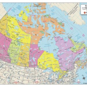
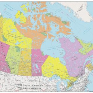
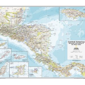
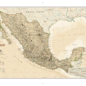
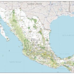

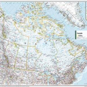
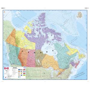
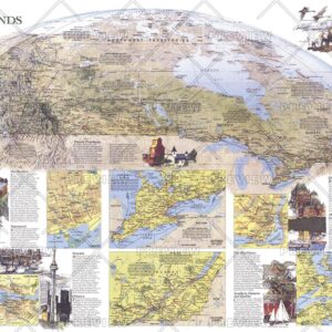
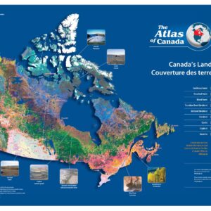
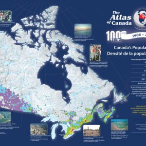
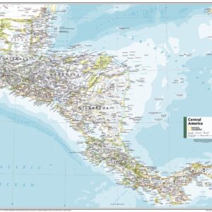
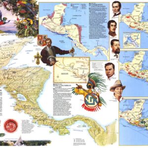
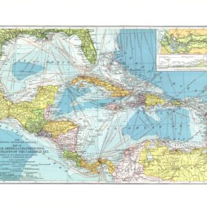
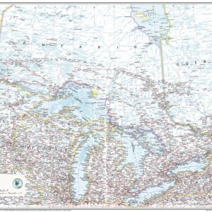
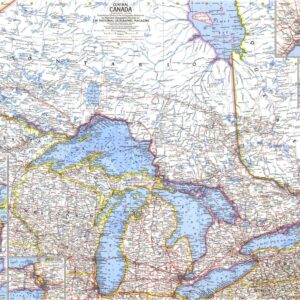
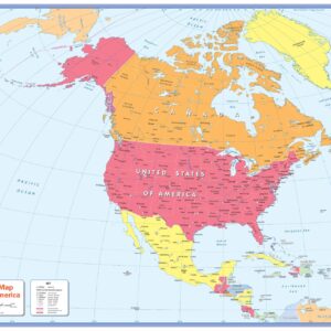
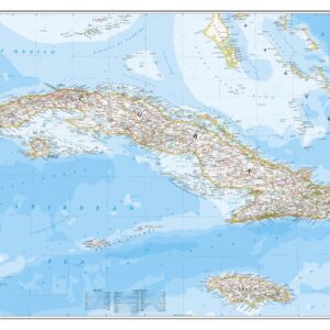
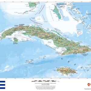
North America Country Maps provide focused cartographic detail on individual nations within the continent, including the United States, Canada, Mexico, and more. These maps showcase administrative boundaries, major cities, transportation networks, and physical geography, making them excellent tools for learning, planning, and decorating. Whether used in schools, businesses, or travel-themed rooms, these maps help bring the geography of each country to life. Want to explore other types of wall maps? Click here to browse our full collection.
Yes. North America Country Maps are versatile and useful in a wide range of settings. Teachers use them to reinforce geographic learning. Offices and business environments display them for global strategy, planning, and professional decor. Families and travelers use them to track visits or plan future adventures, including tracking travel each year. Whether you’re marking countries visited, teaching global awareness, or decorating a shared space, world maps provide both style and substance. Selecting the right map will ensure it fits your specific needs.
North America Country Maps can transform a room. When selecting one, consider the size, color scheme, and design to make sure it fits with your décor. A framed map adds a polished, professional look. Laminated maps are durable and easy to clean. Foam-mounted maps are great for pins and visual tracking. The right finish can make the map come alive in your space, enhancing both its visual appeal and functionality. World maps can spark conversation, highlight global awareness, and reflect your interests. Use one to create an inspiring focal point in your home, classroom, or workspace.
Each North America Country Map is finished by hand in our Charlotte, NC workshop using high-quality materials. We offer paper, laminated, mounted, framed, and spring roller formats. The specific paper type and lamination details depend on the map and finish selected. See individual product pages for specifications. Laminated maps work well with dry or wet-erase markers. While dry-erase is convenient, leaving the ink on too long may cause ghosting. For best long-term results, we recommend wet-erase markers. These markers dry quickly and remove cleanly with a damp cloth, keeping your map looking fresh over time.
Yes. All of our maps are finished in-house using professional techniques developed over decades. Choose a laminated map for a markable surface. Select a foam-mounted map for push pins and tacks. Prefer a ready-to-hang option? Go with a framed map or try a mounted map with rails for a sleek look. For schools and offices, we also offer spring roller maps that function like pull-down charts. And if you want a simple, unaltered version, paper maps are always available. No matter your needs, we have a finish that fits. Read more about our finishing options here.
Our maps come in a range of sizes depending on how the original map was published and its intended use. Some maps are created for large-format classroom displays. Others are scaled for office or home use. There is no universal sizing. To see exact dimensions for each map, check the individual product page for available options.
Since 1990, The Map Shop has been committed to publishing and finishing high-quality wall maps. We’ve worked with schools, government agencies, and Fortune 500 companies to produce maps that are accurate, durable, and visually impressive. Each map reflects decades of cartographic knowledge and a passion for quality. Our in-house team hand-finishes every product in Charlotte, NC using premium materials and proven techniques. Want to know what customers are saying? Read reviews here. Curious about our story? Learn more about The Map Shop.