What Are Alaska NOAA Charts?
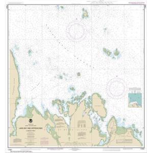
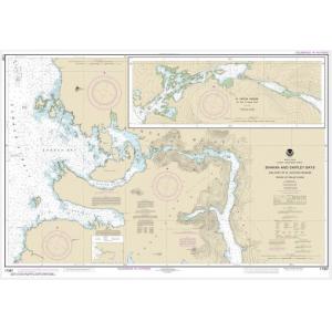
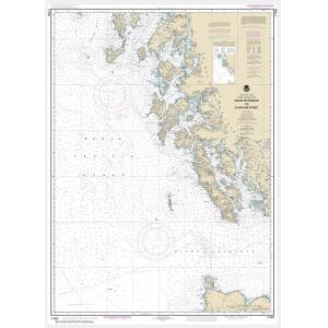
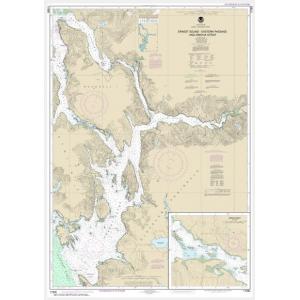
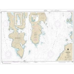
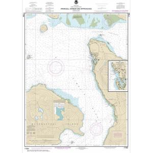
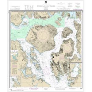
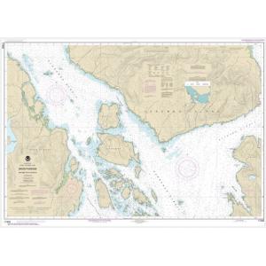
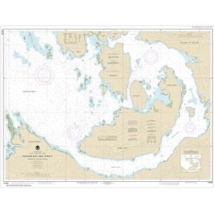
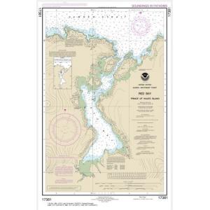
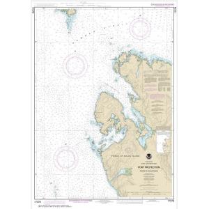
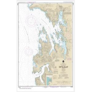
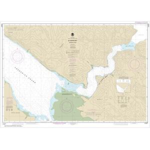
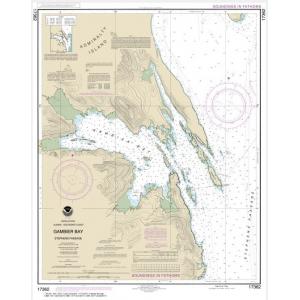
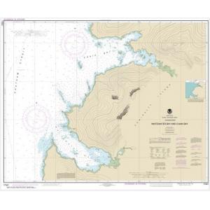
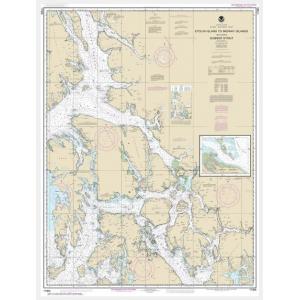
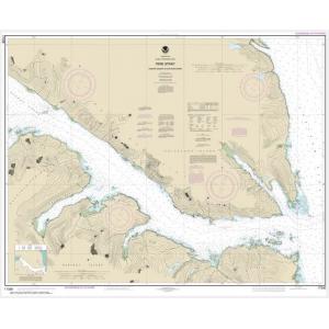
Alaska NOAA charts are official maritime maps that were historically produced by the National Oceanic and Atmospheric Administration to document Alaska’s vast and complex waterways. These charts detail Alaskan coastlines, fjords, islands, and fishing grounds, including depth soundings, channels, and shoreline topography. While NOAA has retired printed chart updates, these charts remain important reference tools and popular decorative pieces for those connected to Alaska’s maritime heritage.
Alaska NOAA charts are official maritime maps that were historically produced by the National Oceanic and Atmospheric Administration to document Alaska’s vast and complex waterways. These charts detail Alaskan coastlines, fjords, islands, and fishing grounds, including depth soundings, channels, and shoreline topography. While NOAA has retired printed chart updates, these charts remain important reference tools and popular decorative pieces for those connected to Alaska’s maritime heritage.
What Are the Different Types of Alaska NOAA Charts?
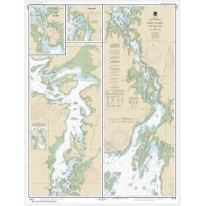
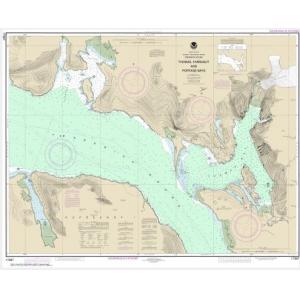
Our Alaska NOAA chart collection includes charts for every major Alaskan region. This includes the Aleutian Islands, Bering Sea, Inside Passage, Gulf of Alaska, Prince William Sound, Kodiak Island, and Southeast Alaska. Each chart provides intricate hydrographic data and coastal details, making them ideal for collectors, educators, and those seeking authentic Alaskan wall décor.
Our Alaska NOAA chart collection includes charts for every major Alaskan region. This includes the Aleutian Islands, Bering Sea, Inside Passage, Gulf of Alaska, Prince William Sound, Kodiak Island, and Southeast Alaska. Each chart provides intricate hydrographic data and coastal details, making them ideal for collectors, educators, and those seeking authentic Alaskan wall décor.
Are Alaska NOAA Charts Updated?
No. NOAA has discontinued its printed chart program, and these Alaska charts are no longer updated for navigation. They are now preserved for their historical and cartographic value. For those who want a current chart with a traditional look, we offer custom nautical charts generated from the latest digital NOAA data. Create a custom Alaska chart here.
No. NOAA has discontinued its printed chart program, and these Alaska charts are no longer updated for navigation. They are now preserved for their historical and cartographic value. For those who want a current chart with a traditional look, we offer custom nautical charts generated from the latest digital NOAA data. Create a custom Alaska chart here.
What Areas Do Alaska NOAA Charts Cover?
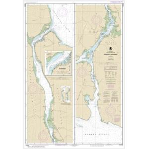
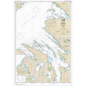
Alaska NOAA charts cover the entire Alaskan coastline and offshore waters, including the Bering Sea, Chukchi Sea, Aleutian Islands, Southeast Alaska, Prince William Sound, Cook Inlet, and Glacier Bay. They feature detailed representations of harbors, bays, fjords, and navigable waterways, providing a comprehensive view of Alaska’s maritime geography.
Alaska NOAA charts cover the entire Alaskan coastline and offshore waters, including the Bering Sea, Chukchi Sea, Aleutian Islands, Southeast Alaska, Prince William Sound, Cook Inlet, and Glacier Bay. They feature detailed representations of harbors, bays, fjords, and navigable waterways, providing a comprehensive view of Alaska’s maritime geography.
Can I Order a Custom Alaska Chart?
Yes. We can create a custom Alaska chart focused on any specific location within Alaskan waters. Choose your preferred scale, crop, and format to highlight your fishing grounds, home port, or favorite sailing route. Custom Alaska charts can be printed on paper or waterproof material and finished with mounting or framing for display. Design your Alaska chart here.
Yes. We can create a custom Alaska chart focused on any specific location within Alaskan waters. Choose your preferred scale, crop, and format to highlight your fishing grounds, home port, or favorite sailing route. Custom Alaska charts can be printed on paper or waterproof material and finished with mounting or framing for display. Design your Alaska chart here.
What Finishing Options Are Available?
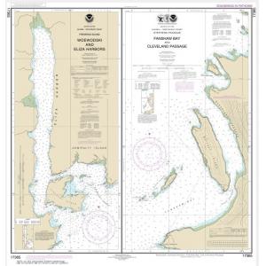
Alaska NOAA charts can be printed on standard bond paper or waterproof synthetic material. We offer mounting on foam board and custom framing options that transform these charts into ready-to-hang art. Mounted charts are ideal for pin tracking, while framed pieces create a polished decorative display. Explore finishing options here.
Alaska NOAA charts can be printed on standard bond paper or waterproof synthetic material. We offer mounting on foam board and custom framing options that transform these charts into ready-to-hang art. Mounted charts are ideal for pin tracking, while framed pieces create a polished decorative display. Explore finishing options here.
Can I Find a Specific Alaska NOAA Chart by Number?
Yes. If you know the Alaska NOAA chart number, enter it into the search bar at the top-right corner of our website to quickly locate it. You can also browse this category to visually explore available Alaska charts.
Yes. If you know the Alaska NOAA chart number, enter it into the search bar at the top-right corner of our website to quickly locate it. You can also browse this category to visually explore available Alaska charts.
What Makes Alaska NOAA Charts Ideal for Decorative Use?
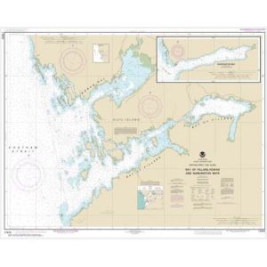
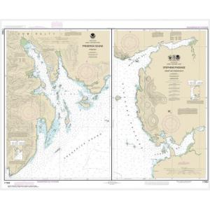
Alaska NOAA charts capture the dramatic coastlines, fjords, and waterways of one of the most remote and beautiful regions in the world. Their technical style and detailed cartography make them perfect for framing and displaying in coastal homes, lodges, or offices. Selecting a chart of a meaningful Alaskan location adds a personal touch and makes for a unique, conversation-worthy piece of art.
Alaska NOAA charts capture the dramatic coastlines, fjords, and waterways of one of the most remote and beautiful regions in the world. Their technical style and detailed cartography make them perfect for framing and displaying in coastal homes, lodges, or offices. Selecting a chart of a meaningful Alaskan location adds a personal touch and makes for a unique, conversation-worthy piece of art.
Why Buy Alaska NOAA Charts from The Map Shop?
With over 30 years of experience, The Map Shop is a trusted source for printed NOAA charts. We print every Alaska chart in-house in Charlotte, NC using high-quality materials and professional finishing techniques. Our catalog includes thousands of NOAA charts ready for quick printing, mounting, and framing, ensuring top quality and fast delivery. Read reviews here or learn more about our history here.
With over 30 years of experience, The Map Shop is a trusted source for printed NOAA charts. We print every Alaska chart in-house in Charlotte, NC using high-quality materials and professional finishing techniques. Our catalog includes thousands of NOAA charts ready for quick printing, mounting, and framing, ensuring top quality and fast delivery. Read reviews here or learn more about our history here.