
North Carolina Maps
North Carolina maps span the whole state, its counties and its larger cities. Statewide wall maps come from Kappa, Globe Turner and Map Shop, which also makes physical terrain, ZIP code and territory planner versions. Kappa adds shaded relief and thematic state maps plus county maps for Wake, Guilford, Gaston, Johnston and New Hanover. Charlotte and Raleigh come in 25 and 50 mile radius formats. Historical reproductions run from the 1775 Indian Frontiers map to a 1925 highways map. Rand McNally and National Geographic folding maps, a DeLorme atlas and City Prints map art round out the set.

Price range: $39.99 through $334.99

Price range: $39.99 through $334.99

Price range: $129.99 through $284.99

Price range: $39.99 through $324.99

Price range: $54.99 through $714.99

Price range: $59.99 through $804.99

Price range: $39.99 through $714.99

Price range: $54.99 through $704.99

Price range: $39.99 through $289.99

Price range: $39.99 through $319.99

Price range: $39.99 through $289.99

Price range: $39.99 through $704.99

Price range: $39.99 through $249.99

Price range: $39.99 through $319.99

Price range: $54.99 through $714.99
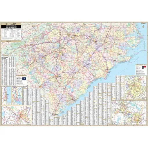
Price range: $249.99 through $1,599.99

Price range: $39.99 through $814.99

Price range: $54.99 through $809.99

Price range: $39.99 through $809.99

Price range: $79.99 through $1,079.99

Price range: $49.99 through $809.99

Price range: $249.99 through $589.99

Price range: $249.99 through $589.99

Price range: $89.99 through $1,579.99