
Map Shop service and communications were excellent. The team kept us closely informed of the status of our order and the shipping. We successfully received the maps we ordered and are very pleased.
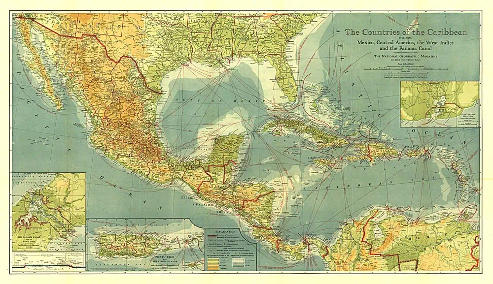
 Countries of the Caribbean – Published 1922 by National Geographic


