Colorado Raised Relief Map
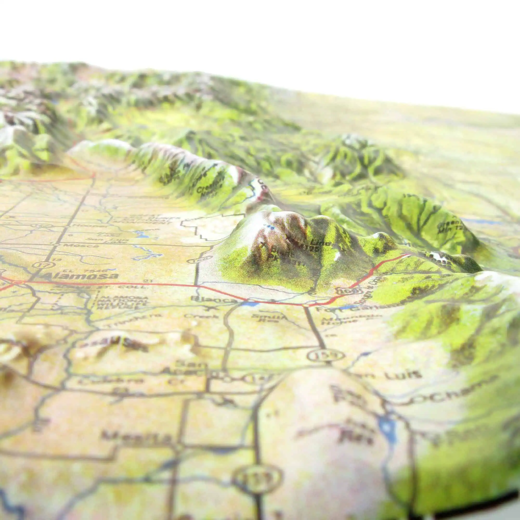
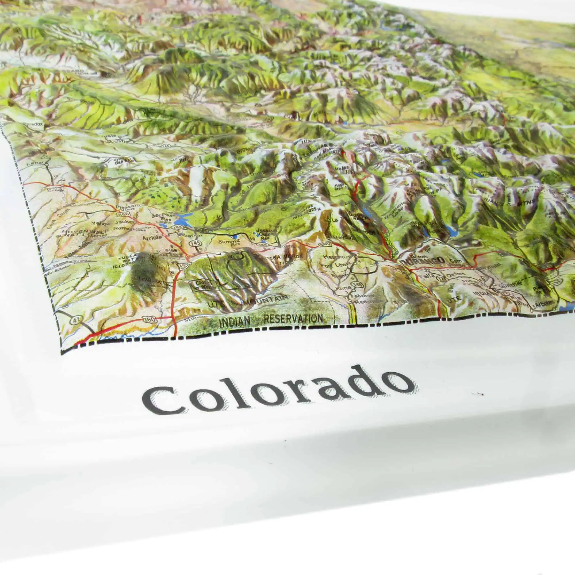
This raised relief map of Colorado uses Map Shop’s Natural Color Relief treatment rather than a standard cartographic palette. Forest, bare rock, snowfield, and plains grassland appear closer to their actual colors, laid over terrain you can feel. Printed on rigid vinyl under the Hubbard Scientific brand, each map is individually heat-treated and vacuum-formed over a custom Colorado mold at a scale of 1:1,000,000.
The map captures the full range of Colorado’s terrain:
- The Front Range rising above Denver and the plains
- The San Juan Mountains through the southwest high country
- The San Luis Valley held between ranges
- The Western Slope falling away toward Utah
- The Eastern Plains flattening out toward Kansas
Colorado holds the world’s deepest hot spring at Pagosa Springs on the southern edge of the San Juans. Color, shading, and three-dimensional relief work together to give a clear sense of elevation changes and landforms across the state.
Available unframed, mounted, or framed in black or walnut molding, with no glass over the relief. Suitable as a classroom reference or a wall piece.


