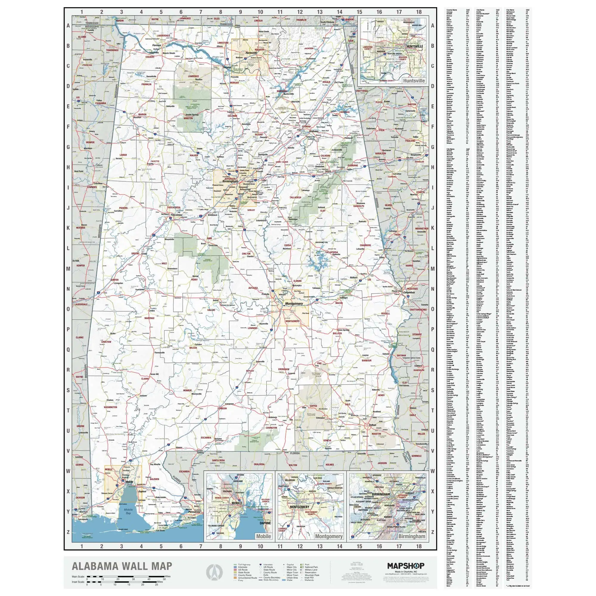

Alabama State Wall Map
Made in house by Map Shop, this map provides a large, clear view of the whole state in one place. It covers all 67 counties, major and minor roads, and cities from Huntsville and Decatur in the north to Mobile and Gulf Shores on the coast.
- County lines and county seats across Alabama
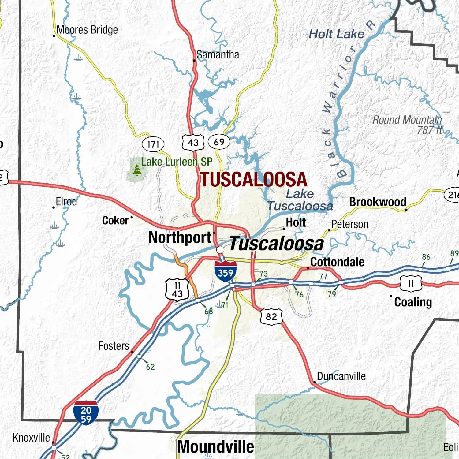
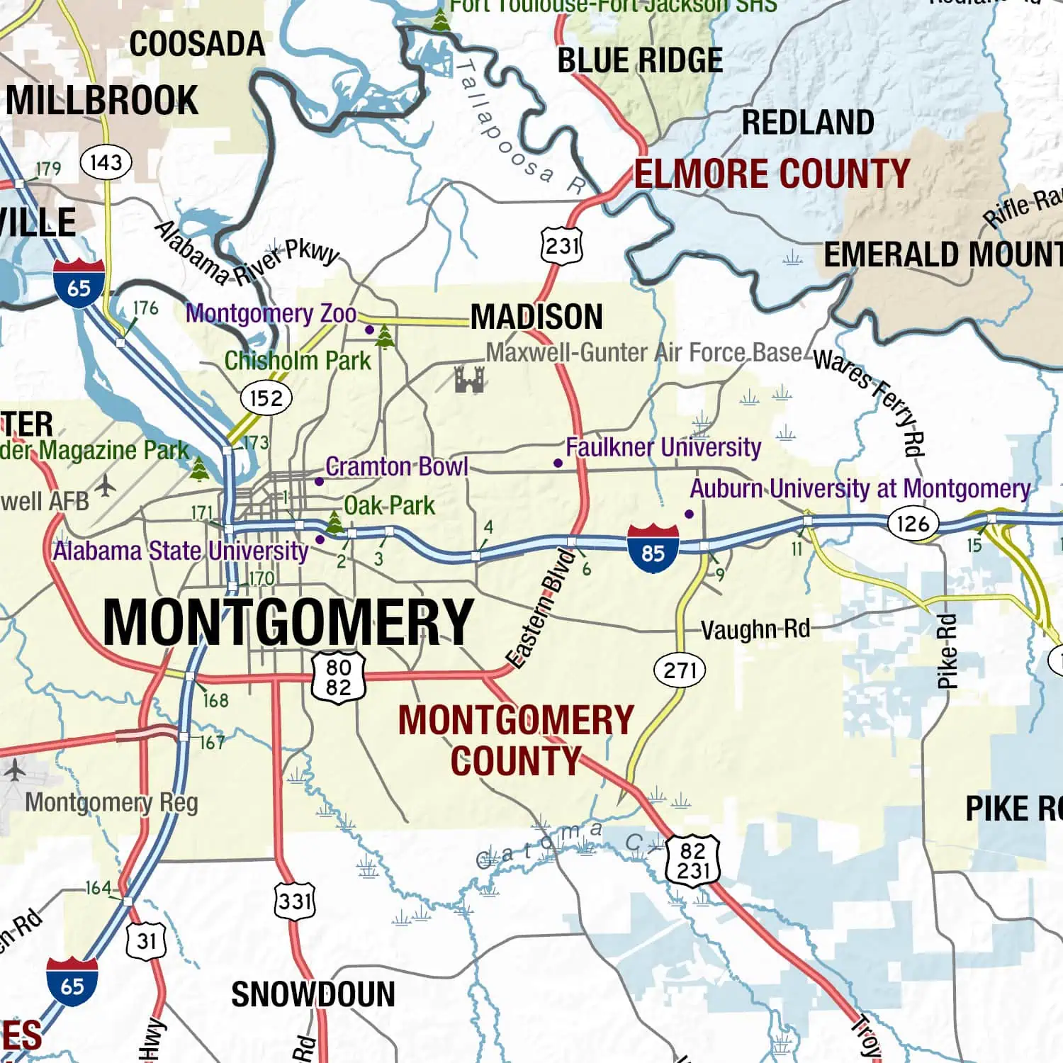
- Interstates, US highways, and state routes
- Rivers and lakes, including the Tennessee River valley and Mobile Bay
- Larger, easy to read type for viewing at a distance
Because Map Shop produces this map directly, the layout stays clean and current. It works well in planning rooms, classrooms, and business lobbies where people need to reference the whole state from across the room.





