


What Are Middle School Combo Maps?
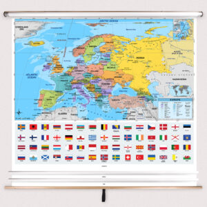
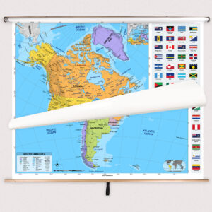
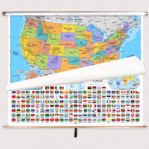
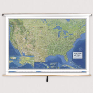
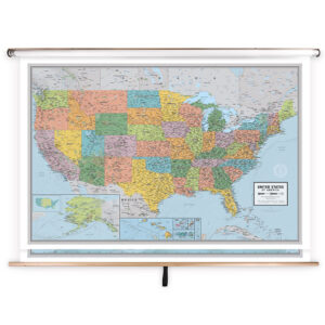
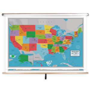
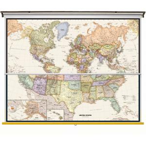
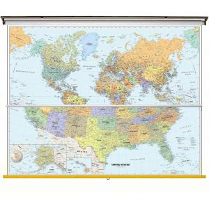
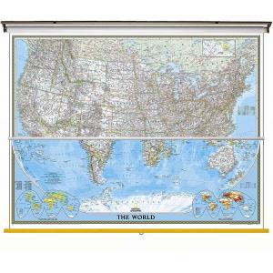
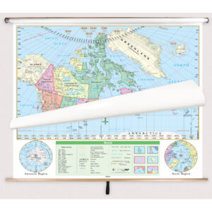
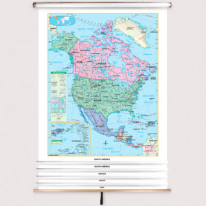
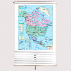
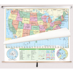
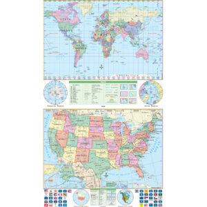
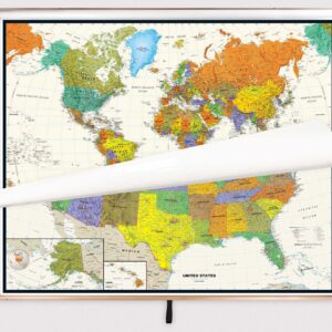
Middle school combo maps are large-format educational maps mounted together on a single spring roller, allowing teachers to access multiple geographic views without separate installations. Common combinations include U.S. and world maps or three-map sets that add regional or thematic maps. Designed for grades 6–8, these combo maps offer more detail than elementary sets, supporting middle school curriculum standards in geography, history, and social studies.
Middle school combo maps are large-format educational maps mounted together on a single spring roller, allowing teachers to access multiple geographic views without separate installations. Common combinations include U.S. and world maps or three-map sets that add regional or thematic maps. Designed for grades 6–8, these combo maps offer more detail than elementary sets, supporting middle school curriculum standards in geography, history, and social studies.
What Are the Different Types of Middle School Combo Maps?
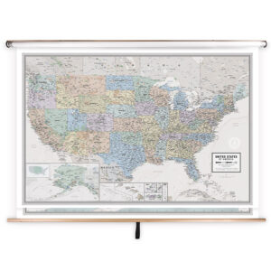
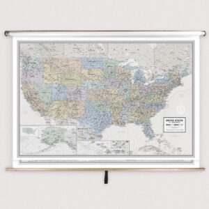
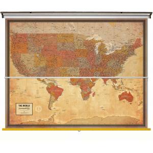
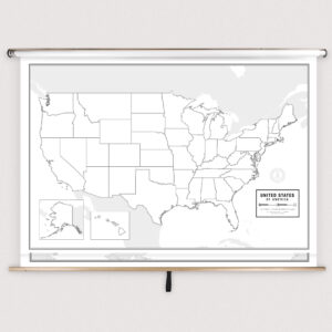
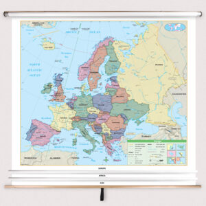
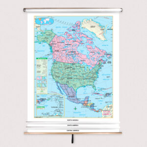
Our Middle School Combo Maps include popular configurations tailored for developing learners. Two-map sets usually feature U.S. and world maps, while three-map sets often add a continent or thematic map. Some sets combine political and physical maps to provide multiple geographic perspectives. Each product is designed for interactive lessons, with clear labeling and detailed features that suit middle school classrooms.
Our Middle School Combo Maps include popular configurations tailored for developing learners. Two-map sets usually feature U.S. and world maps, while three-map sets often add a continent or thematic map. Some sets combine political and physical maps to provide multiple geographic perspectives. Each product is designed for interactive lessons, with clear labeling and detailed features that suit middle school classrooms.
What Are the Benefits of Using Combo Maps in Middle School Classrooms?
Combo maps allow teachers to seamlessly transition between different maps during lessons, saving space and improving teaching efficiency. With multiple maps on one roller, educators can illustrate how local, national, and global geographies connect, enhancing students’ understanding of spatial relationships. The laminated, markable surfaces support interactive instruction and help students visualize complex geographic concepts.
Combo maps allow teachers to seamlessly transition between different maps during lessons, saving space and improving teaching efficiency. With multiple maps on one roller, educators can illustrate how local, national, and global geographies connect, enhancing students’ understanding of spatial relationships. The laminated, markable surfaces support interactive instruction and help students visualize complex geographic concepts.
Are Middle School Combo Maps Good for Classrooms, Offices, and Homes?
Yes. While specifically designed for classrooms, these combo sets are also useful in homeschooling environments, educational centers, and offices that require quick access to multiple geographic views. Laminated for durability and easy cleaning, these maps are ideal for any learning environment where detailed, multi-map references are needed.
Yes. While specifically designed for classrooms, these combo sets are also useful in homeschooling environments, educational centers, and offices that require quick access to multiple geographic views. Laminated for durability and easy cleaning, these maps are ideal for any learning environment where detailed, multi-map references are needed.
What Grade Levels Are Middle School Combo Maps Designed For?
Middle School Combo Maps are intended for students in grades 6–8. These maps include more political, physical, and thematic detail than elementary-level sets while remaining accessible for younger learners. High school and college-level combo maps provide even greater complexity for advanced studies.
Middle School Combo Maps are intended for students in grades 6–8. These maps include more political, physical, and thematic detail than elementary-level sets while remaining accessible for younger learners. High school and college-level combo maps provide even greater complexity for advanced studies.
How Do I Decorate with Middle School Combo Maps?
Combo maps can enhance the classroom visually while remaining functional. When retracted, they stay neatly stored above whiteboards or chalkboards. When displayed, they provide a colorful, detailed teaching tool that draws student interest. At home, combo maps can be installed in study areas for interactive learning and as an educational décor element.
Combo maps can enhance the classroom visually while remaining functional. When retracted, they stay neatly stored above whiteboards or chalkboards. When displayed, they provide a colorful, detailed teaching tool that draws student interest. At home, combo maps can be installed in study areas for interactive learning and as an educational décor element.
Can I Create a Custom Middle School Combo Map for My Classroom?
Yes. We offer custom middle school combo maps tailored to specific teaching needs. You can combine different maps—such as U.S., world, and continent maps—onto a single roller or request branded district-specific designs. Custom sets are assembled in-house with premium materials to ensure long-lasting classroom use. Learn more at this page.
Yes. We offer custom middle school combo maps tailored to specific teaching needs. You can combine different maps—such as U.S., world, and continent maps—onto a single roller or request branded district-specific designs. Custom sets are assembled in-house with premium materials to ensure long-lasting classroom use. Learn more at this page.
How Do I Install Middle School Combo Maps?
Installing middle school combo maps is straightforward. They are designed for mounting above whiteboards or on flat walls, with options for wall and ceiling installation. Maps with backboards arrive pre-attached for easy hanging. Following proper instructions ensures secure installation and smooth spring roller operation. Detailed steps are available at this link.
Installing middle school combo maps is straightforward. They are designed for mounting above whiteboards or on flat walls, with options for wall and ceiling installation. Maps with backboards arrive pre-attached for easy hanging. Following proper instructions ensures secure installation and smooth spring roller operation. Detailed steps are available at this link.
Do You Sell Mounting Hardware for Middle School Combo Maps?
Yes. We provide mounting hardware, including brackets, backboards, and accessories designed for middle school combo maps. Each order includes backboards and wall brackets, but screws and anchors must be selected based on the wall type. Browse hardware options at this page.
Yes. We provide mounting hardware, including brackets, backboards, and accessories designed for middle school combo maps. Each order includes backboards and wall brackets, but screws and anchors must be selected based on the wall type. Browse hardware options at this page.
What Materials Are Used for Middle School Combo Maps?
Each combo set is printed on heavyweight paper, laminated for durability, and mounted on a spring roller for frequent classroom use. The laminated finish supports dry-erase and wet-erase markers, enabling interactive instruction. Powder-coated steel backboards provide stability and ensure these maps last for years of teaching.
Each combo set is printed on heavyweight paper, laminated for durability, and mounted on a spring roller for frequent classroom use. The laminated finish supports dry-erase and wet-erase markers, enabling interactive instruction. Powder-coated steel backboards provide stability and ensure these maps last for years of teaching.
What Do Maps Teach Middle School Students?
Combo maps help middle school students understand how geographic regions relate to one another. By offering multiple perspectives on a single roller, these maps support lessons on trade routes, cultural diffusion, migration, and environmental studies. Teachers can guide students in analyzing relationships between political and physical features, enhancing spatial reasoning and critical thinking skills.
Combo maps help middle school students understand how geographic regions relate to one another. By offering multiple perspectives on a single roller, these maps support lessons on trade routes, cultural diffusion, migration, and environmental studies. Teachers can guide students in analyzing relationships between political and physical features, enhancing spatial reasoning and critical thinking skills.
What Are the Available Sizes of Middle School Combo Maps?
The sizes of middle school combo maps vary based on the included maps and their intended use. Larger formats suit group instruction, while smaller versions fit compact classrooms. Specific dimensions for each set are provided on the individual product pages in this category.
The sizes of middle school combo maps vary based on the included maps and their intended use. Larger formats suit group instruction, while smaller versions fit compact classrooms. Specific dimensions for each set are provided on the individual product pages in this category.
What is BrightWay Educational?
BrightWay Educational is our exclusive line of classroom maps, including many middle school combo sets. Designed by educators and cartographers, these maps feature updated political boundaries, detailed cartography, and durable construction ideal for grades 6–8. Learn more about BrightWay Educational maps here.
BrightWay Educational is our exclusive line of classroom maps, including many middle school combo sets. Designed by educators and cartographers, these maps feature updated political boundaries, detailed cartography, and durable construction ideal for grades 6–8. Learn more about BrightWay Educational maps here.
Why Choose The Map Shop for Middle School Combo Maps?
Since 1990, The Map Shop has supplied high-quality educational maps to schools nationwide. Each middle school combo set is hand-finished in our Charlotte, NC facility with premium materials and professional assembly techniques. Our maps are built for durability, accuracy, and engaging instruction. Read customer reviews here or learn more about our story here.
Since 1990, The Map Shop has supplied high-quality educational maps to schools nationwide. Each middle school combo set is hand-finished in our Charlotte, NC facility with premium materials and professional assembly techniques. Our maps are built for durability, accuracy, and engaging instruction. Read customer reviews here or learn more about our story here.