
Your maps are very detailed & easy to manage. We are very pleased to have them for an upcoming trip .
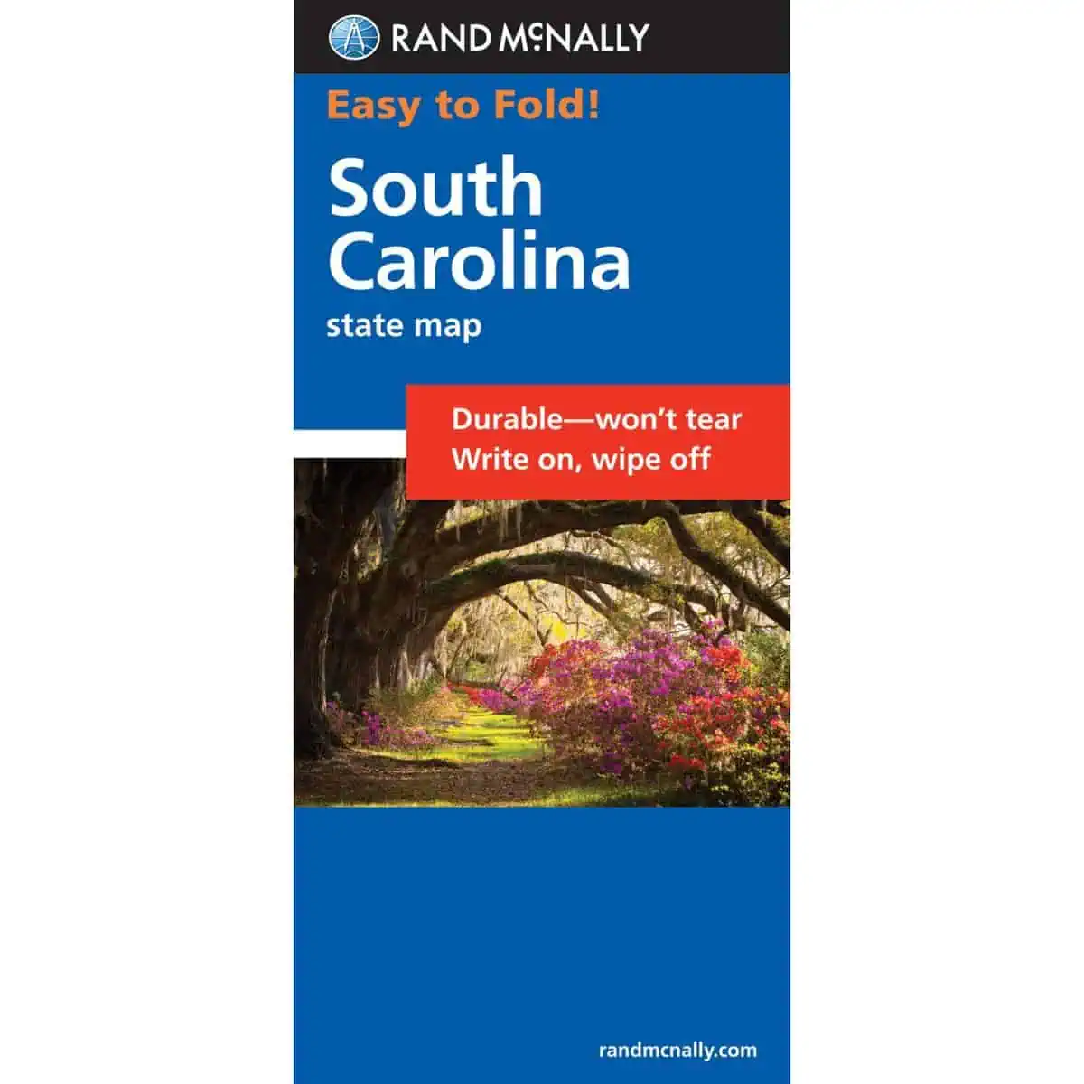
 Rand McNally – South Carolina, Easy to Fold – Folding Travel Map
$10.99
The durable and convenient Rand McNally maps will take all the wear and tear your journey can dish out.
In stock
Rand McNally South Carolina Easy to Fold Laminated Map
A laminated folding map of South Carolina from Rand McNally’s Easy to Fold series. Mark a route in pen, wipe it clean, and refold it without fumbling. Paper works where cell signal drops out, and Map Shop stocks it as a dependable backup to GPS.
| Publisher | Rand McNally |
|---|---|
| Language | English |
| Print Series | |
| Published | 2022 |
Your maps are very detailed & easy to manage. We are very pleased to have them for an upcoming trip .
Rand McNally – South Carolina, Easy to Fold – Folding Travel Map