Colorado Raised Relief Map
Colorado’s lowest point sits above 3,300 feet, and the state still climbs more than 11,000 feet from there to its highest peaks. Molded relief is the only format that shows that honestly.
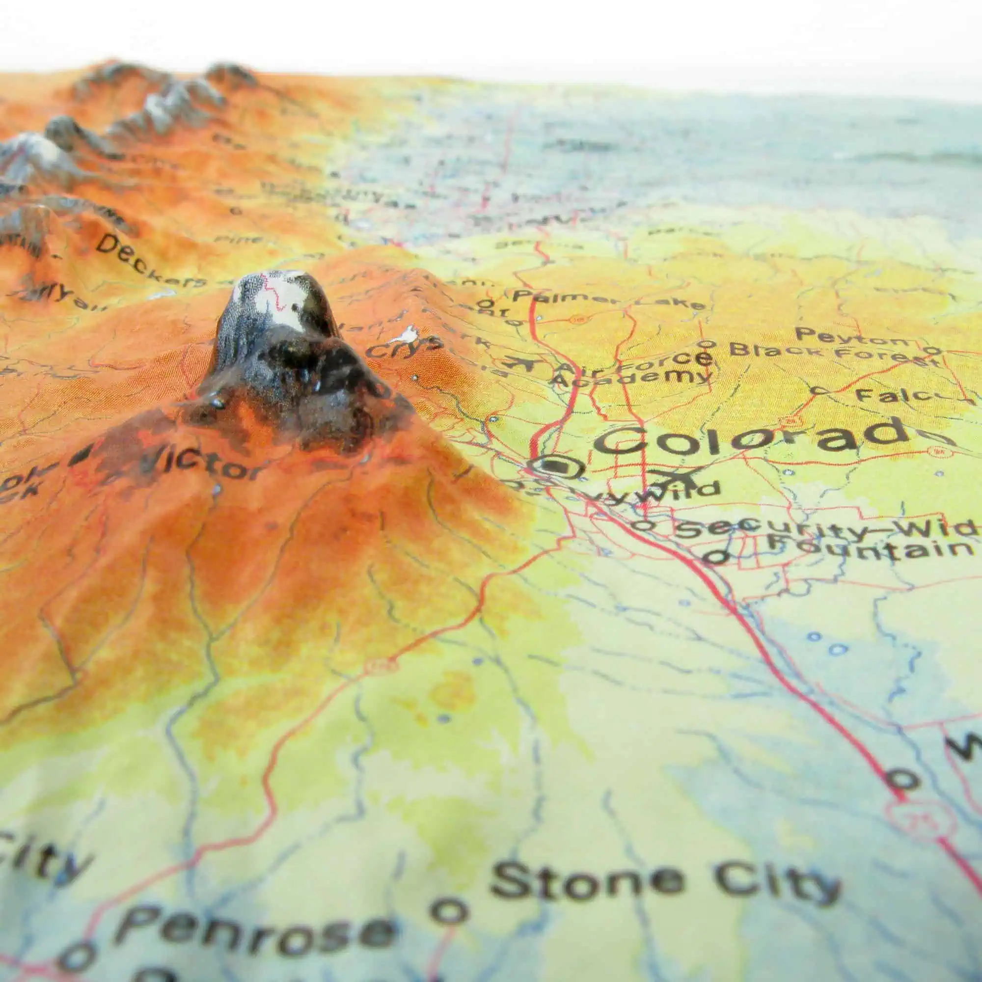
Map Shop vacuum-forms this map over a custom Colorado mold under the Hubbard Scientific brand, with each print heat-treated by hand. At 1:1,250,000 the whole state reads at once: plains running flat to the eastern border, the Front Range standing up sharply behind Denver, and range after range stacking west from there.
What the surface separates:
- The Front Range and the abrupt eastern wall of the Rockies
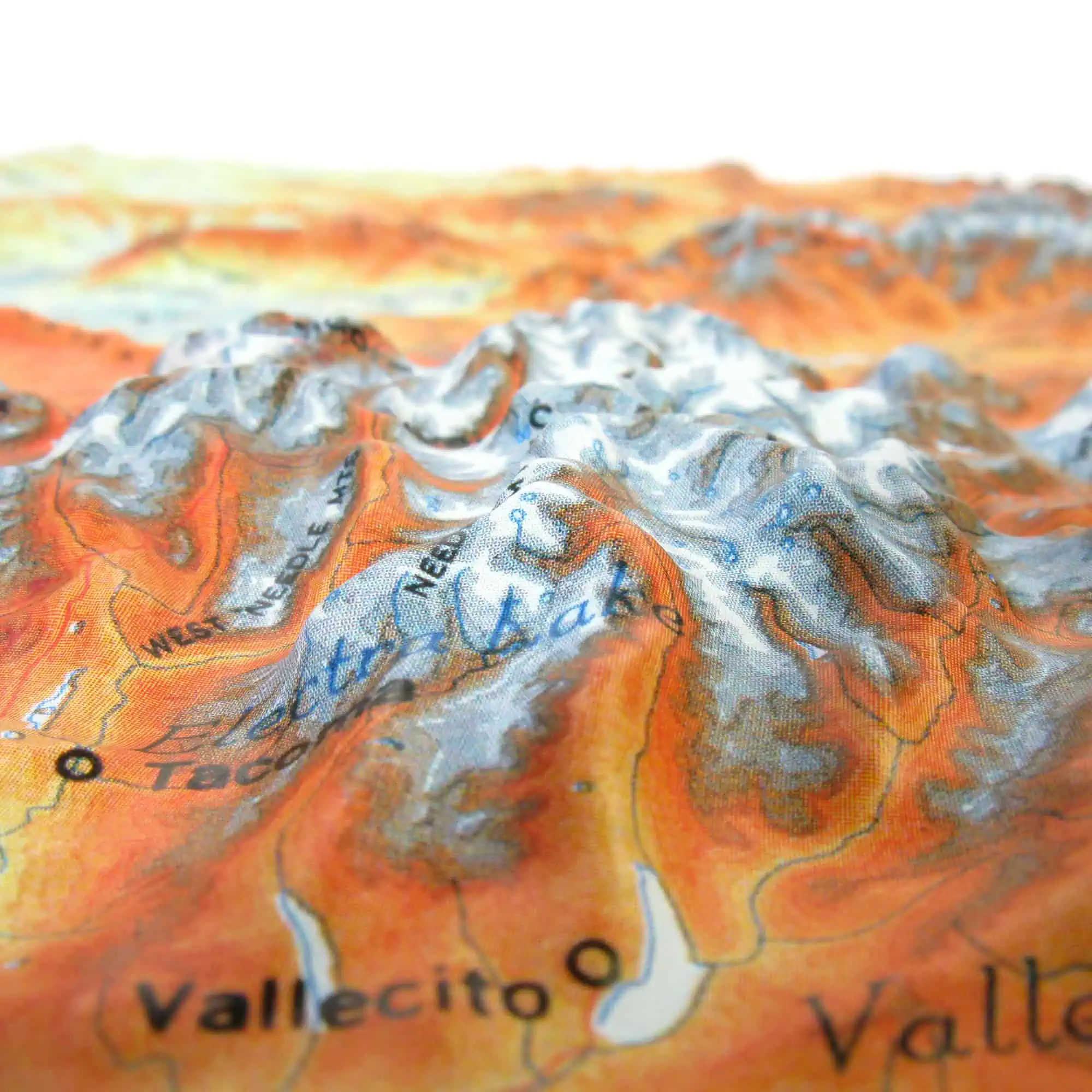
- The San Luis Valley, a high flat basin ringed by mountains
- The Western Slope dropping toward the Utah line
- The Eastern Plains, flat enough that the contrast does the work
Color and shading run with the molded terrain, so elevation zones read without anyone checking a legend. Available unframed, mounted on foam core, or framed in black or walnut molding, with no glass so the relief stays open to touch.


