
Awesome service...I have been an independent businessman for the last 35 years, until very recently.
I am always happy to support small businesses.
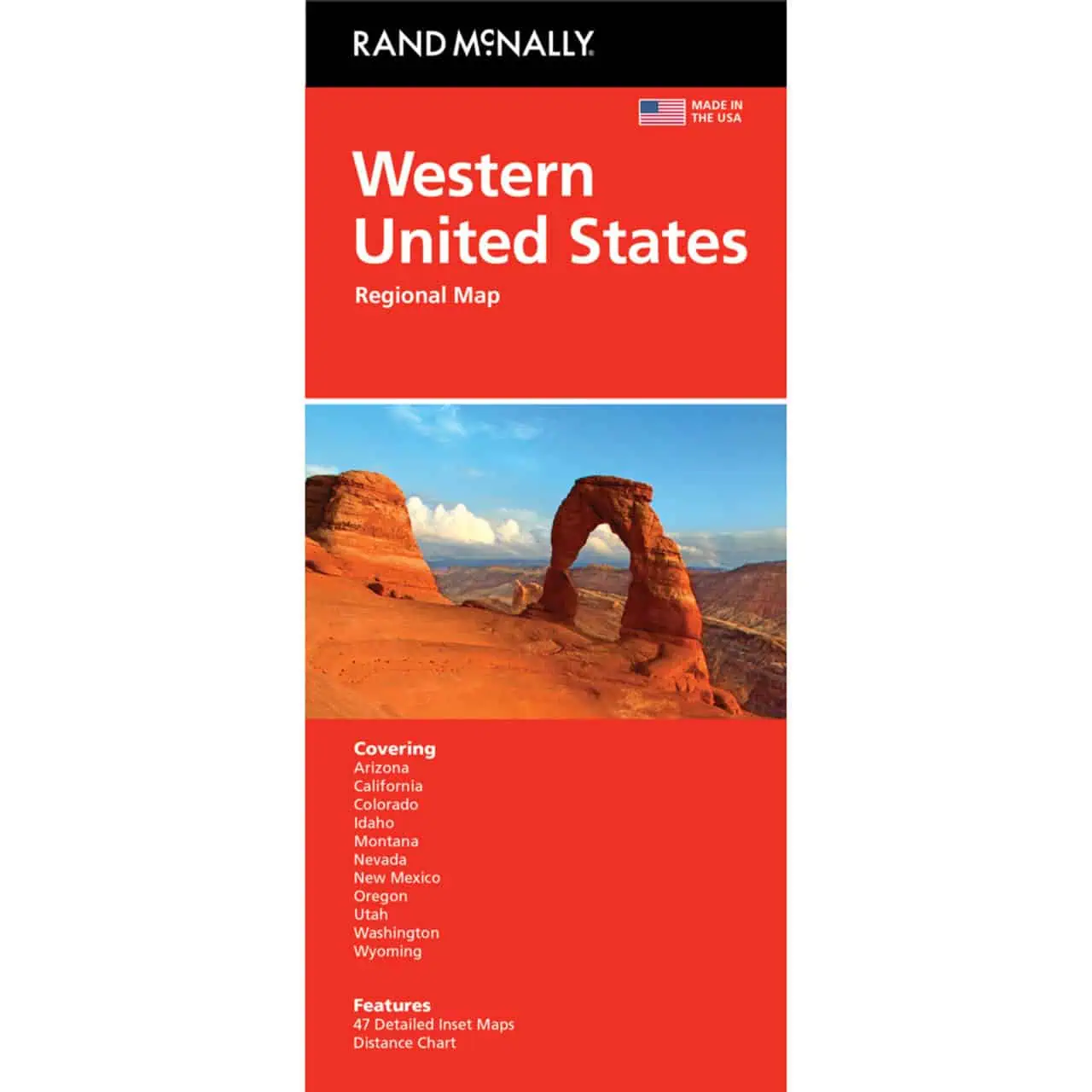
 Rand McNally – Western United States – Folding Travel Map


$9.99
The durable and convenient Rand McNally maps will take all the wear and tear your journey can dish out.
In stock
Western United States
A folding road map from Rand McNally covering eleven states from the Pacific coast to the Rocky Mountains, part of the Easy to Read line featuring larger type than the standard Rand McNally Folded Map.
| Publisher | Rand McNally |
|---|---|
| Language | English |
| Published | 2021 |
Awesome service...I have been an independent businessman for the last 35 years, until very recently.
I am always happy to support small businesses.
Rand McNally – Western United States – Folding Travel Map