Texas State Wall Map
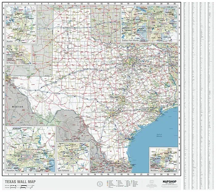
Built in-house by Map Shop, this is one of the most complete single-sheet Texas maps available. Map Shop drew this map from scratch with no licensed base map and no generic template.
The map includes:
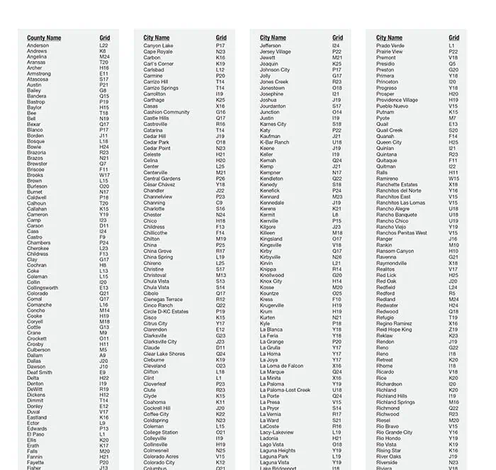
- Every city, town, and township plotted statewide
- All federal and state highways with exit numbers
- All 254 counties, expressways, major airports, and wilderness areas
- Military installations and federal and state recognized Indigenous land
- Hillshade terrain relief with prominent mountains and major waterbodies and rivers
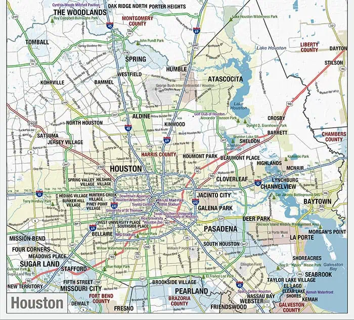
Six metro insets add street-level detail for the state’s largest cities, including local roads, sports stadiums, colleges and universities, zoos and aquariums, and outdoor concert venues.
The color scheme uses neutral marine tones and a restrained land palette that holds up in offices, classrooms, and living rooms. Available across paper, laminated, mounted, railed, and framed options.





