
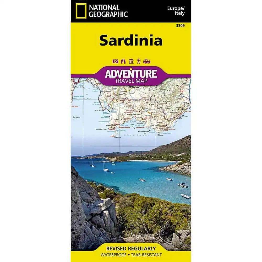


National Geographic – Sardinia [Italy] – Adventure Folding Travel Map
$14.95
National Geographic’s Sardinia Adventure Map provides global travelers with the perfect combination of detail and perspective in a highly functional travel tool.
Publication: 2019 || Size: 37.75″ x 25.5″
Out of stock
National Geographic’s Sardinia Adventure Map provides global travelers with the perfect combination of detail and perspective in a highly functional travel tool. Cities and towns are easy to find with the map’s helpful index. Expressways, major routes, and other roads are clearly designated and include distance in kilometers so travelers can easily plan their best route.
Hundreds of points of interest and diverse and unique destinations are highlighted including beaches, caves, campsites, monuments, churches, castles, and more. Sardinia’s northern half is shown on the front side of the print map including the cities of Sassari, Castelsardo, Olbia, La Maddalena, and Nuoro. The reverse side of the map covers the southern portion of the region and shows the cities of Cagliari, Oristano, Iglesia, Sant’ Antioco, and Tortoli. Sardinia is the second largest island in the Mediterranean Sea. Unlike its sister island Sicily, Sardinia boasts extensive mountain ranges, wide valleys, and broad plateaus.
The island is one of the most geologically ancient bodies of land in Europe and unlike Italy and Sicily it is not earthquake-prone. Although Sardinia is surrounded by the clear waters of the Mediterranean, the island itself is relatively dry and has only one natural lake. However, several man-made lakes have been constructed, including Lake Omodeo which was constructed in the 1920’s and was for many years the largest reservoir in Europe. Every Adventure Map is printed on durable synthetic paper, making them waterproof, tear-resistant and tough — capable of withstanding the rigors of international travel.
We love technology and enjoy the convenience of GPS, but you can’t plan a trip on a phone screen and navigation doesn’t work where there’s no cell signal. Start your next trip on the right foot with a high-quality folding travel map. Make the most of your next adventure, even if you lose GPS or cell signals. You’ll always be on the correct route with our folding travel maps. Your adventure starts here!
What is an Adventure Map?
Adventure Maps are the most authoritative maps for touring international destinations. Each waterproof and tear-resistant map provides travelers with the perfect combination of detail and perspective, highlighting points of interest for those venturing outside city centers. From the plains of France to the top of Mt. Everest these maps cover the hottest adventure destinations.
About the Author
Founded in 1915 as the Map Department of the National Geographic Society, National Geographic Maps is responsible for illustrating the world around us through the art and science of mapmaking. Today, National Geographic Maps continues this mission by creating the world’s best wall maps, outdoor recreation maps, travel maps, atlases and globes that inspire people to care about and explore their world.
Back-Orders & Out-of-Stock Items
If an item is out of stock, it will ship as soon as it becomes available. The expected timeframe is shown in the “Normally Ships in” section below the Add to Cart button. If your order is on backorder, you will receive email updates as we get more information. Our goal is always to deliver your products as quickly as possible.
Returns
We accept free returns within 30 days of delivery. To start a return, please contact us within 30 days to receive a return authorization number. Once we receive the return, we will issue your refund within three business days. Please note: original shipping charges are non-refundable and return shipping costs are your responsibility unless the error was ours.
Returns are not accepted on clearance items. All clearance sales are final.
| Publisher | National Geographic |
|---|---|
| Language | English |
| Print Series | |
| Published | 2019 |