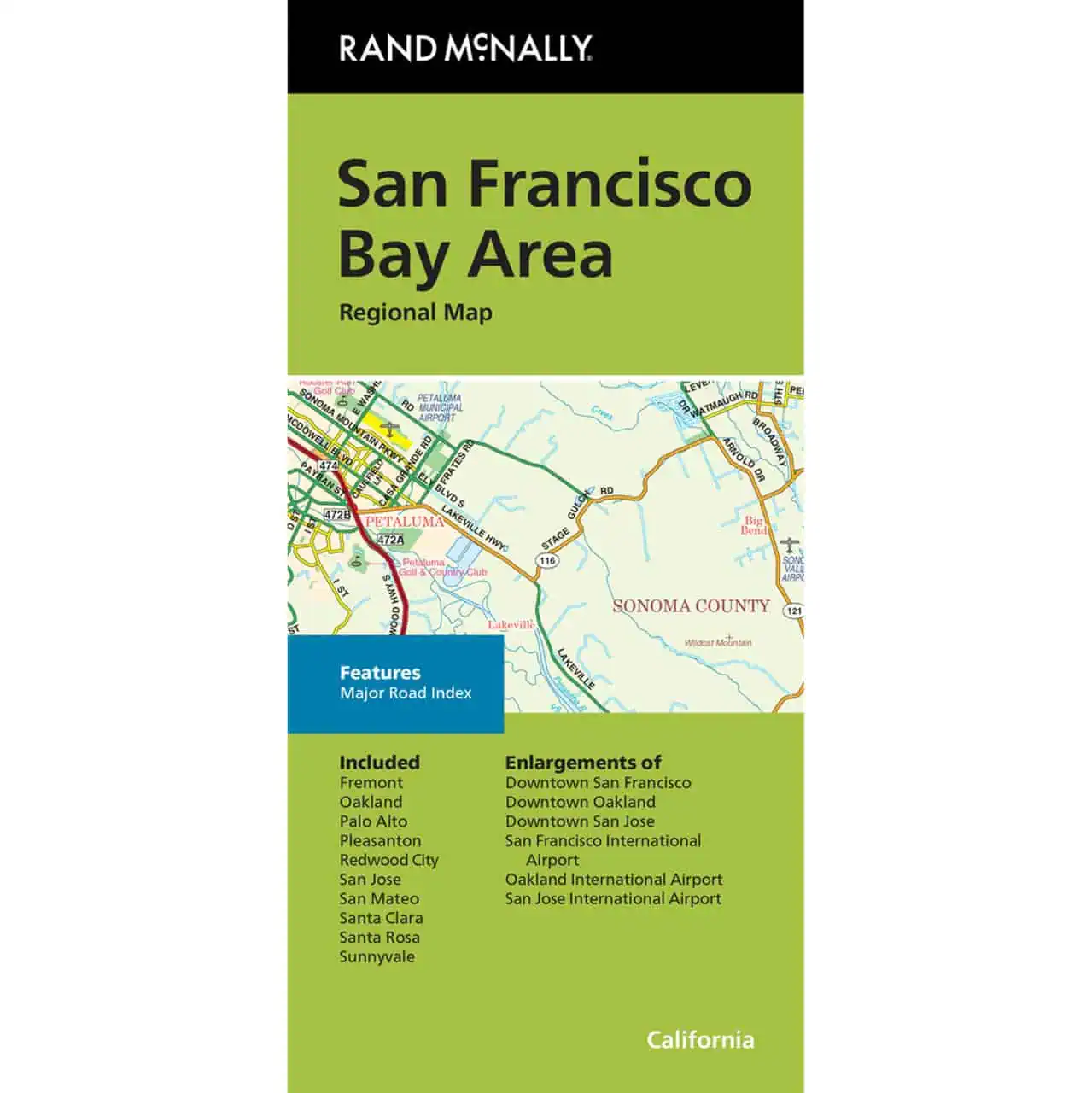
San Francisco Bay Area Map
San Francisco Bay Area folding travel map from Rand McNally covers the whole Bay, from Santa Rosa in the north down through the Peninsula and into the South Bay. Cell service drops in the coastal hills and canyons, so road trippers and rental car drivers keep a paper copy in the glove box.
- Published by Rand McNally, using their own cartography.
- Covers Oakland, Fremont, Pleasanton, Palo Alto, Redwood City, San Mateo, Santa Clara, Sunnyvale, San Jose and Santa Rosa.
- Interstate, U.S., state and county highways are labeled by class in full color.
- Shows parks, airports, schools, shopping malls, points of interest and county boundaries.
- Includes downtown and vicinity maps for closer street detail.
- Full street index plus a separate major street index and points of interest list.
- Clear legend and a folded format sized for a glove box or daypack.
A practical reference for business travelers working the Silicon Valley corridor and visitors driving between the East Bay, Peninsula and Wine Country.

