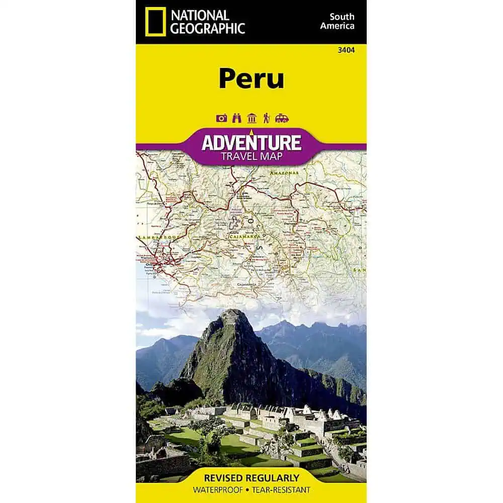
Peru Adventure Map – National Geographic
A Peru travel map from the National Geographic Adventure series, built for trips that go well beyond Lima and Cusco. Trekkers and overland drivers carry it into the Andes, the desert coast, and the Amazon basin, where GPS and cell signal often drop out.
- Publisher: National Geographic Maps, Adventure Map series
- Material: waterproof, tear-resistant synthetic paper that folds into a daypack or glove box
- Northern section: Loreto, Tumbes, Piura, Amazonas, Lambayeque, Cajamarca, La Libertad, Áncash, Huánuco, and Ucayali, from the Ecuador, Colombia, and Brazil borders south to Chimbote
- Southern section: Lima, Ica, Arequipa, Moquegua, Tacna, Puno, Cusco, Madre de Dios, Apurímac, Ayacucho, Huancavelica, Junín, and Pasco
- Roads: highway and roadway designations with distances, plus four-wheel-drive routes and footpaths into remote areas
- Settlements: thousands of towns and villages
- Points of interest: hundreds marked, including World Heritage sites, archaeological sites, churches, and museums
- Natural sites: national parks and reserves, wildlife centers, beaches, caves, waterfalls, and spas
- Common uses: planning Andean treks and Amazon lodge stays, plotting rental-car drives down the coast, and briefing tour clients
Map Shop stocks it for independent travelers and tour guides alike.


