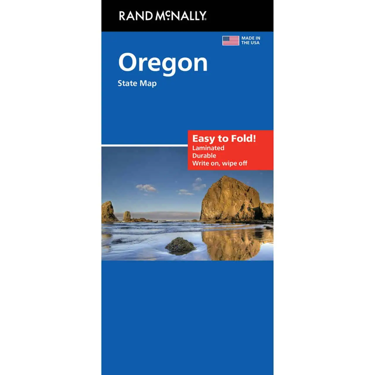
Rand McNally Easy to Fold Oregon State Map, Laminated
Oregon road map from Rand McNally’s Easy to Fold series, laminated to hold up to real road use. It covers the whole state, from the Pacific coast and US 101 to the high desert and the Snake River border with Idaho.
- Publisher: Rand McNally
- Series: Easy to Fold, so it closes back up without fumbling
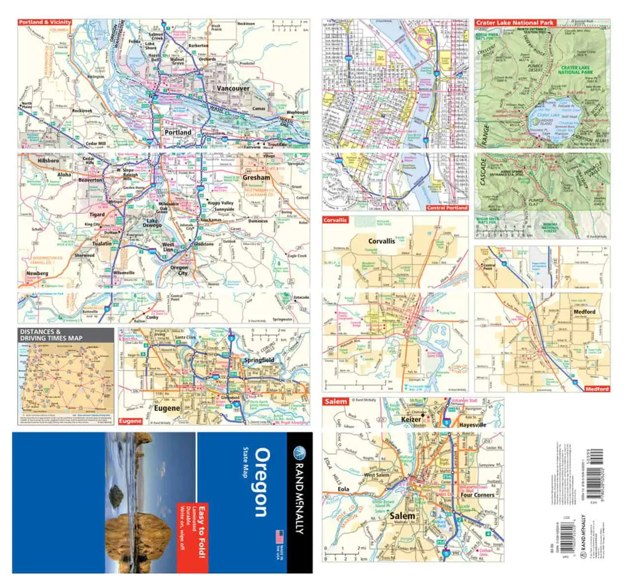
- Territory: the full state of Oregon, including Portland, Salem, Eugene, Bend, and Medford
- Labeled: highways, county boundaries, and points of interest
- Reference tools: a quick-reference legend and a city index for finding towns fast
- Surface: heavy-duty lamination you can mark a route on, then wipe clean and reuse
- Durability: tear resistant and made for repeated folding
- Layout: folds to display individual map sections, so you can open just the region you need
- Cartography: full color, with Rand McNally’s enhanced cartography
Map Shop ships this as a stocked item, not print on demand.


