
Everything was perfect. Lovely, high quality maps packed with great deal of care and shipped fast. Thank you!
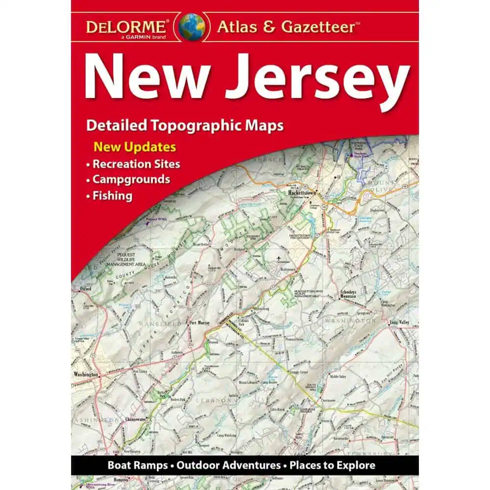
 New Jersey Atlas & Gazetteer by DeLorme
$29.95
With an incredible wealth of detail, DeLorme’s Atlas & Gazetteer is the perfect companion for exploring the outdoors.
In stock
New Jersey Atlas & Gazetteer by DeLorme splits the state into 67 topographic pages, carrying you from the Kittatinny Ridge and the Highlands down through the Pine Barrens to Cape May. Back roads, sand roads and trailheads show up here that a standard road atlas leaves off.
Surf anglers heading for the barrier islands, bow hunters sorting out zone lines, and paddlers planning a Delaware River float keep a copy behind the truck seat. Scout leaders and Pine Barrens day-trippers use it the same way. Map Shop stocks the full DeLorme state series.
| Map Scale | No Scale |
|---|---|
| Publisher | Delorme |
| Language | English |
| Published | 2025 |
Everything was perfect. Lovely, high quality maps packed with great deal of care and shipped fast. Thank you!
New Jersey Atlas & Gazetteer by DeLorme