What Are Eastern Africa, Middle East, and India NGA Charts?
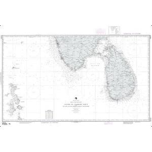
These NGA charts are official maritime maps historically produced by the National Geospatial-Intelligence Agency to document the waterways, ports, and shipping routes of Eastern Africa, the Middle East, and the Indian subcontinent. They provide detailed hydrographic information including depth soundings, harbor layouts, and major navigational routes. While no longer updated for navigation, these charts remain valuable for reference and as decorative pieces highlighting these strategic maritime regions.
These NGA charts are official maritime maps historically produced by the National Geospatial-Intelligence Agency to document the waterways, ports, and shipping routes of Eastern Africa, the Middle East, and the Indian subcontinent. They provide detailed hydrographic information including depth soundings, harbor layouts, and major navigational routes. While no longer updated for navigation, these charts remain valuable for reference and as decorative pieces highlighting these strategic maritime regions.
What Are the Different Types of Eastern Africa, Middle East, and India NGA Charts?
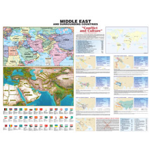
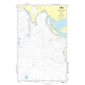
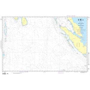
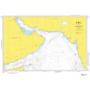
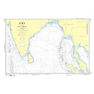
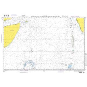
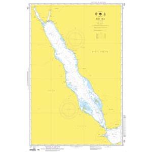
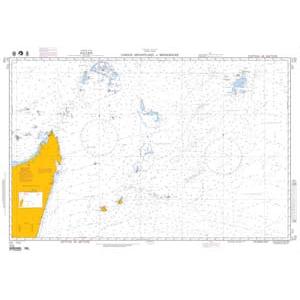
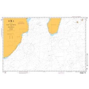
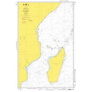
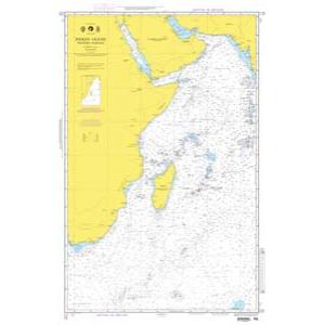
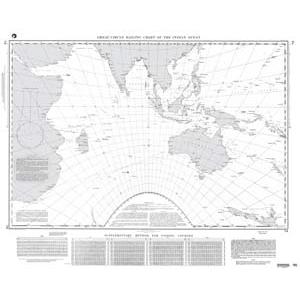
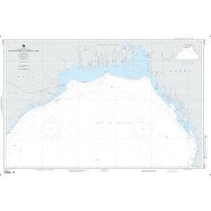
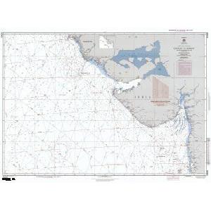
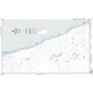
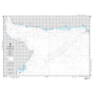
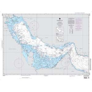
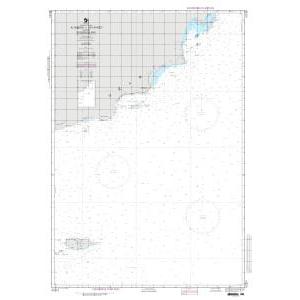
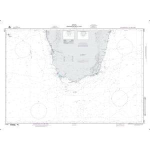
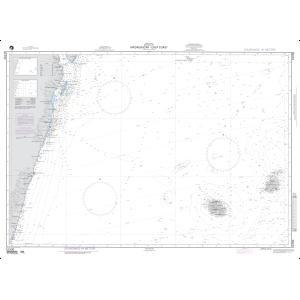
Our NGA chart collection includes maps covering the entire eastern coastline of Africa, including Somalia, Kenya, and Tanzania. Middle Eastern charts detail the Red Sea, Arabian Gulf, Gulf of Oman, and key ports of Saudi Arabia, Yemen, Oman, and the UAE. Indian charts cover the Arabian Sea, Bay of Bengal, and major ports like Mumbai and Chennai. These charts also document important shipping lanes used for centuries in global trade. They are ideal for collectors, maritime historians, and authentic wall décor.
Our NGA chart collection includes maps covering the entire eastern coastline of Africa, including Somalia, Kenya, and Tanzania. Middle Eastern charts detail the Red Sea, Arabian Gulf, Gulf of Oman, and key ports of Saudi Arabia, Yemen, Oman, and the UAE. Indian charts cover the Arabian Sea, Bay of Bengal, and major ports like Mumbai and Chennai. These charts also document important shipping lanes used for centuries in global trade. They are ideal for collectors, maritime historians, and authentic wall décor.
Are Eastern Africa, Middle East, and India NGA Charts Updated?
No. NGA printed charts are no longer updated for modern navigation. They are preserved for their historical and cartographic value. For current information in a printed format, we can create custom charts using the latest digital maritime data. Create your custom chart here.
No. NGA printed charts are no longer updated for modern navigation. They are preserved for their historical and cartographic value. For current information in a printed format, we can create custom charts using the latest digital maritime data. Create your custom chart here.
What Areas Do Eastern Africa, Middle East, and India NGA Charts Cover?
These NGA charts cover the eastern coast of Africa, including ports in Somalia, Kenya, and Tanzania; Middle Eastern waters from the Red Sea to the Persian Gulf; and the full Indian coastline including the Arabian Sea and Bay of Bengal. Key shipping routes through the Suez Canal, Strait of Hormuz, and Indian Ocean approaches are also detailed.
These NGA charts cover the eastern coast of Africa, including ports in Somalia, Kenya, and Tanzania; Middle Eastern waters from the Red Sea to the Persian Gulf; and the full Indian coastline including the Arabian Sea and Bay of Bengal. Key shipping routes through the Suez Canal, Strait of Hormuz, and Indian Ocean approaches are also detailed.
Can I Order a Custom Eastern Africa, Middle East, or India Chart?
Yes. We can create a custom NGA chart focused on any location within these regions. Specify your preferred port, trade route, or coastline, and we will produce a printed chart tailored to your needs. Custom charts can be printed on standard or waterproof material and finished with mounting or framing for display. Design your custom chart here.
Yes. We can create a custom NGA chart focused on any location within these regions. Specify your preferred port, trade route, or coastline, and we will produce a printed chart tailored to your needs. Custom charts can be printed on standard or waterproof material and finished with mounting or framing for display. Design your custom chart here.
What Finishing Options Are Available?
Eastern Africa, Middle East, and India NGA charts can be printed on standard bond paper or waterproof synthetic material. We offer mounting on foam board and professional framing options that transform these charts into durable, ready-to-hang artwork. Mounted charts are great for pin tracking, while framed versions provide a polished decorative look. Explore finishing options here.
Eastern Africa, Middle East, and India NGA charts can be printed on standard bond paper or waterproof synthetic material. We offer mounting on foam board and professional framing options that transform these charts into durable, ready-to-hang artwork. Mounted charts are great for pin tracking, while framed versions provide a polished decorative look. Explore finishing options here.
Can I Find a Specific NGA Chart by Number?
Yes. Enter the chart number in the search bar at the top-right corner of our website to quickly find your desired chart. You can also browse this category to visually explore all available NGA charts for Eastern Africa, the Middle East, and India.
Yes. Enter the chart number in the search bar at the top-right corner of our website to quickly find your desired chart. You can also browse this category to visually explore all available NGA charts for Eastern Africa, the Middle East, and India.
What Makes Eastern Africa, Middle East, and India NGA Charts Ideal for Decorative Use?
These charts showcase vital shipping lanes, historic trade routes, and strategic ports that have been central to maritime history for centuries. Their detailed cartography makes them perfect for framing and displaying in offices, shipping company headquarters, or homes. A chart of a meaningful region or port adds a personalized, conversation-worthy piece of wall art.
These charts showcase vital shipping lanes, historic trade routes, and strategic ports that have been central to maritime history for centuries. Their detailed cartography makes them perfect for framing and displaying in offices, shipping company headquarters, or homes. A chart of a meaningful region or port adds a personalized, conversation-worthy piece of wall art.
Why Buy Eastern Africa, Middle East, and India NGA Charts from The Map Shop?
With over 30 years of experience, The Map Shop is a trusted provider of maritime charts. We produce every NGA chart in-house in Charlotte, NC using high-quality materials and expert finishing techniques. Thousands of charts are available for quick printing, mounting, and framing, ensuring reliable service and premium results. Read reviews here or learn more about our company history here.
With over 30 years of experience, The Map Shop is a trusted provider of maritime charts. We produce every NGA chart in-house in Charlotte, NC using high-quality materials and expert finishing techniques. Thousands of charts are available for quick printing, mounting, and framing, ensuring reliable service and premium results. Read reviews here or learn more about our company history here.