[accordion]
[accordion-item title="What Are Gulf Coast NOAA Charts?"]
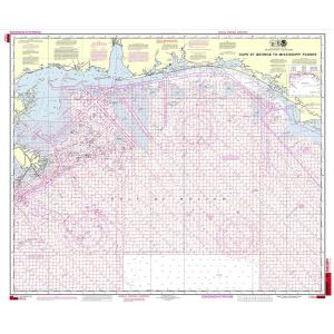
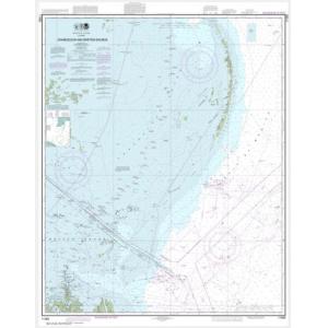
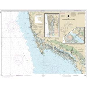
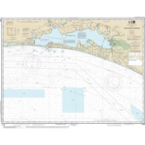
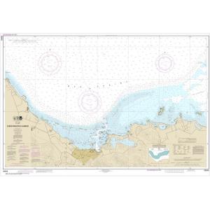
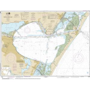
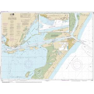
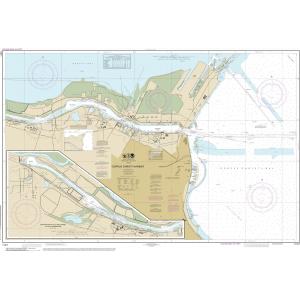
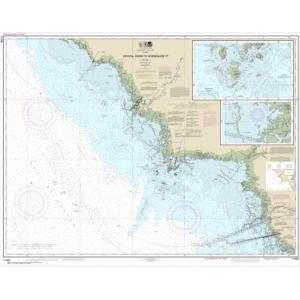
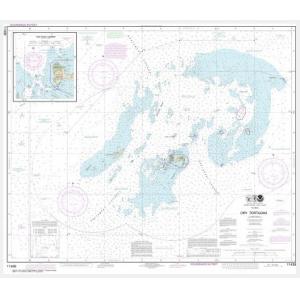
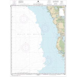
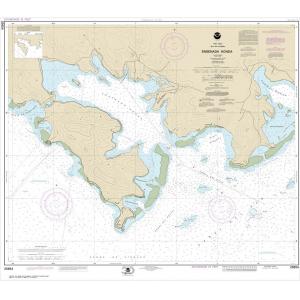
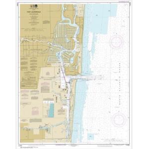
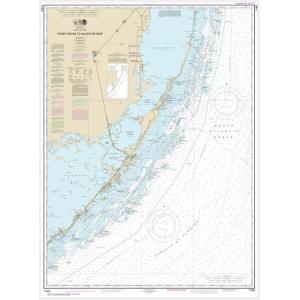
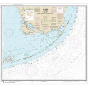
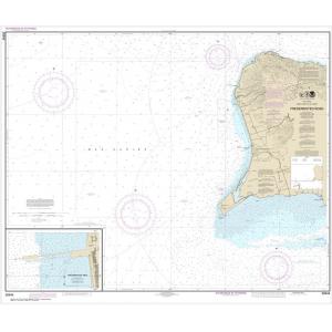
Gulf Coast NOAA charts are official maritime maps historically produced by the National Oceanic and Atmospheric Administration to chart the coastal waters of the Gulf of Mexico. These charts provide detailed hydrographic information including depth soundings, shoreline features, navigational aids, and harbor layouts. While they are no longer updated for active navigation, Gulf Coast NOAA charts remain valuable reference materials and are popular decorative pieces capturing the maritime geography of the region.
[/accordion-item]
[accordion-item title="What Are the Different Types of Gulf Coast NOAA Charts?"]
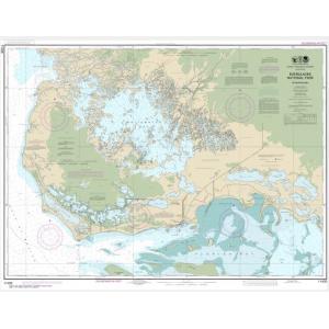
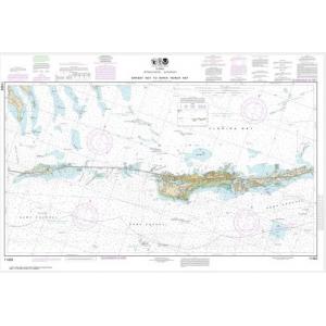
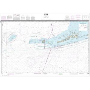
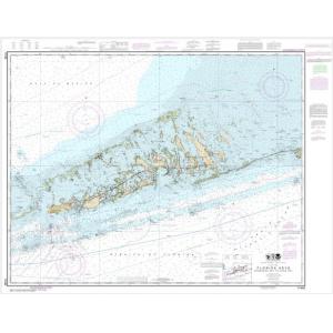
Our Gulf Coast NOAA chart collection covers all five Gulf states. This includes Texas ports such as Galveston and Corpus Christi, Louisiana’s wetlands and New Orleans, Mississippi Sound, Alabama’s Mobile Bay, and Florida’s Gulf Coast including Tampa Bay and the Keys. Charts also detail major shipping channels, fishing grounds, and offshore oil areas. These detailed maps are ideal for collectors and wall décor in coastal properties.
[/accordion-item]
[accordion-item title="Are Gulf Coast NOAA Charts Updated?"]
No. NOAA has retired its printed chart program, and these Gulf Coast charts are no longer updated. They are preserved for historical and cartographic purposes. For those who prefer a printed chart with current data, we offer custom nautical charts generated from NOAA’s latest digital information. Create your custom Gulf Coast chart here.
[/accordion-item]
[accordion-item title="What Areas Do Gulf Coast NOAA Charts Cover?"]
Gulf Coast NOAA charts cover the entire Gulf of Mexico shoreline from Texas to Florida. They include detailed depictions of bays, estuaries, harbors, and offshore waters. Key areas include Galveston Bay, New Orleans approaches, Mississippi Sound, Mobile Bay, Tampa Bay, and Florida’s western coastline, providing comprehensive coverage of this vital maritime region.
[/accordion-item]
[accordion-item title="Can I Order a Custom Gulf Coast Chart?"]
Yes. We can create custom Gulf Coast charts for any area along the U.S. Gulf shoreline. Specify the region, scale, and paper type to highlight your home port, favorite fishing spot, or boating route. Custom charts can be mounted or framed to create professional-quality decorative displays. Design your Gulf Coast chart here.
[/accordion-item]
[accordion-item title="What Finishing Options Are Available?"]
Gulf Coast NOAA charts can be printed on standard paper or waterproof synthetic material. We offer mounting on foam board for easy display and custom framing for a polished, ready-to-hang look. These options make Gulf Coast charts durable and perfect for wall décor in homes, offices, or yacht clubs. View finishing options here.
[/accordion-item]
[accordion-item title="Can I Find a Specific Gulf Coast NOAA Chart by Number?"]
Yes. Use the search bar at the top-right corner of our website to enter your chart number for quick access. You can also browse this category to visually locate the Gulf Coast chart you need.
[/accordion-item]
[accordion-item title="What Makes Gulf Coast NOAA Charts Ideal for Decorative Use?"]
These charts capture the distinctive waterways, bays, and coastlines of the Gulf region. Their detailed cartography and large size make them excellent for framing and displaying in beach houses, offices, and yacht clubs. A chart of a meaningful Gulf port or fishing ground creates a personalized, conversation-worthy wall feature.
[/accordion-item]
[accordion-item title="Why Buy Gulf Coast NOAA Charts from The Map Shop?"]
With over 30 years of experience, The Map Shop is a trusted provider of NOAA charts. We print every Gulf Coast chart in-house in Charlotte, NC using premium materials and expert finishing techniques. With thousands of charts available for quick printing, mounting, and framing, we guarantee high quality and reliable service. Read customer reviews here or learn more about our company here.
[/accordion-item]
[/accordion]
Price range: $29.99 through $549.99
Price range: $29.99 through $569.99
Price range: $29.99 through $559.99
NOAA Charts
Price range: $29.99 through $559.99
NOAA Charts
Price range: $29.99 through $569.99
NOAA Charts
Price range: $29.99 through $569.99
Price range: $29.99 through $579.99
NOAA Charts
Price range: $29.99 through $599.99
Price range: $29.99 through $579.99
Price range: $29.99 through $529.99
NOAA Charts
Price range: $29.99 through $569.99
NOAA Charts
Price range: $29.99 through $549.99
NOAA Charts
Price range: $29.99 through $279.99
Price range: $29.99 through $529.99
NOAA Charts
Price range: $29.99 through $579.99
Price range: $29.99 through $539.99
Price range: $29.99 through $549.99
Price range: $29.99 through $529.99
Price range: $29.99 through $569.99
Price range: $29.99 through $579.99
Price range: $29.99 through $559.99
Price range: $29.99 through $579.99
Price range: $29.99 through $549.99
Price range: $29.99 through $569.99