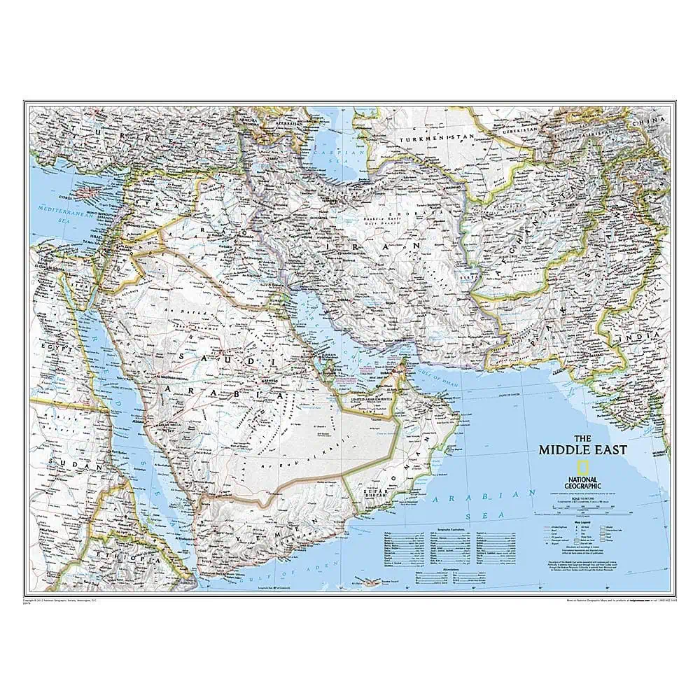
National Geographic Middle East Wall Map
National Geographic’s Middle East wall map runs from northern Africa across the Fertile Crescent to the western edges of China and India, putting the Gulf states, the Levant, and the Central Asian republics on a single sheet.
Coverage is complete for Afghanistan, Pakistan, Tajikistan, Iran, Iraq, Kuwait, Syria, Israel, Jordan, Lebanon, Saudi Arabia, Qatar, Bahrain, the United Arab Emirates, Yemen, Oman, Cyprus, and Eritrea, with partial coverage extending into Turkey, Egypt, Sudan, Ethiopia, Djibouti, Armenia, Azerbaijan, Turkmenistan, Uzbekistan, and Kyrgyzstan.
- Thousands of place names, archeological sites, and infrastructure networks
- Roads, railroads, canals, ferry routes, and airports
- Shaded relief and coastal bathymetry
- Peak elevations and depth soundings in meters
The Classic style palette, blue oceans and clean type, has anchored National Geographic wall maps for over 75 years. Map Shop finishes it as paper, laminated, foam core mounted, railed, or framed for conference rooms, university offices, and newsroom walls.




